Bistand
865 m2 838 ft
Montagne · forêt de Bavière · Allemagne
The Bienstand, in several histories and novels called the Bistand, is a low mountain ridge, 865 m high, in the Bavarian Forest between the villages of Sankt Oswald-Riedlhütte and Grafenau, immediately south of the clearly higher mountains of the Rachel and Lusen, which lie within the Bavarian Forest National Park.
Source : Wikipedia, CC BY-SA · Lire l’article
Au sommet · prévision pour 2:00
3 °CPartiellement nuageux · vent 4 km/h du E
Météo au sommet : Bistand, 865 m
- 2:003 °CE 4 km/h–
- 5:003 °CE 4 km/h–
- 8:006 °CE 5 km/h–
- 11:0010 °CS 6 km/h–
- 14:0012 °CS 7 km/h–
- 17:007 °CE 5 km/h–
- 20:006 °CE 6 km/h–
- 23:007 °CNE 3 km/h–
| Jour | Ciel | Max. / min. | Pluie | Vent jusqu’à |
|---|---|---|---|---|
| Aujourd’hui | Dégagé | 12 °C / 3 °C | – | 8 km/h |
| mer. 28 oct. | Pluie forte | 9 °C / 5 °C | 4,9 mm | 13 km/h |
| jeu. 29 oct. | Plutôt dégagé | 10 °C / 1 °C | – | 9 km/h |
| ven. 30 oct. | Dégagé | 11 °C / 1 °C | – | 13 km/h |
| sam. 31 oct. | Plutôt dégagé | 10 °C / 3 °C | – | 14 km/h |
| dim. 1 nov. | Plutôt dégagé | 10 °C / 3 °C | – | 13 km/h |
| lun. 2 nov. | Plutôt dégagé | 9 °C / 1 °C | – | 9 km/h |
Prévisions de MET Norway (CC BY 4.0), mises à jour à 00:19 UTC+1. Heures locales.
Fiche technique
- Type
- Montagne
- Altitude
- 865 m (2 838 ft)
- Massif
- forêt de Bavière
- Pays
- Allemagne
- Coordonnées
- 48.894°N 13.394°E
- Source
- Wikidata, CC0
Bienstand
Mountain in Germany
The Bienstand, in several histories and novels called the Bistand, is a low mountain ridge, 865 m high, in the Bavarian Forest between the villages of Sankt Oswald-Riedlhütte and Grafenau, immediately south of the clearly higher mountains of the Rachel and Lusen, which lie within the Bavarian Forest National Park. Its name probably comes from the Middle High German and means "near the forest pasture".
Source : Wikipedia, CC BY-SA · Lire l’article
Sommets près de Bistand
- Plattenhausenriegel1 376 m · à 8,8 kmSur la carte
- Großer Rachel1 453 m · à 9,4 kmSur la carte
- Eschenberg1 042 m · à 9,5 kmSur la carte
- Lusen1 373 m · à 9,7 kmSur la carte
- Kleiner Rachel1 399 m · à 10 kmSur la carte
- Gsengetstein951 m · à 11 kmSur la carte
- Steinfleckberg1 341 m · à 11 kmSur la carte
- Hirschberg1 039 m · à 14 kmSur la carte
- Černá hora1 316 m · à 15 kmSur la carte
- Siebensteinkopf1 263 m · à 15 kmSur la carte
Les plus hauts : forêt de Bavière
- Großer Rachel1 453 mSur la carte
- Kleiner Arber1 384 mSur la carte
- Bayerischer Plöckenstein1 362 mSur la carte
- Grand Falkenstein1 315 mSur la carte
- Enzian1 285 mSur la carte
- Kiesruck1 265 mSur la carte
- Hahnenbogen1 257 mSur la carte
- Waldhäuserriegel1 151 mSur la carte
- Bistand865 mSur la carte
Plus hautes montagnes : Allemagne
- Zugspitze2 962 mSur la carte
- Hochwanner2 744 mSur la carte
- Dreitorspitze2 682 mSur la carte
- Hochkalter2 607 mSur la carte
- Biberkopf2 599 mSur la carte
- Grosser Hundstod2 594 mSur la carte
- Hochvogel2 592 mSur la carte
- Östliche Karwendelspitze2 538 mSur la carte
- Hocheisspitze2 523 mSur la carte
- Hoher Göll2 522 mSur la carte
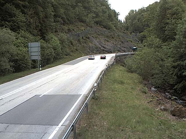
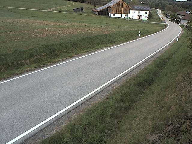
Webcams près de Bistand


Villes près de Bistand
- Deggendorfà 32 km
- Vilshofenà 33 km
- Passauà 37 km
- Strakoniceà 55 km
- Klatovyà 56 km
- Straubingà 60 km