Foss Peak
6 524 ft1 989 m
Montagne · Tatoosh Range · États-Unis
Foss Peak is a 6,524-foot (1,989-metre) summit in the Tatoosh Range which is a sub-range of the Cascade Range. It is located south of Mount Rainier within Mount Rainier National Park, in Lewis County of Washington state.
Source : Wikipedia, CC BY-SA · Lire l’article
Au sommet · prévision pour 5:00
27 °FNeige · vent 3 mph du O
 Voir en 3D
Météo au sommet : Foss Peak, 6 524 ft
- 5:0027 °FO 3 mph0,02 po
- 8:0028 °FO 3 mph–
- 11:0029 °FSO 4 mph0,03 po
- 14:0029 °FSO 7 mph0,06 po
- 17:0027 °FSO 9 mph0,08 po
- 20:0025 °FO 9 mph0,11 po
- 23:0024 °FSO 9 mph0,36 po
- 2:0023 °FO 9 mph0,18 po
| Jour | Ciel | Max. / min. | Pluie | Vent jusqu’à |
|---|---|---|---|---|
| Aujourd’hui | Neige | 30 °F / 24 °F | 0,41 po | 10 mph |
| mer. 28 oct. | Neige forte | 25 °F / 15 °F | 0,93 po | 9 mph |
| jeu. 29 oct. | Plutôt dégagé | 28 °F / 10 °F | 0,17 po | 5 mph |
| ven. 30 oct. | Partiellement nuageux | 22 °F / 13 °F | 0,03 po | 2 mph |
| sam. 31 oct. | Neige | 24 °F / 19 °F | 0,27 po | 3 mph |
| dim. 1 nov. | Partiellement nuageux | 24 °F / 13 °F | – | 4 mph |
| lun. 2 nov. | Partiellement nuageux | 37 °F / 28 °F | – | 3 mph |
Prévisions de MET Norway (CC BY 4.0), mises à jour à 02:21 UTC−7. Heures locales.
Fiche technique
- Type
- Montagne
- Altitude
- 6 524 ft (1 989 m)
- Massif
- Tatoosh Range
- Pays
- États-Unis
- Coordonnées
- 46.755°N 121.713°W
- Source
- Wikidata, CC0
Foss Peak
Mountain peak in Washington, USA
Foss Peak is a 6,524-foot (1,989-metre) summit in the Tatoosh Range which is a sub-range of the Cascade Range. It is located south of Mount Rainier within Mount Rainier National Park, in Lewis County of Washington state. The peak is named for Thea Foss (1857–1927), who founded the Foss Maritime Company with her husband in 1889. The peak also has an alternate name, Manatee Mountain.
Source : Wikipedia, CC BY-SA · Lire l’article
Sommets près de Foss Peak
- The Castle6 440 ft · à 1,2 kmSur la carte
- West Unicorn Peak6 840 ft · à 1,4 kmSur la carte
- pic Unicorn6 972 ft · à 1,5 kmSur la carte
- Pinnacle Peak6 562 ft · à 1,5 kmSur la carte
- pic Plummer6 371 ft · à 2 kmSur la carte
- Denman Peak6 006 ft · à 2,4 kmSur la carte
- Stevens Peak6 560 ft · à 2,9 kmSur la carte
- Lane Peak6 012 ft · à 3,1 kmSur la carte
- Wahpenayo Peak6 221 ft · à 4,2 kmSur la carte
- Chutla Peak6 007 ft · à 4,7 kmSur la carte
Les plus hauts : Tatoosh Range
- pic Unicorn6 972 ftSur la carte
- Foss Peak6 524 ftSur la carte
Plus hautes montagnes : États-Unis
- Denali20 308 ftSur la carte
- mont Saint-Élie18 009 ftSur la carte
- mont Foraker17 402 ftSur la carte
- mont Bona16 535 ftSur la carte
- mont Blackburn16 390 ftSur la carte
- mont Sanford16 237 ftSur la carte
- mont Vancouver15 787 ftSur la carte
- mont Churchill15 636 ftSur la carte
- mont Fairweather15 325 ftSur la carte
- mont Hubbard14 951 ftSur la carte
Webcams près de Foss Peak
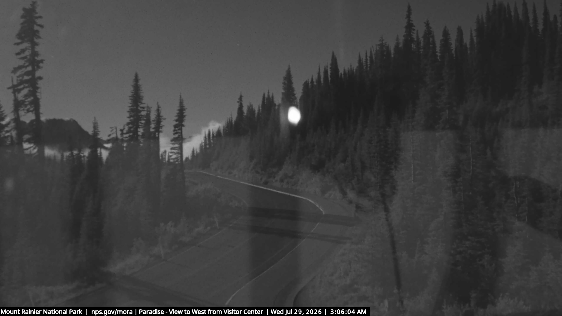
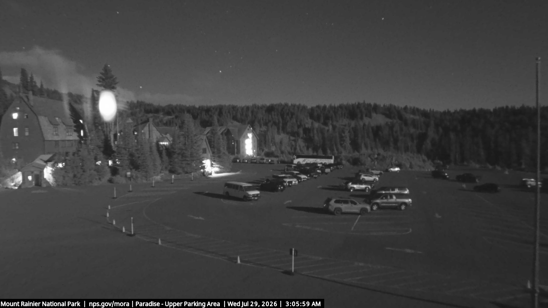
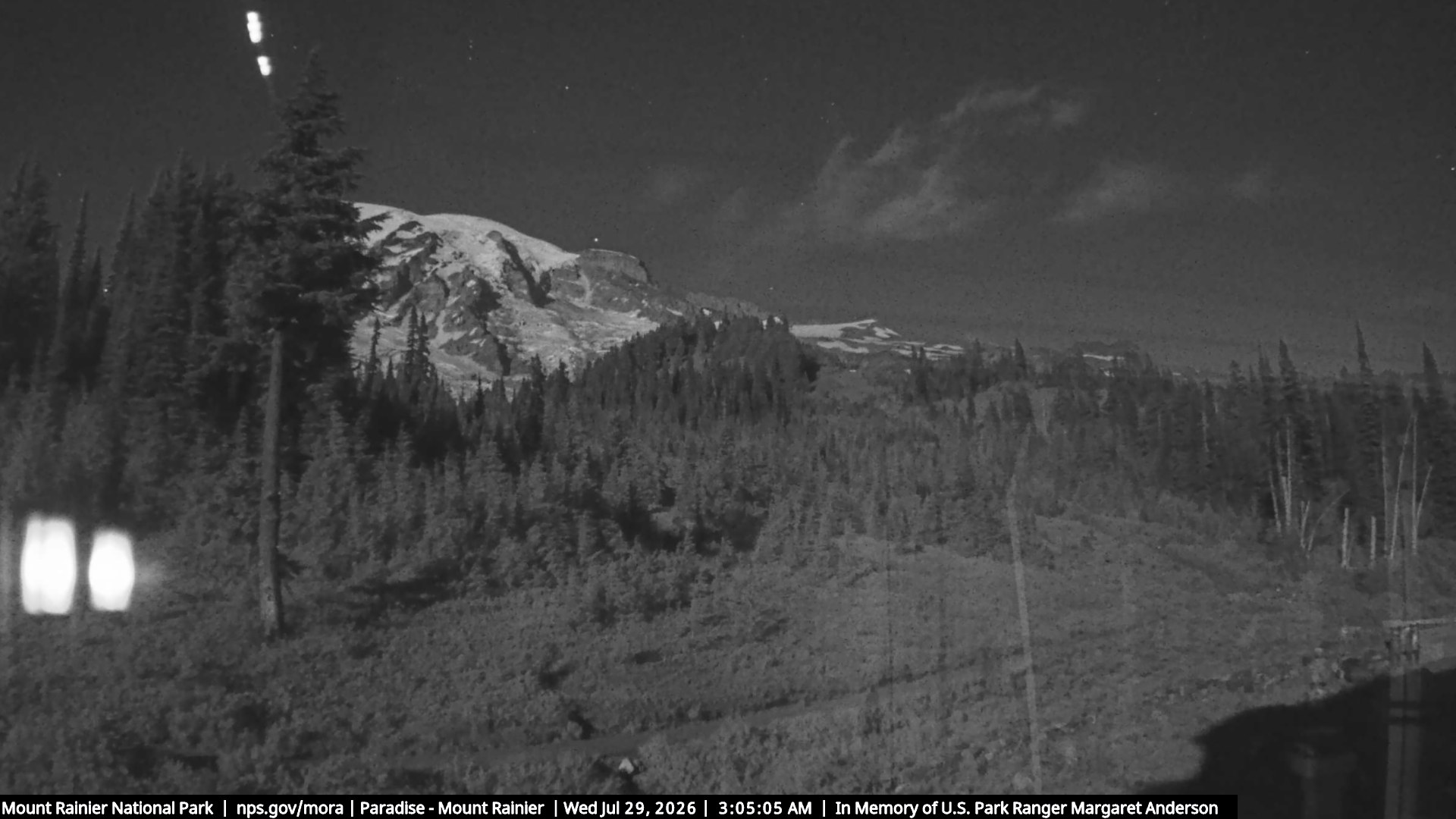
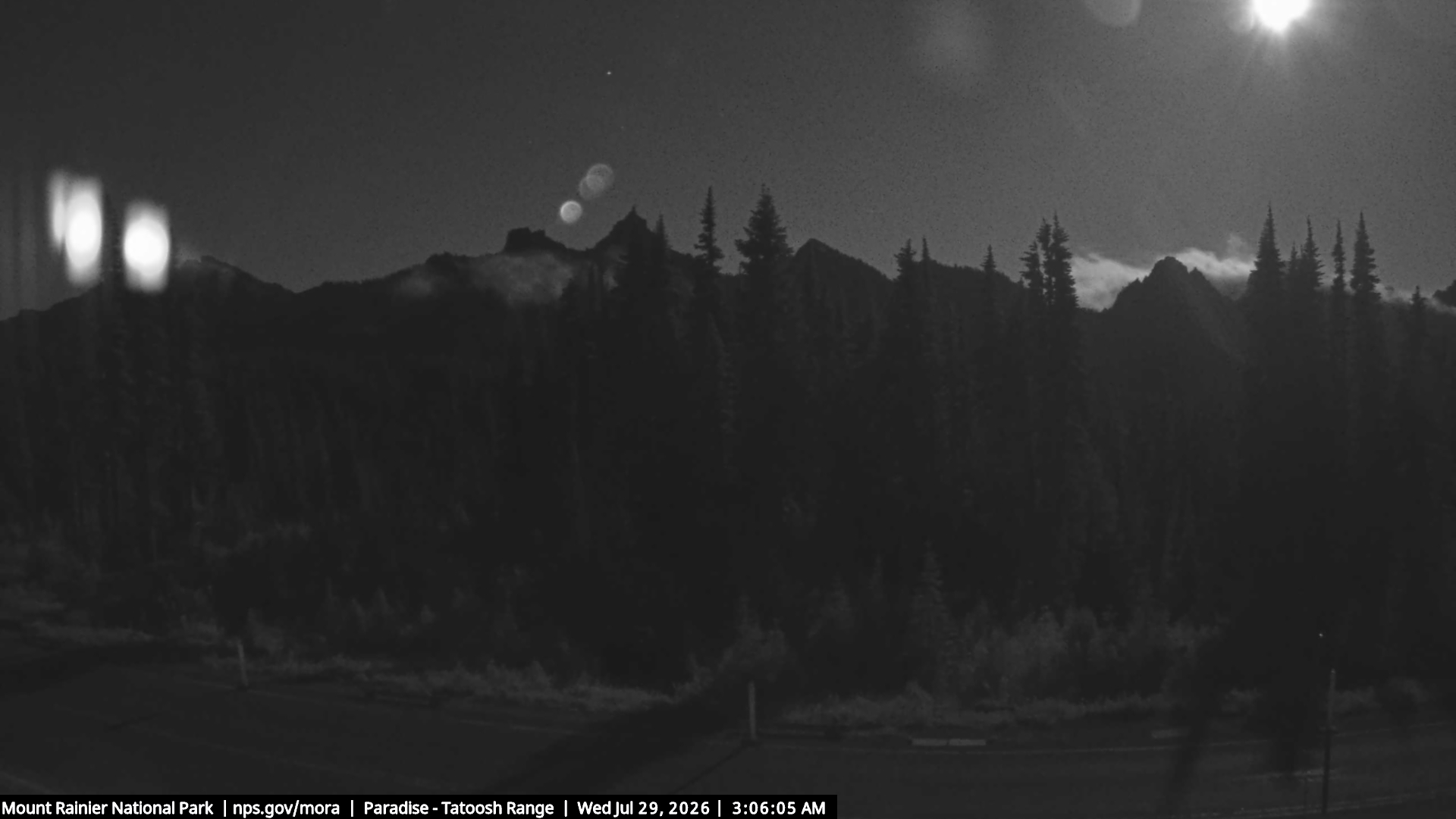
Villes près de Foss Peak
- Ortingà 54 km
- Enumclawà 54 km
- Grahamà 55 km
- Bonney Lakeà 59 km
- South Hillà 60 km
- Fredericksonà 62 km