Wahpenayo Peak
6 221 ft1 896 m
Montagne · Tatoosh Range · États-Unis
Wahpenayo Peak is a 6,231-foot (1,899-metre) mountain summit in Lewis County of Washington state, United States. It is part of the Tatoosh Range which is a sub-range of the Cascade Range. It is located south of Mount Rainier within Mount Rainier National Park.
Source : Wikipedia, CC BY-SA · Lire l’article
Au sommet · prévision pour 23:00
26 °FBrouillard · vent 6 mph du E
 Voir en 3D
Météo au sommet : Wahpenayo Peak, 6 221 ft
- 23:0026 °FE 6 mph–
- 2:0026 °FE 7 mph–
- 5:0025 °FE 6 mph0,06 po
- 8:0026 °FE 5 mph0,1 po
- 11:0028 °FSE 4 mph0,08 po
- 14:0029 °FSE 6 mph0,01 po
- 17:0027 °FSE 4 mph–
- 20:0018 °FNE 5 mph–
| Jour | Ciel | Max. / min. | Pluie | Vent jusqu’à |
|---|---|---|---|---|
| ven. 30 oct. | Neige | 30 °F / 15 °F | 0,25 po | 7 mph |
| sam. 31 oct. | Partiellement nuageux | 35 °F / 15 °F | 0,01 po | 5 mph |
| dim. 1 nov. | Dégagé | 35 °F / 23 °F | – | 1 mph |
| lun. 2 nov. | Plutôt dégagé | 38 °F / 24 °F | – | 1 mph |
| mar. 3 nov. | Plutôt dégagé | 41 °F / 35 °F | – | 1 mph |
| mer. 4 nov. | Dégagé | 43 °F / 33 °F | – | 5 mph |
| jeu. 5 nov. | Nuageux | 41 °F / 37 °F | 0,02 po | 3 mph |
Prévisions de MET Norway (CC BY 4.0), mises à jour à 10:18 UTC−7. Heures locales.
Fiche technique
- Type
- Montagne
- Altitude
- 6 221 ft (1 896 m)
- Massif
- Tatoosh Range
- Pays
- États-Unis
- Coordonnées
- 46.747°N 121.767°W
- Source
- Wikidata, CC0
Wahpenayo Peak
Mountain in Washington (state), United States
Wahpenayo Peak is a 6,231-foot (1,899-metre) mountain summit in Lewis County of Washington state, United States. It is part of the Tatoosh Range which is a sub-range of the Cascade Range. It is located south of Mount Rainier within Mount Rainier National Park. The mountain is named for Wahpenayo, a native American chief who was the father-in-law of Indian Henry.
Source : Wikipedia, CC BY-SA · Lire l’article
Sommets près de Wahpenayo Peak
- Chutla Peak6 007 ft · à 0,9 kmSur la carte
- Eagle Peak5 955 ft · à 1,3 kmSur la carte
- Lane Peak6 012 ft · à 1,6 kmSur la carte
- Denman Peak6 006 ft · à 2,1 kmSur la carte
- Pinnacle Peak6 562 ft · à 2,9 kmSur la carte
- The Castle6 440 ft · à 3,2 kmSur la carte
- pic Plummer6 371 ft · à 3,4 kmSur la carte
- Foss Peak6 524 ft · à 4,2 kmSur la carte
- West Unicorn Peak6 840 ft · à 4,7 kmSur la carte
- pic Unicorn6 972 ft · à 5,1 kmSur la carte
Les plus hauts : Tatoosh Range
- pic Unicorn6 972 ftSur la carte
- Wahpenayo Peak6 221 ftSur la carte
Plus hautes montagnes : États-Unis
- Denali20 308 ftSur la carte
- mont Saint-Élie18 009 ftSur la carte
- mont Foraker17 402 ftSur la carte
- mont Bona16 535 ftSur la carte
- mont Blackburn16 390 ftSur la carte
- mont Sanford16 237 ftSur la carte
- mont Vancouver15 787 ftSur la carte
- mont Churchill15 636 ftSur la carte
- mont Fairweather15 325 ftSur la carte
- mont Hubbard14 951 ftSur la carte
Webcams près de Wahpenayo Peak
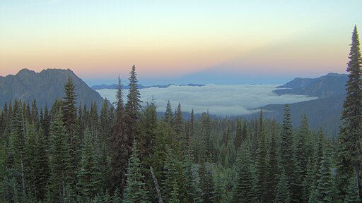
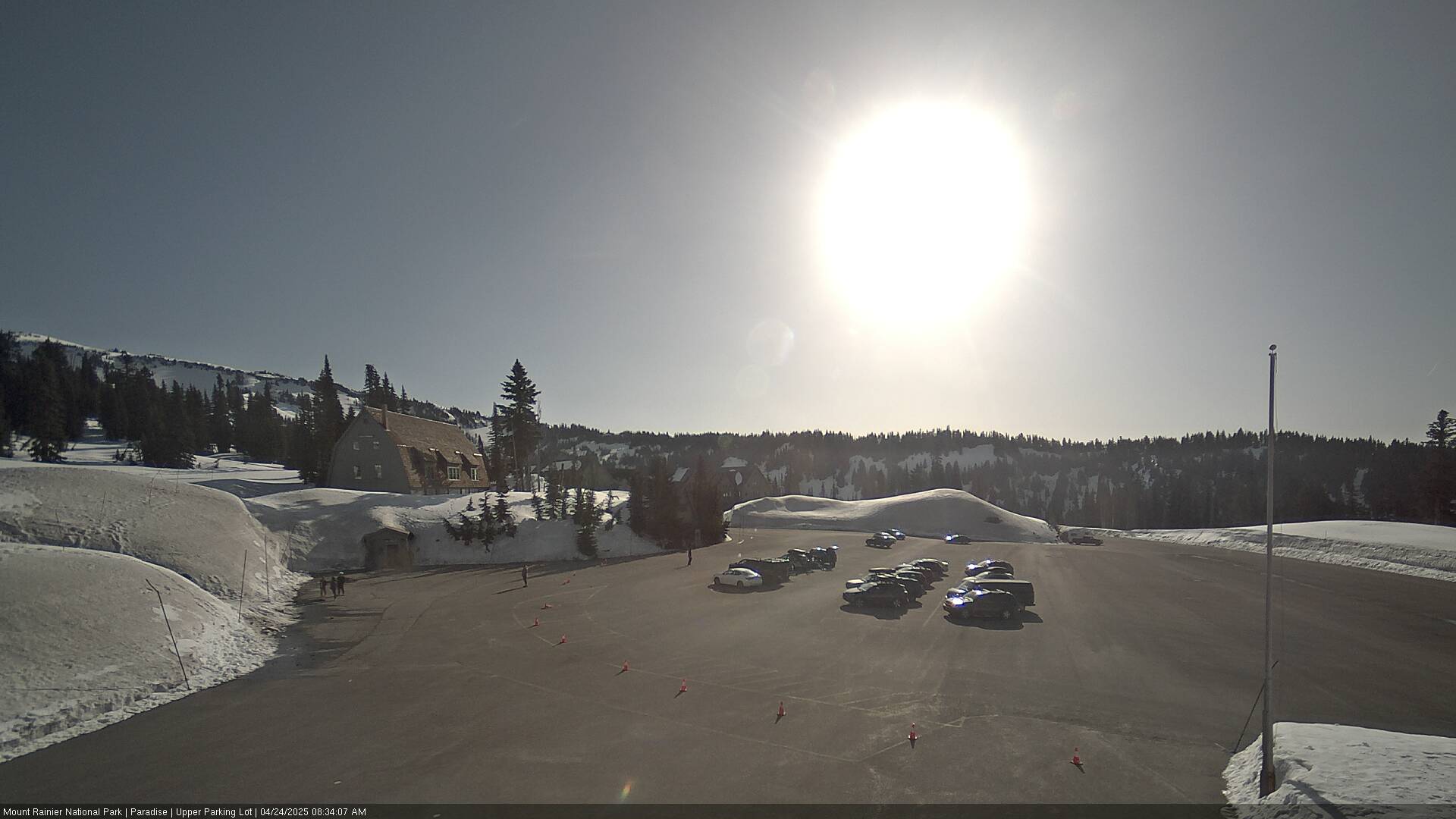
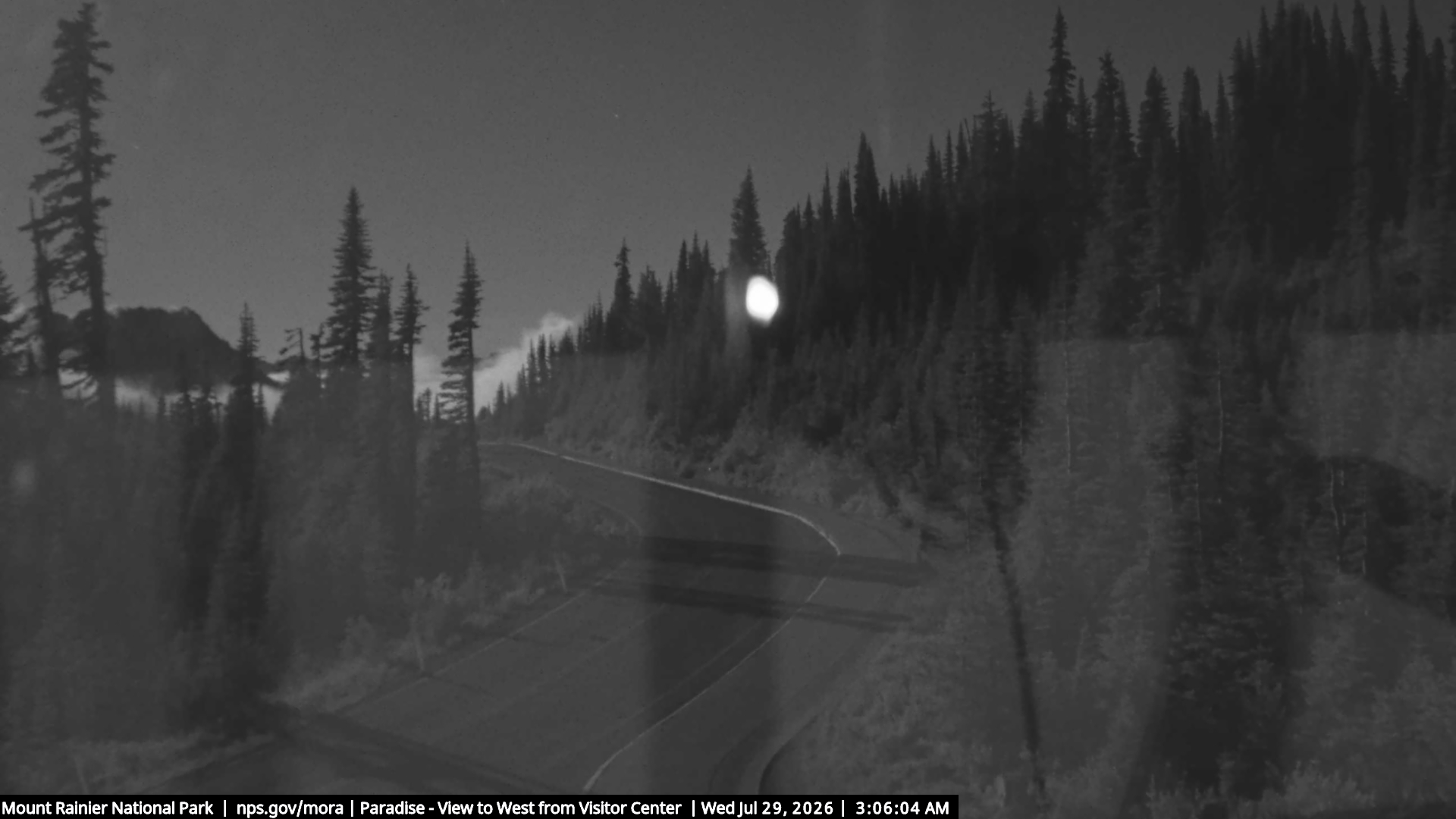
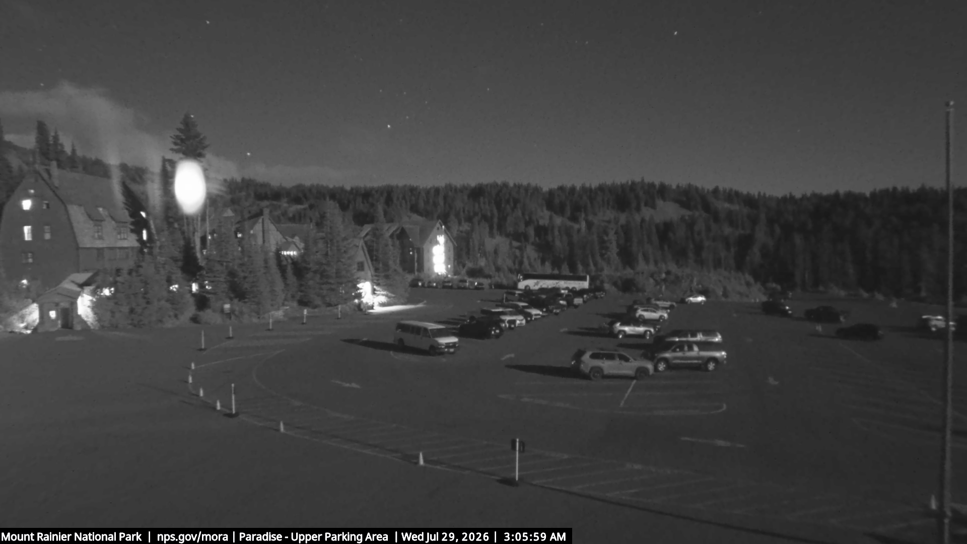
Villes près de Wahpenayo Peak
- Ortingà 52 km
- Grahamà 53 km
- Enumclawà 53 km
- Bonney Lakeà 57 km
- South Hillà 58 km
- Fredericksonà 59 km