Wahpenayo Peak
6,221 ft1,896 m
山 · Tatoosh Range · アメリカ合衆国
Wahpenayo Peak is a 6,231-foot (1,899-metre) mountain summit in Lewis County of Washington state, United States. It is part of the Tatoosh Range which is a sub-range of the Cascade Range. It is located south of Mount Rainier within Mount Rainier National Park.
出典: Wikipedia、CC BY-SA · 記事を読む
山頂 · 4:00 の予報
25 °F大雪 · 西の風 10 mph
 3D で見る
Wahpenayo Peak 山頂の天気(6,221 ft)
- 4:0025 °F西 10 mph0.16 インチ
- 7:0024 °F西 11 mph0.14 インチ
- 10:0025 °F西 7 mph0.1 インチ
- 13:0026 °F南西 9 mph0.06 インチ
- 16:0025 °F西 7 mph0.01 インチ
- 19:0020 °F北西 5 mph0.02 インチ
- 22:0022 °F北東 6 mph–
- 1:0019 °F北東 5 mph–
| 日付 | 天気 | 最高 / 最低 | 雨 | 最大風速 |
|---|---|---|---|---|
| 今日 | 雪 | 26 °F / 20 °F | 0.48 インチ | 11 mph |
| 10月29日(木) | 晴れ時々曇り | 30 °F / 16 °F | 0.26 インチ | 7 mph |
| 10月30日(金) | 晴れ | 29 °F / 18 °F | 0.06 インチ | 5 mph |
| 10月31日(土) | 快晴 | 28 °F / 16 °F | – | 3 mph |
| 11月1日(日) | 晴れ | 28 °F / 20 °F | – | 2 mph |
| 11月2日(月) | 晴れ | 43 °F / 32 °F | – | 3 mph |
| 11月3日(火) | 快晴 | 42 °F / 38 °F | – | 3 mph |
MET Norway(CC BY 4.0)による予報。02:22 GMT-7 更新。時刻は現地時間です。
基本データ
- 種類
- 山
- 標高
- 6,221 ft (1,896 m)
- 山脈
- Tatoosh Range
- 座標
- 46.747°N 121.767°W
Wahpenayo Peak
Mountain in Washington (state), United States
Wahpenayo Peak is a 6,231-foot (1,899-metre) mountain summit in Lewis County of Washington state, United States. It is part of the Tatoosh Range which is a sub-range of the Cascade Range. It is located south of Mount Rainier within Mount Rainier National Park. The mountain is named for Wahpenayo, a native American chief who was the father-in-law of Indian Henry.
出典: Wikipedia、CC BY-SA · 記事を読む
Wahpenayo Peak周辺の山
- Chutla Peak6,007 ft · 0.9 km先地図上
- Eagle Peak5,955 ft · 1.3 km先地図上
- Lane Peak6,012 ft · 1.6 km先地図上
- Denman Peak6,006 ft · 2.1 km先地図上
- Pinnacle Peak6,562 ft · 2.9 km先地図上
- The Castle6,440 ft · 3.2 km先地図上
- Plummer Peak6,371 ft · 3.4 km先地図上
- Foss Peak6,524 ft · 4.2 km先地図上
- West Unicorn Peak6,840 ft · 4.7 km先地図上
- Unicorn Peak6,972 ft · 5.1 km先地図上
Tatoosh Rangeの最高峰
- Unicorn Peak6,972 ft地図上
- Wahpenayo Peak6,221 ft地図上
アメリカ合衆国の高い山
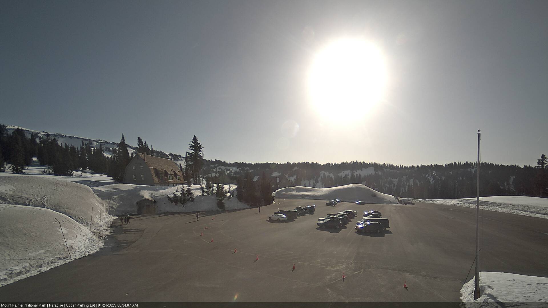
Wahpenayo Peak周辺のライブカメラ



Wahpenayo Peak周辺の町
- Orting52 km先
- グレアム53 km先
- Enumclaw53 km先
- ボニーレイク57 km先
- South Hill58 km先
- Frederickson59 km先