Montagnes de Allemagne
Geißriegel
1 043 m3 422 ft
Montagne · forêt de Bavière · Allemagne
The 1,043-metre-high Geißriegel is a mountain in the Danube Hills, the anterior part of the Bavarian Forest, southwest of the Lower Bavarian county town of Regen and northeast of the county town of Deggendorf. It lies within the municipality of Grafling in the county of Deggendorf.
Source : Wikipedia, CC BY-SA · Lire l’article
Au sommet · prévision pour 20:00
3 °CDégagé · vent 8 km/h du E
 Voir en 3D
Météo au sommet : Geißriegel, 1 043 m
- 20:003 °CE 8 km/h–
- 23:002 °CNE 6 km/h–
- 2:002 °CNE 3 km/h–
- 5:001 °CNE 3 km/h–
- 8:002 °CE 4 km/h0,6 mm
- 11:005 °CSO 3 km/h3,3 mm
- 14:005 °CO 7 km/h1,9 mm
- 17:004 °CNO 11 km/h–
| Jour | Ciel | Max. / min. | Pluie | Vent jusqu’à |
|---|---|---|---|---|
| mer. 28 oct. | Pluie | 6 °C / 0 °C | 5,8 mm | 11 km/h |
| jeu. 29 oct. | Dégagé | 7 °C / -2 °C | – | 7 km/h |
| ven. 30 oct. | Dégagé | 8 °C / -4 °C | – | 6 km/h |
| sam. 31 oct. | Partiellement nuageux | 8 °C / -0 °C | – | 5 km/h |
| dim. 1 nov. | Nuageux | 5 °C / -2 °C | – | 6 km/h |
| lun. 2 nov. | Pluie faible | 4 °C / -4 °C | 0,6 mm | 10 km/h |
| mar. 3 nov. | Pluie | 3 °C / -0 °C | 2,1 mm | 14 km/h |
Prévisions de MET Norway (CC BY 4.0), mises à jour à 18:17 UTC+1. Heures locales.
Fiche technique
- Type
- Montagne
- Altitude
- 1 043 m (3 422 ft)
- Massif
- forêt de Bavière
- Pays
- Allemagne
- Coordonnées
- 48.903°N 13.008°E
- Source
- Wikidata, CC0
Sommets près de Geißriegel
- Geisskopf1 097 m · à 3,1 kmSur la carte
- Teufelstisch901 m · à 5,3 kmSur la carte
- Vogelsang1 022 m · à 5,9 kmSur la carte
- Rauher Kulm1 050 m · à 9,4 kmSur la carte
- Klausenstein1 048 m · à 9,7 kmSur la carte
- Hirschenstein1 092 m · à 12 kmSur la carte
- Kälberbuckel1 054 m · à 12 kmSur la carte
- Knogl1 056 m · à 15 kmSur la carte
- Predigtstuhl1 024 m · à 16 kmSur la carte
- Büchelstein832 m · à 16 kmSur la carte
Les plus hauts : forêt de Bavière
- Großer Rachel1 453 mSur la carte
- Kleiner Arber1 384 mSur la carte
- Bayerischer Plöckenstein1 362 mSur la carte
- Grand Falkenstein1 315 mSur la carte
- Enzian1 285 mSur la carte
- Kiesruck1 265 mSur la carte
- Hahnenbogen1 257 mSur la carte
- Waldhäuserriegel1 151 mSur la carte
- Geißriegel1 043 mSur la carte
Plus hautes montagnes : Allemagne
- Zugspitze2 962 mSur la carte
- Hochwanner2 744 mSur la carte
- Dreitorspitze2 682 mSur la carte
- Hochkalter2 607 mSur la carte
- Biberkopf2 599 mSur la carte
- Grosser Hundstod2 594 mSur la carte
- Hochvogel2 592 mSur la carte
- Östliche Karwendelspitze2 538 mSur la carte
- Hocheisspitze2 523 mSur la carte
- Hoher Göll2 522 mSur la carte
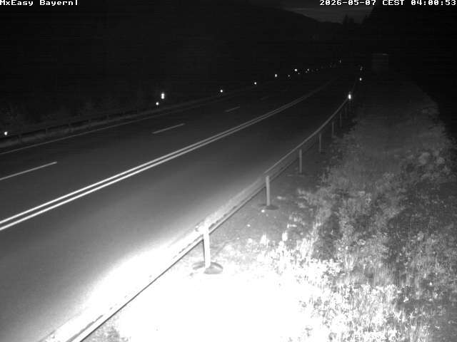
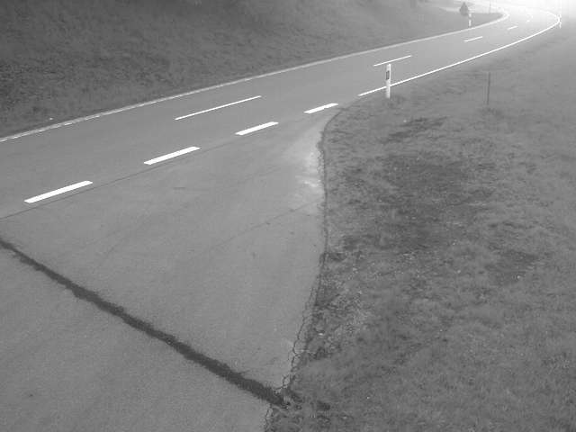
Webcams près de Geißriegel


Villes près de Geißriegel
- Deggendorfà 7,8 km
- Straubingà 32 km
- Vilshofenà 34 km
- Chamà 44 km
- Dingolfingà 48 km
- Passauà 49 km