Montagnes de Allemagne
Voir en 3DHadriwa (Bavarian Forest, Zell)
677 m2 221 ft
Montagne · forêt de Bavière · Allemagne
The Hadriwa is a mountain, 677 m above sea level, in the municipality of Zell in the county of Cham in the German state of Bavaria, and the highest point in the region south of Zell between the Perlenbach and Göppenbach streams.
Source : Wikipedia, CC BY-SA · Lire l’article
Au sommet · prévision pour 19:00
4 °CDégagé · vent 8 km/h du NE
Météo au sommet : Hadriwa (Bavarian Forest, Zell), 677 m
- 19:004 °CNE 8 km/h–
- 22:003 °CNE 12 km/h–
- 1:002 °CNE 9 km/h–
- 4:001 °CNE 11 km/h–
- 7:001 °CNE 12 km/h–
- 10:006 °CNE 11 km/h–
- 13:009 °CNE 15 km/h–
- 16:007 °CNE 16 km/h–
| Jour | Ciel | Max. / min. | Pluie | Vent jusqu’à |
|---|---|---|---|---|
| ven. 30 oct. | Plutôt dégagé | 9 °C / 1 °C | – | 16 km/h |
| sam. 31 oct. | Nuageux | 6 °C / 0 °C | – | 10 km/h |
| dim. 1 nov. | Partiellement nuageux | 6 °C / 1 °C | 0,1 mm | 13 km/h |
| lun. 2 nov. | Nuageux | 6 °C / -1 °C | – | 15 km/h |
| mar. 3 nov. | Partiellement nuageux | 5 °C / 1 °C | – | 19 km/h |
| mer. 4 nov. | Partiellement nuageux | 5 °C / -2 °C | – | 18 km/h |
| jeu. 5 nov. | Plutôt dégagé | 5 °C / -1 °C | – | 14 km/h |
Prévisions de MET Norway (CC BY 4.0), mises à jour à 12:23 UTC+1. Heures locales.
Fiche technique
- Type
- Montagne
- Altitude
- 677 m (2 221 ft)
- Massif
- forêt de Bavière
- Pays
- Allemagne
- Coordonnées
- 49.122°N 12.400°E
- Source
- Wikidata, CC0
Sommets près de Hadriwa (Bavarian Forest, Zell)
- Kobelberg703 m · à 15 kmSur la carte
- Gallner709 m · à 22 kmSur la carte
- Hadriwa (Bavarian Forest, Haibach)922 m · à 28 kmSur la carte
- Käsplatte978 m · à 31 kmSur la carte
- Pröller1 048 m · à 33 kmSur la carte
- Predigtstuhl1 024 m · à 35 kmSur la carte
- Knogl1 056 m · à 36 kmSur la carte
- Kreuzfelsen999 m · à 38 kmSur la carte
- Kälberbuckel1 054 m · à 39 kmSur la carte
- Hirschenstein1 092 m · à 39 kmSur la carte
Les plus hauts : forêt de Bavière
- Großer Rachel1 453 mSur la carte
- Kleiner Arber1 384 mSur la carte
- Bayerischer Plöckenstein1 362 mSur la carte
- Grand Falkenstein1 315 mSur la carte
- Enzian1 285 mSur la carte
- Kiesruck1 265 mSur la carte
- Hahnenbogen1 257 mSur la carte
- Waldhäuserriegel1 151 mSur la carte
- Hadriwa (Bavarian Forest, Zell)677 mSur la carte
Plus hautes montagnes : Allemagne
- Zugspitze2 962 mSur la carte
- Hochwanner2 744 mSur la carte
- Dreitorspitze2 682 mSur la carte
- Hochkalter2 607 mSur la carte
- Biberkopf2 599 mSur la carte
- Grosser Hundstod2 594 mSur la carte
- Hochvogel2 592 mSur la carte
- Östliche Karwendelspitze2 538 mSur la carte
- Hocheisspitze2 523 mSur la carte
- Hoher Göll2 522 mSur la carte
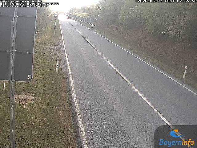
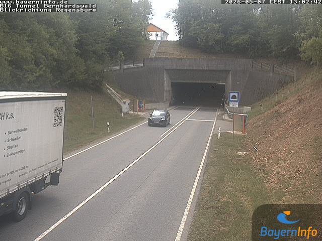
Webcams près de Hadriwa (Bavarian Forest, Zell)
Villes près de Hadriwa (Bavarian Forest, Zell)
- Chamà 22 km
- Ratisbonneà 25 km
- Straubingà 30 km
- Schwandorfà 31 km
- Kelheimà 44 km
- Deggendorfà 51 km