Hochries
1 569 m5 148 ft
Montagne · Alpes de Chiemgau · Allemagne
Hochries is a mountain in Bavaria, Germany. It is 1569 m high, and is located in the north-western part of the Chiemgauer Alpen. The summit can be reached by cable car from Grainbach. Starting from the village, a chairlift takes you to the middle station at 920 m above sea level.
Source : Wikipedia, CC BY-SA · Lire l’article
Au sommet · prévision pour 1:00
-3 °CDégagé · vent 8 km/h du S
 Voir en 3D
Météo au sommet : Hochries, 1 569 m
- 1:00-3 °CS 8 km/h–
- 4:000 °CS 10 km/h–
- 7:001 °CS 10 km/h–
- 10:008 °CSE 8 km/h–
- 13:0011 °CNE 9 km/h–
- 16:009 °CNE 11 km/h–
- 19:004 °CS 4 km/h–
- 22:002 °CS 5 km/h–
| Jour | Ciel | Max. / min. | Pluie | Vent jusqu’à |
|---|---|---|---|---|
| Aujourd’hui | Dégagé | 11 °C / -3 °C | – | 12 km/h |
| mer. 28 oct. | Pluie forte | 7 °C / 1 °C | 8,7 mm | 15 km/h |
| jeu. 29 oct. | Partiellement nuageux | 5 °C / -1 °C | – | 9 km/h |
| ven. 30 oct. | Dégagé | 4 °C / -3 °C | – | 8 km/h |
| sam. 31 oct. | Plutôt dégagé | 4 °C / -2 °C | – | 10 km/h |
| dim. 1 nov. | Plutôt dégagé | 4 °C / -4 °C | – | 4 km/h |
| lun. 2 nov. | Plutôt dégagé | 3 °C / -3 °C | – | 6 km/h |
Prévisions de MET Norway (CC BY 4.0), mises à jour à 00:19 UTC+1. Heures locales.
Fiche technique
- Type
- Montagne
- Altitude
- 1 569 m (5 148 ft)
- Isolement
- à 4 km d’un terrain plus haut
- Massif
- Alpes de Chiemgau
- Pays
- Allemagne
- Coordonnées
- 47.747°N 12.249°E
- Source
- Wikidata, CC0
Hochries
Hochries is a mountain in Bavaria, Germany. It is 1569 m high, and is located in the north-western part of the Chiemgauer Alpen. The summit can be reached by cable car from Grainbach. Starting from the village, a chairlift takes you to the middle station at 920 m above sea level. From there, a cable car leads to the summit.
Source : Wikipedia, CC BY-SA · Lire l’article
Sommets près de Hochries
- Kampenwand1 669 m · à 8,7 kmSur la carte
- Petersköpfl1 745 m · à 15 kmSur la carte
- Naunspitze1 633 m · à 15 kmSur la carte
- Pyramidenspitze1 997 m · à 15 kmSur la carte
- Feldberg1 813 m · à 18 kmSur la carte
- Wendelstein1 838 m · à 18 kmSur la carte
- Totenkirchl2 190 m · à 20 kmSur la carte
- Predigtstuhl2 116 m · à 20 kmSur la carte
- Fleischbank2 186 m · à 20 kmSur la carte
- Hackenköpfe2 126 m · à 21 kmSur la carte
Les plus hauts : Alpes de Chiemgau
- Sonntagshorn1 961 mSur la carte
- Steinplatte1 869 mSur la carte
- Geigelstein1 808 mSur la carte
- Dürrnbachhorn1 776 mSur la carte
- Fellhorn1 764 mSur la carte
- Hochgern1 748 mSur la carte
- Gurnwandkopf1 691 mSur la carte
- Hochfelln1 674 mSur la carte
- Hochries1 569 mSur la carte
Plus hautes montagnes : Allemagne
- Zugspitze2 962 mSur la carte
- Hochwanner2 744 mSur la carte
- Dreitorspitze2 682 mSur la carte
- Hochkalter2 607 mSur la carte
- Biberkopf2 599 mSur la carte
- Grosser Hundstod2 594 mSur la carte
- Hochvogel2 592 mSur la carte
- Östliche Karwendelspitze2 538 mSur la carte
- Hocheisspitze2 523 mSur la carte
- Hoher Göll2 522 mSur la carte
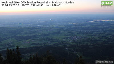
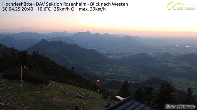
Webcams près de Hochries

Histoire autour de Hochries
Villes près de Hochries
- Rosenheimà 15 km
- Kolbermoorà 18 km
- Bad Aiblingà 22 km
- Bruckmühlà 29 km
- Traunsteinà 32 km
- Traunreutà 35 km