Hung Fa Chai
489 m1 604 ft
Colline · Chine
Hung Fa Chai is a hill in Robin's Nest Country Park, New Territories, Hong Kong. With a height of 489 metres (1,604 ft), it lies 500 metres (1,600 ft) to the northeast of Robin's Nest, and is no longer inside the Frontier Closed Area south of the border with Shenzhen in mainland China.
Source : Wikipedia, CC BY-SA · Lire l’article
Au sommet · prévision pour 13:00
25 °CPartiellement nuageux · vent 19 km/h du E
 Voir en 3D
Météo au sommet : Hung Fa Chai, 489 m
- 13:0025 °CE 19 km/h–
- 16:0024 °CE 19 km/h–
- 19:0022 °CE 21 km/h–
- 22:0021 °CE 22 km/h–
- 1:0021 °CE 22 km/h–
- 4:0020 °CE 20 km/h–
- 7:0020 °CE 17 km/h–
- 10:0023 °CE 17 km/h–
| Jour | Ciel | Max. / min. | Pluie | Vent jusqu’à |
|---|---|---|---|---|
| jeu. 29 oct. | Plutôt dégagé | 25 °C / 20 °C | – | 22 km/h |
| ven. 30 oct. | Dégagé | 28 °C / 18 °C | – | 14 km/h |
| sam. 31 oct. | Dégagé | 26 °C / 20 °C | 0,1 mm | 15 km/h |
| dim. 1 nov. | Partiellement nuageux | 26 °C / 21 °C | 1,7 mm | 13 km/h |
| lun. 2 nov. | Nuageux | 28 °C / 21 °C | – | 9 km/h |
| mar. 3 nov. | Partiellement nuageux | 26 °C / 21 °C | 0,5 mm | 13 km/h |
| mer. 4 nov. | Plutôt dégagé | 26 °C / 21 °C | – | 13 km/h |
Prévisions de MET Norway (CC BY 4.0), mises à jour à 09:17 UTC+8. Heures locales.
Fiche technique
- Type
- Colline
- Altitude
- 489 m (1 604 ft)
- Pays
- Chine
- Coordonnées
- 22.543°N 114.194°E
- Source
- Wikidata, CC0
Hung Fa Chai
Hill in the New Territories of Hong Kong
Hung Fa Chai is a hill in Robin's Nest Country Park, New Territories, Hong Kong. With a height of 489 metres (1,604 ft), it lies 500 metres (1,600 ft) to the northeast of Robin's Nest, and is no longer inside the Frontier Closed Area south of the border with Shenzhen in mainland China. Hikers can reach there without any permit.
Source : Wikipedia, CC BY-SA · Lire l’article
Sommets près de Hung Fa Chai
- mont Wutong944 m · à 4,9 kmSur la carte
- Wong Leng639 m · à 6,3 kmSur la carte
- North Tai To Yan480 m · à 11 kmSur la carte
- Tai To Yan566 m · à 13 kmSur la carte
- Kai Kung Leng572 m · à 14 kmSur la carte
- Grassy Hill647 m · à 15 kmSur la carte
- Sze Fong Shan785 m · à 15 kmSur la carte
- Tiu Shau Ngam588 m · à 15 kmSur la carte
- Ngau Ngak Shan674 m · à 15 kmSur la carte
- Ma On Shan702 m · à 16 kmSur la carte
Plus hautes montagnes : Chine
- Everest8 849 mSur la carte
- Lhotse8 516 mSur la carte
- Makalu8 485 mSur la carte
- Cho Oyu8 188 mSur la carte
- Gasherbrum I8 080 mSur la carte
- Broad Peak8 051 mSur la carte
- Gasherbrum II8 034 mSur la carte
- Shishapangma8 027 mSur la carte
- Gyachung Kang7 952 mSur la carte
- Gasherbrum III7 946 mSur la carte
Webcams près de Hung Fa Chai
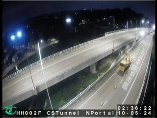 Heung Yuen Wai Highway near Cheung Shan Tunnel North Portalà 2,8 km du sommet
- Heung Yuen Wai Highway near Cheung Shan Tunnel North Portal [HH002F]à 2,8 km du sommet
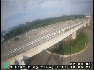 Heung Yuen Wai Highway near Ping Yeung Interchangeà 3,3 km du sommet
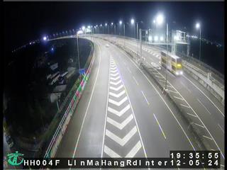 Heung Yuen Wai Highway near Lin Ma Hang Road Interchangeà 4,3 km du sommet
Histoire autour de Hung Fa Chai
Villes près de Hung Fa Chai
- Fanlingà 7,7 km
- Sheung Shuià 8,5 km
- Shuen Wanà 8,5 km
- Tai Mei Tukà 8,7 km
- Hong Lok Yuenà 9,7 km
- Tai Poà 11 km