Mountains in China
Hung Fa Chai
489 m1,604 ft
Hill · China
At the summit · forecast for 8:00 AM
21 °CClear · wind 10 km/h from the NE
 See it in 3D

Weather at the summit of Hung Fa Chai, 489 m
- 8:00 AM21 °CNE 10 km/h–
- 11:00 AM26 °CNE 13 km/h–
- 2:00 PM27 °CE 12 km/h–
- 5:00 PM24 °CSE 10 km/h–
- 8:00 PM21 °CSE 13 km/h–
- 11:00 PM21 °CE 14 km/h–
- 2:00 AM21 °CE 22 km/h–
- 5:00 AM20 °CE 19 km/h–
| Day | Sky | High / low | Rain | Wind up to |
|---|---|---|---|---|
| Today | Partly cloudy | 27 °C / 21 °C | – | 17 km/h |
| Wed, Oct 28 | Mostly clear | 26 °C / 20 °C | – | 23 km/h |
| Thu, Oct 29 | Clear | 26 °C / 19 °C | – | 22 km/h |
| Fri, Oct 30 | Clear | 28 °C / 20 °C | – | 8 km/h |
| Sat, Oct 31 | Clear | 26 °C / 20 °C | – | 13 km/h |
| Sun, Nov 1 | Mostly clear | 27 °C / 21 °C | 0.9 mm | 10 km/h |
| Mon, Nov 2 | Light rain | 29 °C / 21 °C | 1.8 mm | 9 km/h |
Forecast by MET Norway (CC BY 4.0), updated 07:19 AM GMT+8. Times are local.
Facts
- What it is
- Hill
- Height above sea level
- 489 m (1,604 ft)
- Country
- China
- Coordinates
- 22.543°N 114.194°E
- Source
- Wikidata, CC0
Peaks near Hung Fa Chai
- Wutong Mountain944 m · 4.9 km awayOn the map
- Wong Leng639 m · 6.3 km awayOn the map
- Pak Tai To Yan480 m · 11 km awayOn the map
- Tai To Yan566 m · 13 km awayOn the map
- Kai Kung Leng572 m · 14 km awayOn the map
- Grassy Hill647 m · 15 km awayOn the map
- Sze Fong Shan785 m · 15 km awayOn the map
- Tiu Shau Ngam588 m · 15 km awayOn the map
- The Hunch Backs674 m · 15 km awayOn the map
- Ma On Shan702 m · 16 km awayOn the map
Highest mountains in China
- Mount Everest8,849 mOn the map
- Lhotse8,516 mOn the map
- Makalu8,485 mOn the map
- Cho Oyu8,188 mOn the map
- Gasherbrum8,080 mOn the map
- Broad Peak8,051 mOn the map
- Gasherbrum II8,034 mOn the map
- Shishapangma8,027 mOn the map
- Gyachung Kang7,952 mOn the map
- Gasherbrum III7,946 mOn the map
Webcams near Hung Fa Chai
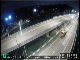 Heung Yuen Wai Highway near Cheung Shan Tunnel North Portal2.8 km from the summit
- Heung Yuen Wai Highway near Cheung Shan Tunnel North Portal [HH002F]2.8 km from the summit
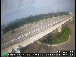 Heung Yuen Wai Highway near Ping Yeung Interchange3.3 km from the summit
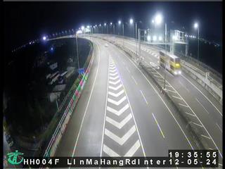 Heung Yuen Wai Highway near Lin Ma Hang Road Interchange4.3 km from the summit
History around Hung Fa Chai
Towns near Hung Fa Chai
- Fanling7.7 km away
- Sheung Shui8.5 km away
- Shuen Wan8.5 km away
- Tai Mei Tuk8.7 km away
- Hong Lok Yuen9.7 km away
- Tai Po11 km away