Mountains in Nepal
Mount Everest
8,849 m29,032 ft
Mountain · Nepal · China
Mount Everest is the highest mountain on Earth above sea level. It lies in the Mahalangur Himal sub-range of the Himalayas and marks part of the China–Nepal border at its summit. Its height was most recently measured in 2020 through a joint survey by Nepalese and Chinese authorities as 8,848.86 m.
From Wikipedia, CC BY-SA · Read the article
The highest point of Earth, Asia, China, Nepal, Himalayas, and Tibet
At the summit · forecast for 4:45 AM
-39 °CClear · wind 10 km/h from the E
 See it in 3D
Weather at the summit of Mount Everest, 8,849 m
- 4:45 AM-39 °CE 10 km/h–
- 7:45 AM-34 °CS 9 km/h–
- 10:45 AM-28 °CSW 8 km/h–
- 1:45 PM-27 °CSW 12 km/h–
- 4:45 PM-31 °CS 6 km/h–
- 7:45 PM-34 °CSE 9 km/h–
- 10:45 PM-34 °CSE 10 km/h–
- 1:45 AM-36 °CE 10 km/h–
| Day | Sky | High / low | Rain | Wind up to |
|---|---|---|---|---|
| Today | Clear | -27 °C / -39 °C | – | 12 km/h |
| Wed, Oct 28 | Cloudy | -26 °C / -37 °C | – | 10 km/h |
| Thu, Oct 29 | Snow | -25 °C / -32 °C | 16.8 mm | 8 km/h |
| Fri, Oct 30 | Heavy snow | -25 °C / -26 °C | 70.9 mm | 6 km/h |
| Sat, Oct 31 | Partly cloudy | -25 °C / -33 °C | 0.3 mm | 4 km/h |
| Sun, Nov 1 | Clear | -27 °C / -36 °C | 0.3 mm | 5 km/h |
| Mon, Nov 2 | Light snow | -30 °C / -40 °C | 0.6 mm | 6 km/h |
Forecast by MET Norway (CC BY 4.0), updated 01:01 AM GMT+5:45. Times are local.
Facts
- What it is
- Mountain
- Height above sea level
- 8,849 m (29,032 ft)
- Prominence
- 8,849 m (29,032 ft)
- First ascent
- May 29, 1953
- Highest point of
- Earth, Asia, China, Nepal, Himalayas, and Tibet
- Coordinates
- 27.988°N 86.925°E
- Source
- Wikidata, CC0
Peaks near Mount Everest
- Mahalangur Himal8,848 m · 0 km awayOn the map
- South Summit8,749 m · 0.3 km awayOn the map
- Lhotse8,516 m · 3 km awayOn the map
- North Col7,020 m · 3.1 km awayOn the map
- Hillary Peak7,681 m · 3.6 km awayOn the map
- Lhotse Shar8,383 m · 3.8 km awayOn the map
- Nuptse7,861 m · 4.2 km awayOn the map
- Changtse7,543 m · 4.3 km awayOn the map
- Lhotse Middle8,410 m · 5.5 km awayOn the map
- Khumbutse6,636 m · 6.2 km awayOn the map
Peaks below Mount Everest
- South Summit8,749 mOn the map
- Khartaphu7,227 mOn the map
Highest mountains in Nepal
- Mount Everest8,849 mOn the map
- Kanchenjunga8,586 mOn the map
- Lhotse8,516 mOn the map
- Makalu8,485 mOn the map
- Cho Oyu8,188 mOn the map
- Dhaulagiri8,167 mOn the map
- Manaslu8,163 mOn the map
- Annapurna I8,091 mOn the map
- Gyachung Kang7,952 mOn the map
- Annapurna II7,937 mOn the map
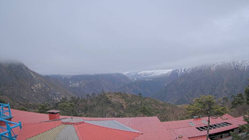
Webcams near Mount Everest
History around Mount Everest
- Twelve people are killed in an avalanche on Mount Everest2014
- 1996 Everest disaster: A sudden storm engulfs Mount Everest with several climbing teams high on the mountain, leaving eight people dead1996
- Mt Everest & Border Regions1959
- Lionel Terray and Jean Couzy become the first people to reach the summit of Makalu, the fifth-highest mountain in the world1955
Towns near Mount Everest
- Khā̃dbāri̇̄73 km away