Mountains in China
Changtse
7,543 m24,747 ft
Mountain · China
Changtse is a mountain situated between the Main Rongbuk and East Rongbuk Glaciers in Tibet Autonomous Region, China, immediately north of Mount Everest. It is connected to Mount Everest via the North Col.
From Wikipedia, CC BY-SA · Read the article
At the summit · forecast for 5:45 AM
-31 °CClear · wind 10 km/h from the SE
 See it in 3D
Weather at the summit of Changtse, 7,543 m
- 5:45 AM-31 °CSE 10 km/h–
- 8:45 AM-23 °CS 8 km/h–
- 11:45 AM-19 °CSW 10 km/h–
- 2:45 PM-20 °CSW 10 km/h–
- 5:45 PM-26 °CE 9 km/h–
- 8:45 PM-26 °CSE 10 km/h–
- 11:45 PM-27 °CSE 10 km/h–
- 2:45 AM-29 °CE 10 km/h–
| Day | Sky | High / low | Rain | Wind up to |
|---|---|---|---|---|
| Today | Clear | -19 °C / -31 °C | – | 12 km/h |
| Wed, Oct 28 | Cloudy | -18 °C / -29 °C | – | 10 km/h |
| Thu, Oct 29 | Snow | -17 °C / -24 °C | 15.4 mm | 8 km/h |
| Fri, Oct 30 | Heavy snow | -17 °C / -18 °C | 69.2 mm | 4 km/h |
| Sat, Oct 31 | Partly cloudy | -18 °C / -25 °C | 3.6 mm | 7 km/h |
| Sun, Nov 1 | Clear | -18 °C / -27 °C | 0.5 mm | 4 km/h |
| Mon, Nov 2 | Snow | -21 °C / -30 °C | 2.9 mm | 5 km/h |
Forecast by MET Norway (CC BY 4.0), updated 05:05 AM GMT+5:45. Times are local.
Facts
- What it is
- Mountain
- Height above sea level
- 7,543 m (24,747 ft)
- Prominence
- 497 m (1,631 ft)
- Country
- China
- Coordinates
- 28.025°N 86.914°E
- Source
- Wikidata, CC0
Peaks near Changtse
- North Col7,020 m · 1.5 km awayOn the map
- Khumbutse6,636 m · 4.1 km awayOn the map
- Mount Everest8,849 m · 4.3 km awayOn the map
- Mahalangur Himal8,848 m · 4.3 km awayOn the map
- South Summit8,749 m · 4.6 km awayOn the map
- Lingtren6,714 m · 6.4 km awayOn the map
- Nuptse7,861 m · 7 km awayOn the map
- Lhotse8,516 m · 7.3 km awayOn the map
- Hillary Peak7,681 m · 7.4 km awayOn the map
- Khartaphu7,227 m · 7.5 km awayOn the map
Highest mountains in China
- Mount Everest8,849 mOn the map
- Lhotse8,516 mOn the map
- Makalu8,485 mOn the map
- Cho Oyu8,188 mOn the map
- Gasherbrum8,080 mOn the map
- Broad Peak8,051 mOn the map
- Gasherbrum II8,034 mOn the map
- Shishapangma8,027 mOn the map
- Gyachung Kang7,952 mOn the map
- Gasherbrum III7,946 mOn the map
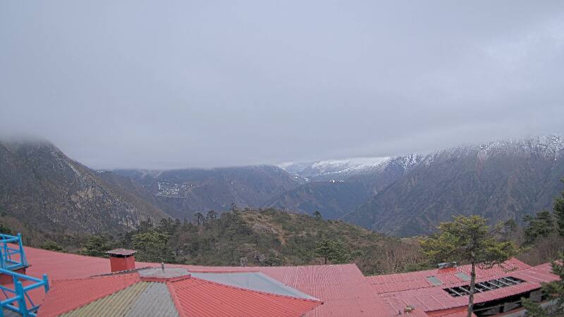
Webcams near Changtse
History around Changtse
Towns near Changtse
- Khā̃dbāri̇̄78 km away