 See it in 3D
Facts
- What it is
- Mountain
- Height above sea level
- 8,383 m (27,503 ft)
- Prominence
- 86 m (282 ft)
- Isolation
- 0.6 km to higher ground
- Parent peak
- Lhotse
- First ascent
- May 12, 1970
- Coordinates
- 27.958°N 86.943°E
- Source
- Wikidata, CC0
Peaks near Lhotse Shar
- Lhotse8,516 m · 1.1 km awayOn the map
- Lhotse Middle8,410 m · 2.8 km awayOn the map
- Hillary Peak7,681 m · 3.3 km awayOn the map
- South Summit8,749 m · 3.4 km awayOn the map
- Mahalangur Himal8,848 m · 3.8 km awayOn the map
- Mount Everest8,849 m · 3.8 km awayOn the map
- Imja Tse6,189 m · 4.7 km awayOn the map
- Nuptse7,861 m · 5.3 km awayOn the map
- Cho Polu6,735 m · 5.8 km awayOn the map
- North Col7,020 m · 6.6 km awayOn the map
Parent peak
The nearest higher peak its prominence is measured to.
- Lhotse8,516 mOn the map
Highest mountains in Nepal
- Mount Everest8,849 mOn the map
- Kanchenjunga8,586 mOn the map
- Lhotse8,516 mOn the map
- Makalu8,485 mOn the map
- Lhotse Shar8,383 mOn the map
- Cho Oyu8,188 mOn the map
- Dhaulagiri8,167 mOn the map
- Manaslu8,163 mOn the map
- Annapurna I8,091 mOn the map
- Gyachung Kang7,952 mOn the map
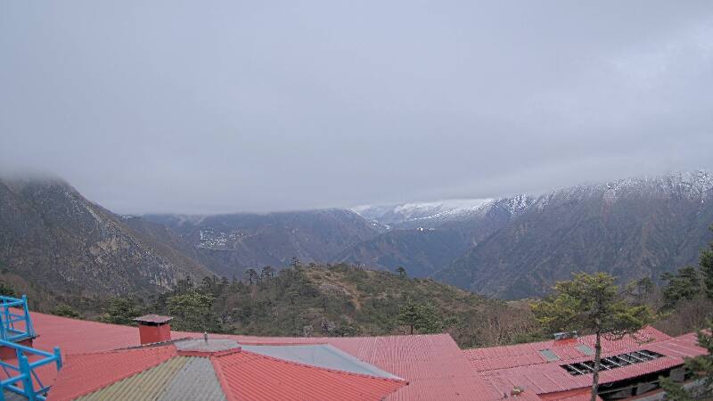
Webcams near Lhotse Shar

History around Lhotse Shar
- Twelve people are killed in an avalanche on Mount Everest2014
- 1996 Everest disaster: A sudden storm engulfs Mount Everest with several climbing teams high on the mountain, leaving eight people dead1996
- Mt Everest & Border Regions1959
- Lionel Terray and Jean Couzy become the first people to reach the summit of Makalu, the fifth-highest mountain in the world1955
Towns near Lhotse Shar
- Khā̃dbāri̇̄70 km away