La Cumbre Peak
3 997 ft1 218 m
Montagne · Monts Santa Ynez · États-Unis
La Cumbre Peak is a 3,997-foot (1,218 m) peak in the Santa Ynez Mountains north of Santa Barbara, California and located within the Los Padres National Forest. Composed of boulders and slabs of the Matilija Sandstone amid groves of pine trees, it is the highest summit in proximity to the city.
Source : Wikipedia, CC BY-SA · Lire l’article
Au sommet · prévision pour 0:00
48 °FPlutôt dégagé · vent 2 mph du NE
 Voir en 3D
Météo au sommet : La Cumbre Peak, 3 997 ft
- 0:0048 °FNE 2 mph–
- 3:0044 °FNE 3 mph–
- 6:0038 °FN 3 mph–
- 9:0051 °FNO 4 mph–
- 12:0058 °FS 7 mph–
- 15:0058 °FS 6 mph–
- 18:0051 °FS 2 mph–
- 21:0047 °FNE 2 mph–
| Jour | Ciel | Max. / min. | Pluie | Vent jusqu’à |
|---|---|---|---|---|
| mer. 28 oct. | Dégagé | 59 °F / 37 °F | – | 7 mph |
| jeu. 29 oct. | Partiellement nuageux | 58 °F / 43 °F | 0,01 po | 9 mph |
| ven. 30 oct. | Pluie | 55 °F / 44 °F | 0,09 po | 12 mph |
| sam. 31 oct. | Pluie | 53 °F / 45 °F | 0,07 po | 3 mph |
| dim. 1 nov. | Dégagé | 58 °F / 41 °F | – | 6 mph |
| lun. 2 nov. | Dégagé | 61 °F / 37 °F | – | 6 mph |
| mar. 3 nov. | Dégagé | 68 °F / 44 °F | – | 3 mph |
Prévisions de MET Norway (CC BY 4.0), mises à jour à 22:21 UTC−7. Heures locales.
Fiche technique
- Type
- Montagne
- Altitude
- 3 997 ft (1 218 m)
- Proéminence
- 1 010 ft (308 m)
- Massif
- Monts Santa Ynez
- Pays
- États-Unis
- Coordonnées
- 34.495°N 119.714°W
- Source
- Wikidata, CC0
La Cumbre Peak
Mountain in California, United States
La Cumbre Peak is a 3,997-foot (1,218 m) peak in the Santa Ynez Mountains north of Santa Barbara, California and located within the Los Padres National Forest. Composed of boulders and slabs of the Matilija Sandstone amid groves of pine trees, it is the highest summit in proximity to the city. Adjacent to La Cumbre are Arlington Peak and Cathedral Peak.
Source : Wikipedia, CC BY-SA · Lire l’article
Sommets près de La Cumbre Peak
- Arlington Peak3 258 ft · à 1,4 kmSur la carte
- Little Pine Mountain4 462 ft · à 12 kmSur la carte
- Madulce Peak6 539 ft · à 25 kmSur la carte
- Figueroa Mountain4 534 ft · à 37 kmSur la carte
- Devils Peak2 429 ft · à 52 kmSur la carte
- Hines Peak6 716 ft · à 59 kmSur la carte
- Big Pine MountainMontagne · à 23 kmSur la carte
- Pine MountainColline · à 42 kmSur la carte
- Gaviota PeakMontagne · à 44 kmSur la carte
- El Montañon1 808 ft · à 55 kmSur la carte
Plus hautes montagnes : États-Unis
- Denali20 308 ftSur la carte
- mont Saint-Élie18 009 ftSur la carte
- mont Foraker17 402 ftSur la carte
- mont Bona16 535 ftSur la carte
- mont Blackburn16 390 ftSur la carte
- mont Sanford16 237 ftSur la carte
- mont Vancouver15 787 ftSur la carte
- mont Churchill15 636 ftSur la carte
- mont Fairweather15 325 ftSur la carte
- mont Hubbard14 951 ftSur la carte
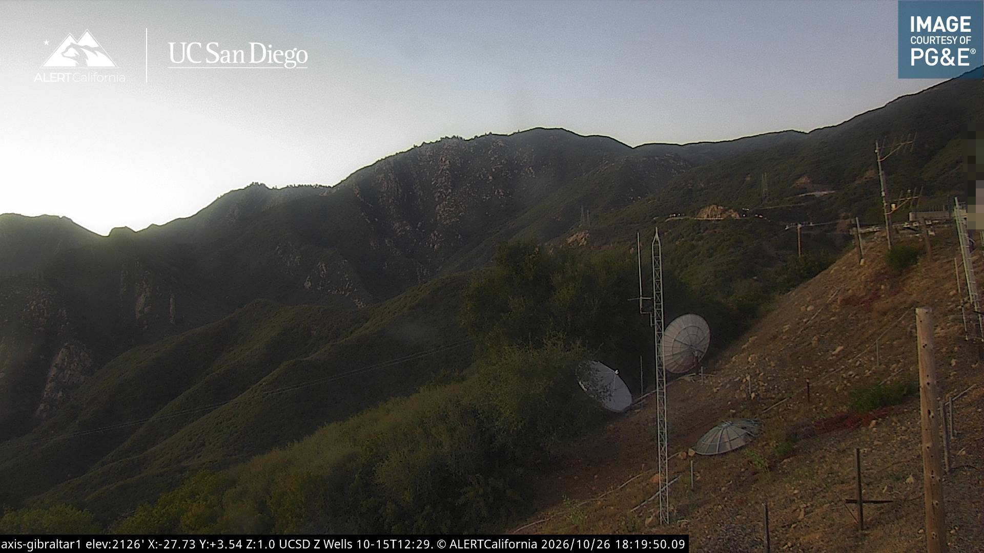
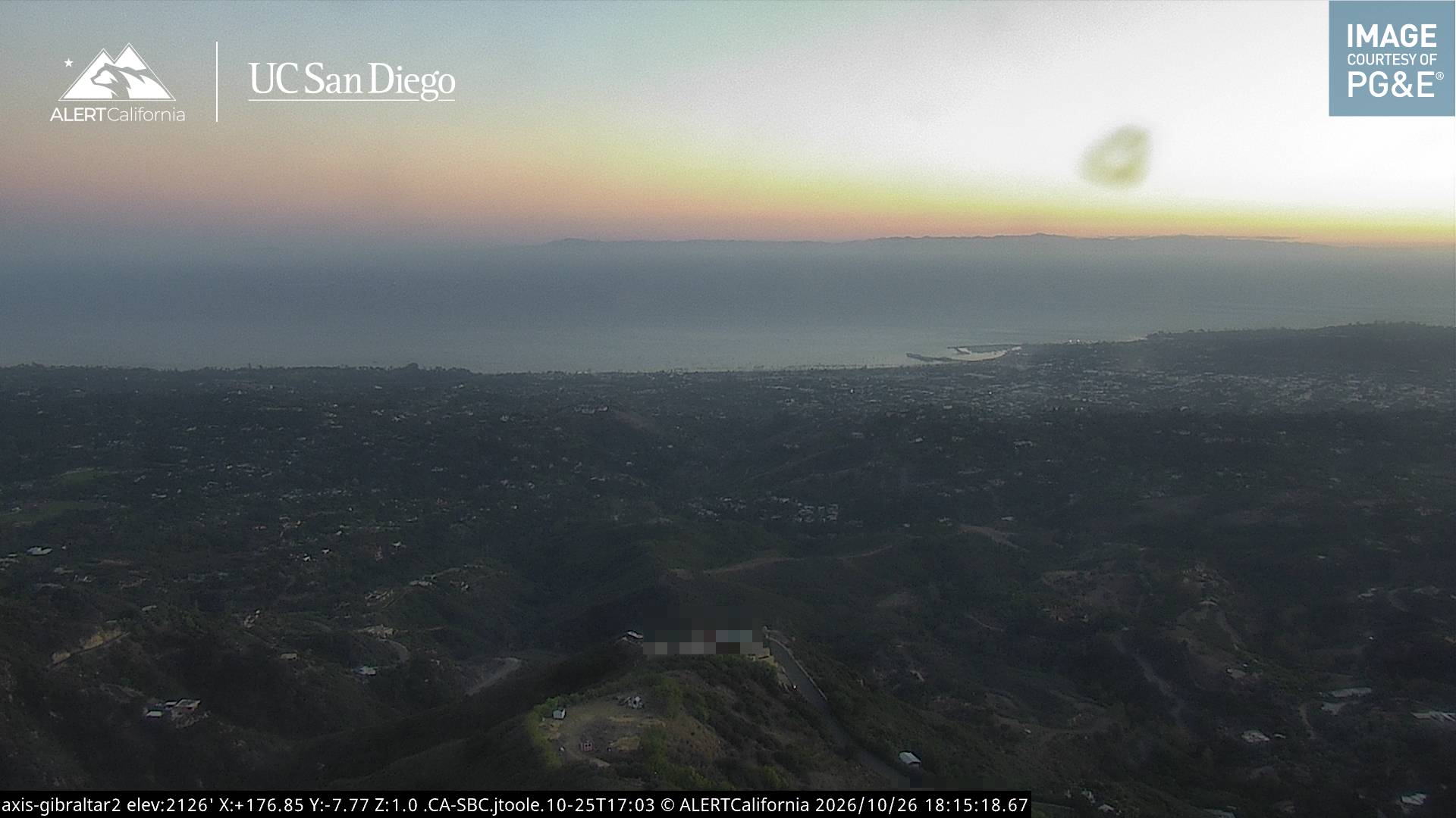
Webcams près de La Cumbre Peak


Histoire autour de La Cumbre Peak
- Isla Vista attacks: Elliot Rodger kills 6 people and injures 14 more before committing suicide in his car in Isla Vista, California2014
- Jesusita Fire2009
- Tea Fire2008
- Goleta postal facility shootings2006
- 2001 Isla Vista massacre2001
- The 2018 Southern California landslides occur, killing at least 13 people, and injuring 25. The main damage occurs in Montecito, California2018
- Rey Fire2016
- Painted Cave Fire1990
Villes près de La Cumbre Peak
- Santa Barbaraà 8,4 km
- Goletaà 12 km
- Isla Vistaà 16 km
- Carpinteriaà 23 km
- Ojaià 43 km
- Venturaà 46 km