La Cumbre Peak
3,997 ft1,218 m
山 · サンタイネス山脈 · アメリカ合衆国
La Cumbre Peak is a 3,997-foot (1,218 m) peak in the Santa Ynez Mountains north of Santa Barbara, California and located within the Los Padres National Forest. Composed of boulders and slabs of the Matilija Sandstone amid groves of pine trees, it is the highest summit in proximity to the city.
出典: Wikipedia、CC BY-SA · 記事を読む
山頂 · 19:00 の予報
50 °F晴れ時々曇り · 北東の風 4 mph
 3D で見る
La Cumbre Peak 山頂の天気(3,997 ft)
- 19:0050 °F北東 4 mph–
- 22:0049 °F北東 3 mph–
- 1:0044 °F北東 3 mph–
- 4:0040 °F北 3 mph–
- 7:0038 °F北 4 mph–
- 10:0055 °F南 3 mph–
- 13:0059 °F南 7 mph–
- 16:0057 °F南 6 mph–
| 日付 | 天気 | 最高 / 最低 | 雨 | 最大風速 |
|---|---|---|---|---|
| 10月28日(水) | 晴れ | 60 °F / 38 °F | – | 7 mph |
| 10月29日(木) | 曇り | 58 °F / 45 °F | 0.03 インチ | 11 mph |
| 10月30日(金) | 雨 | 55 °F / 44 °F | 0.11 インチ | 7 mph |
| 10月31日(土) | 雨 | 53 °F / 45 °F | 0.07 インチ | 3 mph |
| 11月1日(日) | 快晴 | 58 °F / 41 °F | – | 6 mph |
| 11月2日(月) | 快晴 | 61 °F / 37 °F | – | 6 mph |
| 11月3日(火) | 快晴 | 68 °F / 44 °F | – | 3 mph |
MET Norway(CC BY 4.0)による予報。16:18 GMT-7 更新。時刻は現地時間です。
基本データ
- 種類
- 山
- 標高
- 3,997 ft (1,218 m)
- プロミネンス
- 1,010 ft (308 m)
- 山脈
- サンタイネス山脈
- 座標
- 34.495°N 119.714°W
La Cumbre Peak
Mountain in California, United States
La Cumbre Peak is a 3,997-foot (1,218 m) peak in the Santa Ynez Mountains north of Santa Barbara, California and located within the Los Padres National Forest. Composed of boulders and slabs of the Matilija Sandstone amid groves of pine trees, it is the highest summit in proximity to the city. Adjacent to La Cumbre are Arlington Peak and Cathedral Peak.
出典: Wikipedia、CC BY-SA · 記事を読む
La Cumbre Peak周辺の山
- Arlington Peak3,258 ft · 1.4 km先地図上
- Little Pine Mountain4,462 ft · 12 km先地図上
- Madulce Peak6,539 ft · 25 km先地図上
- Figueroa Mountain4,534 ft · 37 km先地図上
- Devils Peak2,429 ft · 52 km先地図上
- Hines Peak6,716 ft · 59 km先地図上
- Big Pine Mountain山 · 23 km先地図上
- Pine Mountain丘 · 42 km先地図上
- Gaviota Peak山 · 44 km先地図上
- El Montañon1,808 ft · 55 km先地図上
アメリカ合衆国の高い山
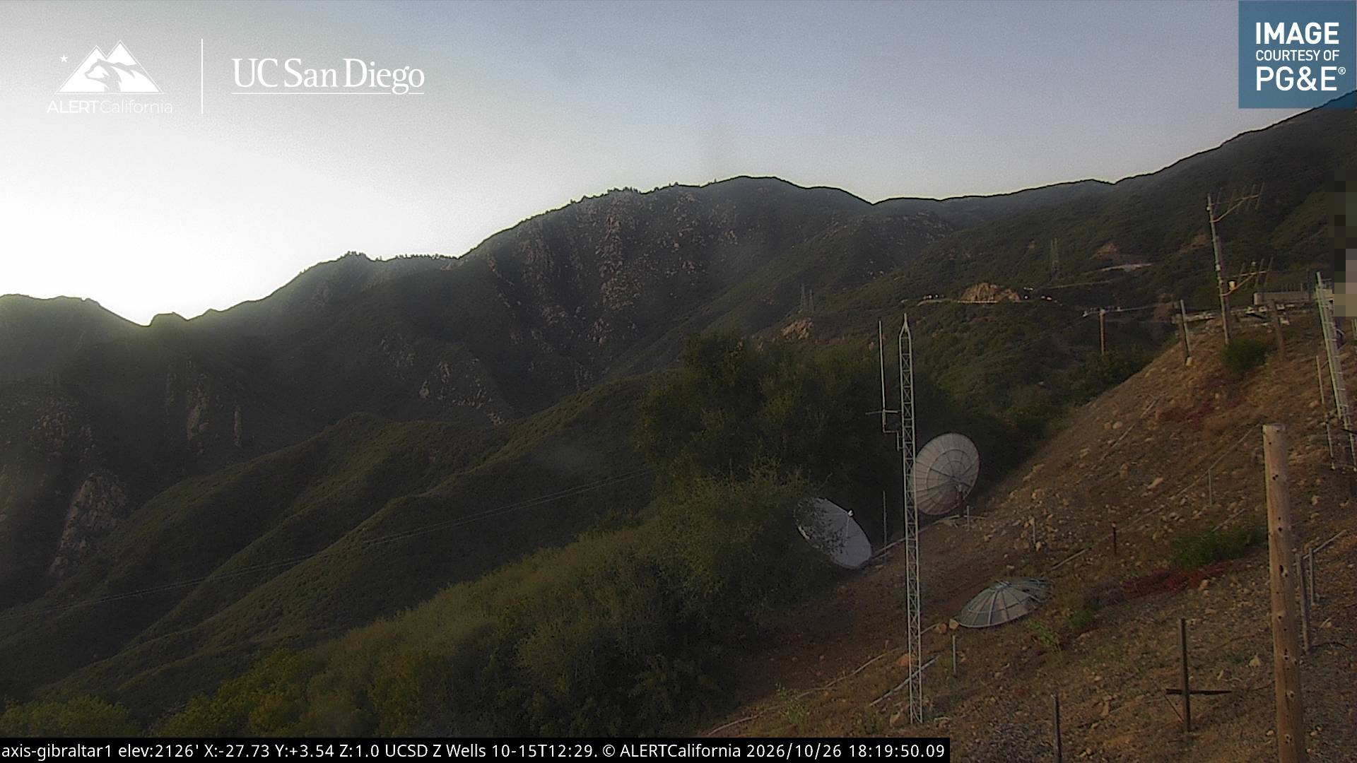
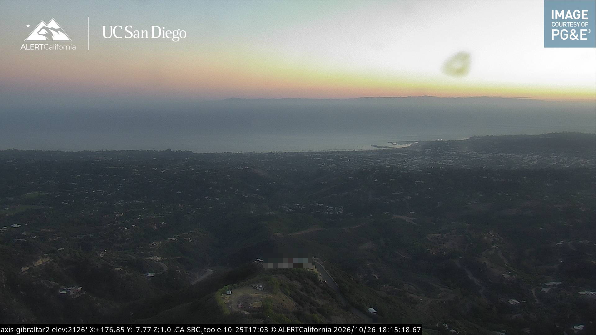
La Cumbre Peak周辺のライブカメラ


La Cumbre Peak周辺の歴史
- Isla Vista attacks: Elliot Rodger kills 6 people and injures 14 more before committing suicide in his car in Isla Vista, California2014
- Jesusita Fire2009
- Tea Fire2008
- Goleta postal facility shootings2006
- 2001 Isla Vista massacre2001
- The 2018 Southern California landslides occur, killing at least 13 people, and injuring 25. The main damage occurs in Montecito, California2018
- Rey Fire2016
- Painted Cave Fire1990