mont Olympe
561 ft171 m
Colline · États-Unis
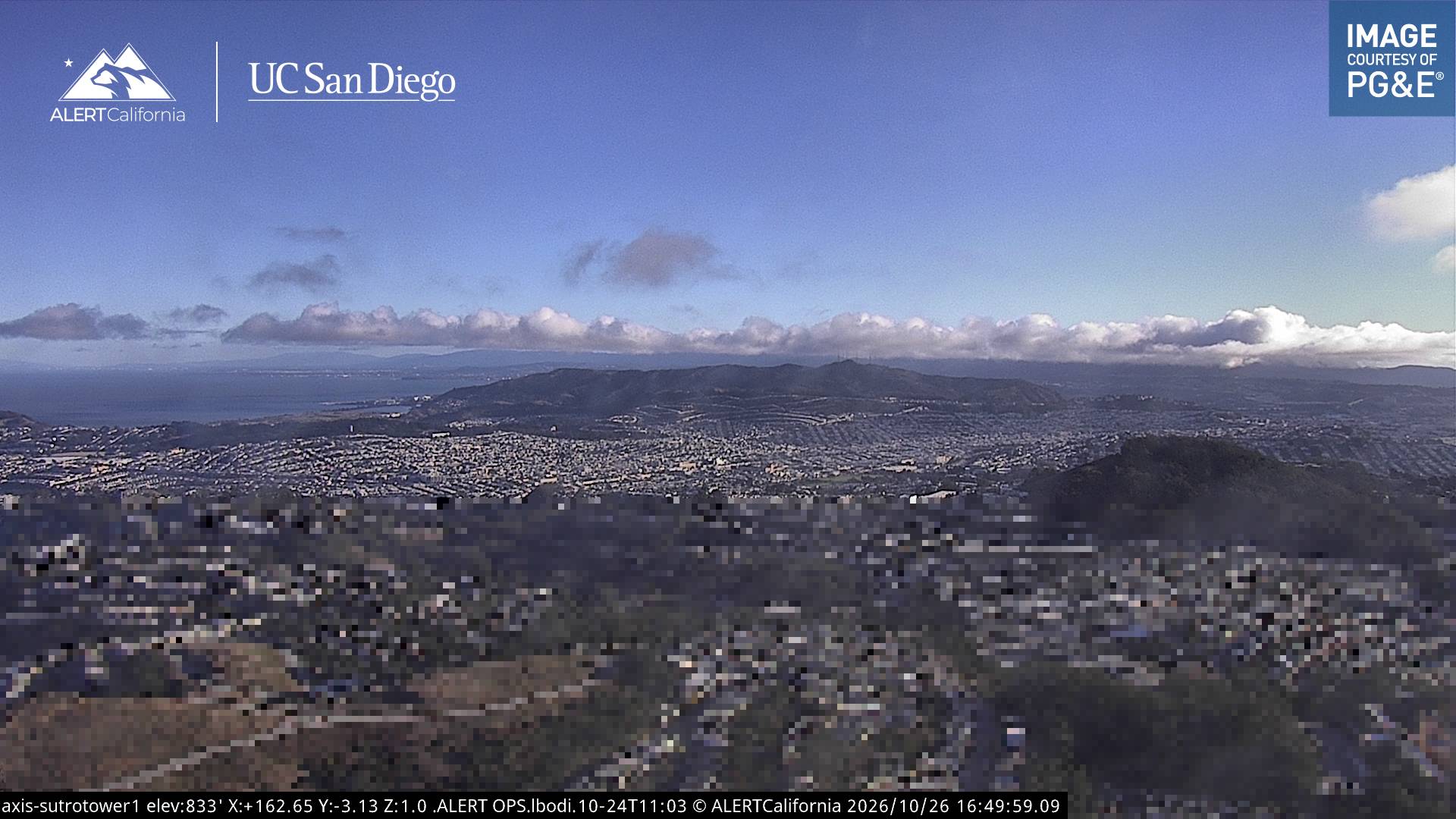
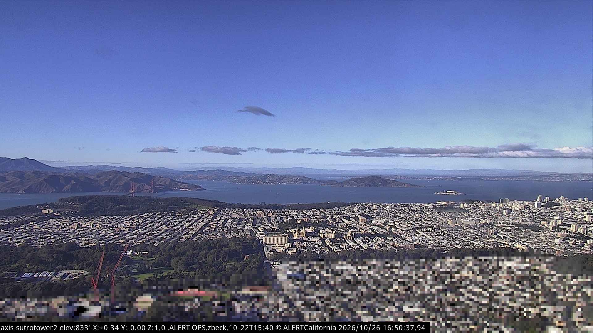
Mount Olympus is a hill located on Upper Terrace in the Buena Vista neighborhood of San Francisco. It was once considered to mark the geographical center of the city, and was topped off by a statue given by Adolph Sutro, the Triumph of Light, now lost.
Source : Wikipedia, CC BY-SA · Lire l’article
Au sommet · prévision pour 0:00
54 °FPartiellement nuageux · vent 4 mph du SE
 Voir en 3D
Météo au sommet : mont Olympe, 561 ft
- 0:0054 °FSE 4 mph–
- 3:0053 °FSE 6 mph–
- 6:0052 °FNE 4 mph–
- 9:0053 °FNE 4 mph–
- 12:0062 °FSE 3 mph–
- 15:0065 °FSO 6 mph–
- 18:0059 °FSO 9 mph–
- 21:0058 °FS 5 mph–
| Jour | Ciel | Max. / min. | Pluie | Vent jusqu’à |
|---|---|---|---|---|
| Aujourd’hui | Nuageux | 65 °F / 51 °F | – | 9 mph |
| ven. 30 oct. | Dégagé | 62 °F / 52 °F | – | 13 mph |
| sam. 31 oct. | Nuageux | 60 °F / 55 °F | – | 7 mph |
| dim. 1 nov. | Dégagé | 62 °F / 53 °F | – | 9 mph |
| lun. 2 nov. | Plutôt dégagé | 62 °F / 52 °F | – | 10 mph |
| mar. 3 nov. | Partiellement nuageux | 71 °F / 53 °F | – | 5 mph |
| mer. 4 nov. | Plutôt dégagé | 63 °F / 52 °F | – | 6 mph |
Prévisions de MET Norway (CC BY 4.0), mises à jour à 16:19 UTC−7. Heures locales.
Fiche technique
- Type
- Colline
- Altitude
- 561 ft (171 m)
- Pays
- États-Unis
- Coordonnées
- 37.763°N 122.446°W
- Source
- Wikidata, CC0
Mount Olympus (San Francisco)
Hill in San Francisco, California, US
Mount Olympus is a hill located on Upper Terrace in the Buena Vista neighborhood of San Francisco. It was once considered to mark the geographical center of the city, and was topped off by a statue given by Adolph Sutro, the Triumph of Light, now lost. Only the statue's pedestal remains, and the view from the top is obstructed by trees and condominiums.
Source : Wikipedia, CC BY-SA · Lire l’article
Sommets près de mont Olympe
- mont Sutro912 ft · à 1,1 kmSur la carte
- Twin Peaks925 ft · à 1,3 kmSur la carte
- Lone Mountain421 ft · à 1,8 kmSur la carte
- Edgehill Mountain734 ft · à 2,6 kmSur la carte
- Strawberry Hill404 ft · à 2,6 kmSur la carte
- mont Davidson928 ft · à 2,9 kmSur la carte
- Nob Hill371 ft · à 4,3 kmSur la carte
- Telegraph Hill299 ft · à 5,6 kmSur la carte
- San Bruno Mountain1 319 ft · à 8,5 kmSur la carte
- Ring Mountain603 ft · à 17 kmSur la carte
Plus hautes montagnes : États-Unis
- Denali20 308 ftSur la carte
- mont Saint-Élie18 009 ftSur la carte
- mont Foraker17 402 ftSur la carte
- mont Bona16 535 ftSur la carte
- mont Blackburn16 390 ftSur la carte
- mont Sanford16 237 ftSur la carte
- mont Vancouver15 787 ftSur la carte
- mont Churchill15 636 ftSur la carte
- mont Fairweather15 325 ftSur la carte
- mont Hubbard14 951 ftSur la carte
Webcams près de mont Olympe
Histoire autour de mont Olympe
- Earthquake — California: San Francisco1906
- Treaty of San Francisco1951
- The United Nations Charter is signed in San Francisco1945
- ANZUS1951
- Asiana Airlines Flight 2142013
- Speaker Pelosi's husband Paul is attacked during an early morning break-in at the couple's San Francisco residence2022
- YouTube headquarters shooting2018
- UPS shooting in San Francisco2017
Villes près de mont Olympe
- San Franciscoà 2,7 km
- Daly Cityà 6,5 km
- Bayview-Hunters Pointà 6,9 km
- Colmaà 9,6 km
- Brisbaneà 11 km
- Sausalitoà 11 km