Mount Olympus
561 ft171 m
Hill · United States
Mount Olympus is a hill located on Upper Terrace in the Buena Vista neighborhood of San Francisco. It was once considered to mark the geographical center of the city, and was topped off by a statue given by Adolph Sutro, the Triumph of Light, now lost.
From Wikipedia, CC BY-SA · Read the article
At the summit · forecast for 5:00 AM
52 °FFog · wind 4 mph from the NE
 See it in 3D
Weather at the summit of Mount Olympus, 561 ft
- 5:00 AM52 °FNE 4 mph–
- 8:00 AM51 °FN 4 mph–
- 11:00 AM57 °FNW 2 mph–
- 2:00 PM63 °FW 8 mph–
- 5:00 PM62 °FW 11 mph–
- 8:00 PM58 °FW 8 mph–
- 11:00 PM55 °FSE 4 mph–
- 2:00 AM55 °FSE 5 mph–
| Day | Sky | High / low | Rain | Wind up to |
|---|---|---|---|---|
| Today | Clear | 63 °F / 51 °F | – | 11 mph |
| Thu, Oct 29 | Cloudy | 64 °F / 53 °F | – | 11 mph |
| Fri, Oct 30 | Clear | 62 °F / 53 °F | – | 13 mph |
| Sat, Oct 31 | Partly cloudy | 60 °F / 52 °F | – | 10 mph |
| Sun, Nov 1 | Clear | 63 °F / 51 °F | – | 6 mph |
| Mon, Nov 2 | Clear | 65 °F / 50 °F | – | 7 mph |
| Tue, Nov 3 | Partly cloudy | 74 °F / 52 °F | – | 6 mph |
Forecast by MET Norway (CC BY 4.0), updated 02:22 AM PDT. Times are local.
Facts
- What it is
- Hill
- Height above sea level
- 561 ft (171 m)
- Country
- United States
- Coordinates
- 37.763°N 122.446°W
- Source
- Wikidata, CC0
Mount Olympus (San Francisco)
Hill in San Francisco, California, US
Mount Olympus is a hill located on Upper Terrace in the Buena Vista neighborhood of San Francisco. It was once considered to mark the geographical center of the city, and was topped off by a statue given by Adolph Sutro, the Triumph of Light, now lost. Only the statue's pedestal remains, and the view from the top is obstructed by trees and condominiums.
From Wikipedia, CC BY-SA · Read the article
Peaks near Mount Olympus
- Mount Sutro912 ft · 1.1 km awayOn the map
- Twin Peaks925 ft · 1.3 km awayOn the map
- Lone Mountain421 ft · 1.8 km awayOn the map
- Edgehill Mountain734 ft · 2.6 km awayOn the map
- Strawberry Hill404 ft · 2.6 km awayOn the map
- Mount Davidson928 ft · 2.9 km awayOn the map
- Nob Hill371 ft · 4.3 km awayOn the map
- Telegraph Hill299 ft · 5.6 km awayOn the map
- San Bruno Mountain1,319 ft · 8.5 km awayOn the map
- Ring Mountain603 ft · 17 km awayOn the map
Highest mountains in United States
- Denali20,308 ftOn the map
- Mount Saint Elias18,009 ftOn the map
- Mount Foraker17,402 ftOn the map
- Mount Bona16,535 ftOn the map
- Mount Blackburn16,390 ftOn the map
- Mount Sanford16,237 ftOn the map
- Mount Vancouver15,787 ftOn the map
- Mount Churchill15,636 ftOn the map
- Mount Fairweather15,325 ftOn the map
- Mount Hubbard14,951 ftOn the map
Webcams near Mount Olympus
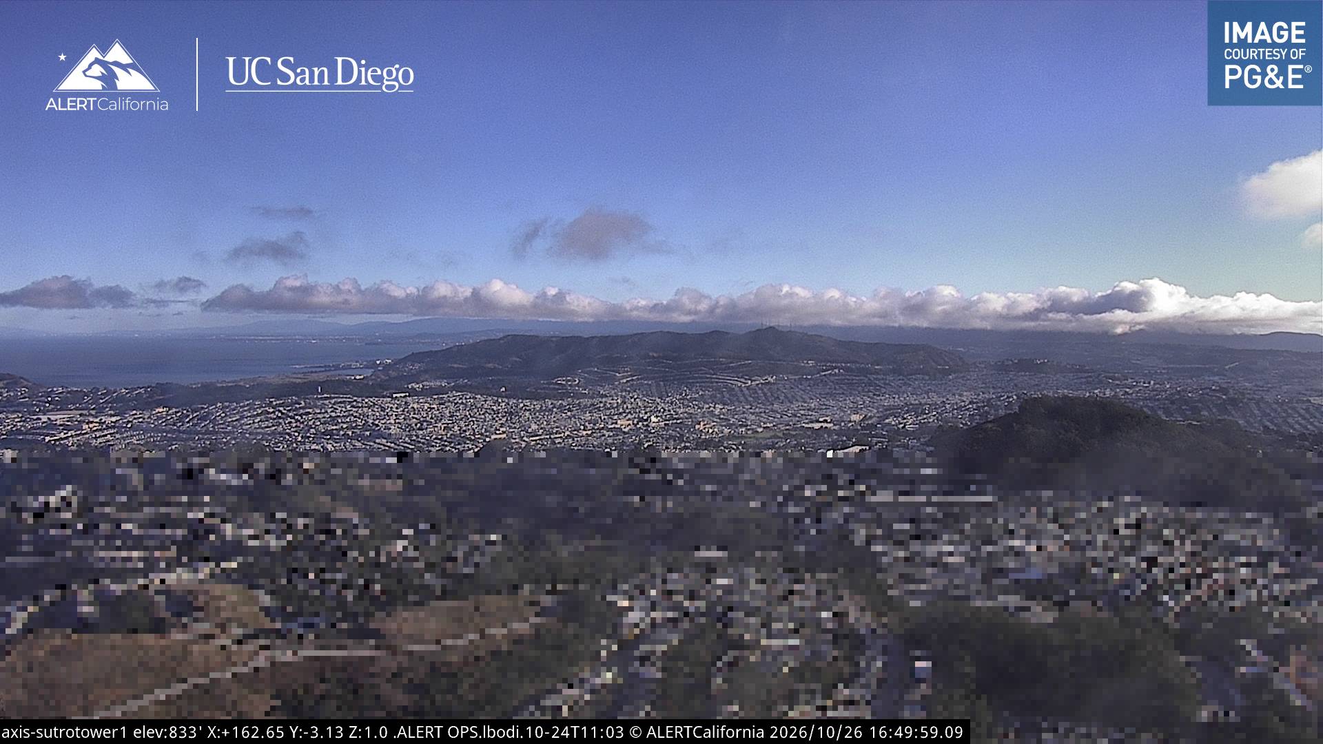
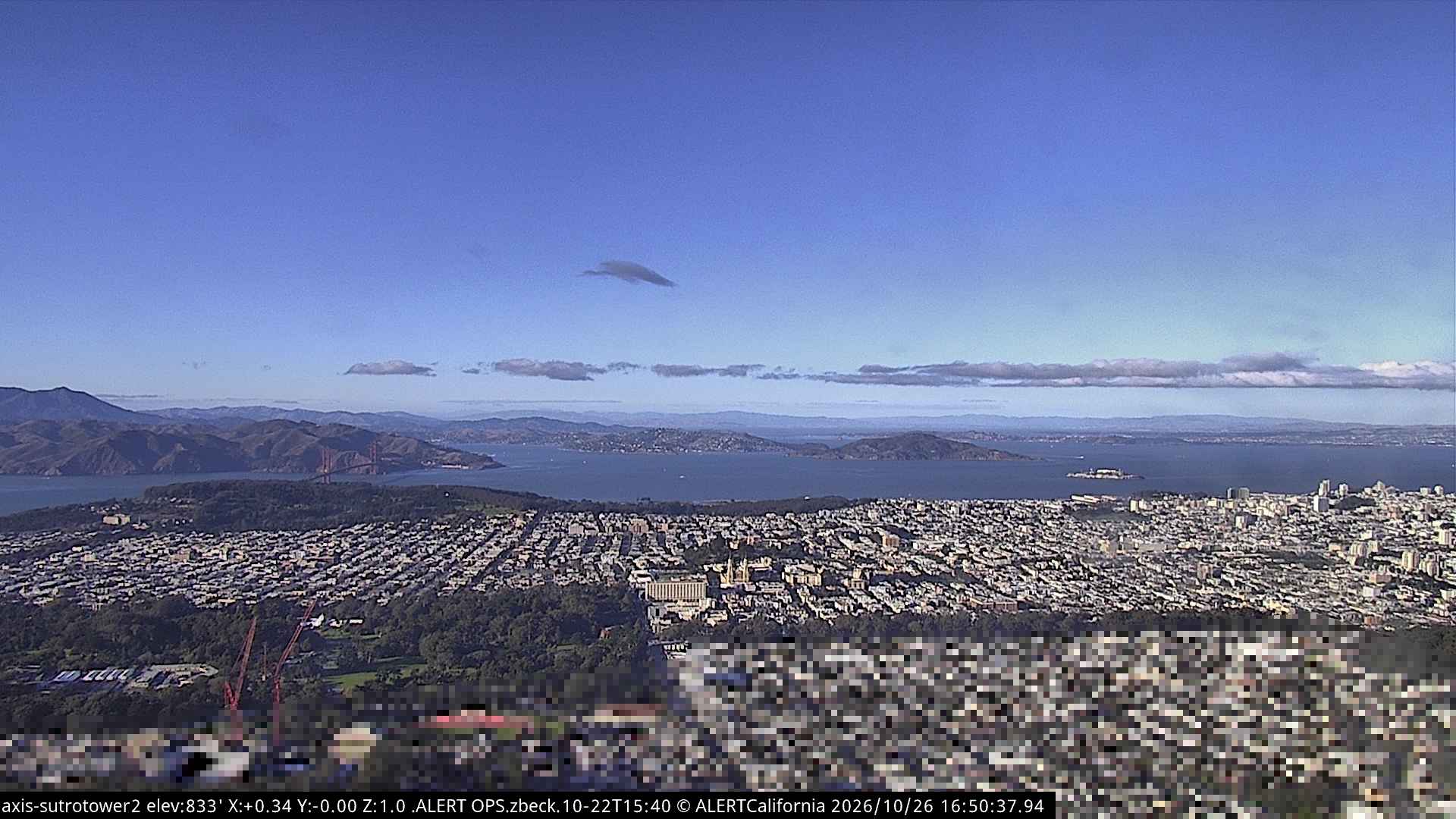
History around Mount Olympus
- Earthquake — California: San Francisco1906
- Treaty of San Francisco1951
- The United Nations Charter is signed in San Francisco1945
- ANZUS1951
- Asiana Airlines Flight 2142013
- Speaker Pelosi's husband Paul is attacked during an early morning break-in at the couple's San Francisco residence2022
- YouTube headquarters shooting2018
- UPS shooting in San Francisco2017
Towns near Mount Olympus
- San Francisco2.7 km away
- Daly City6.5 km away
- Bayview-Hunters Point6.9 km away
- Colma9.6 km away
- Brisbane11 km away
- Sausalito11 km away