Shadow Mountains
Montagne
The Shadow Mountains are a mountain range in western San Bernardino County, California, United States. The southeastern edge of the range is 4 miles northwest of Adelanto and 6 miles west of the Mojave River; the northern part of the range is 14 miles north northwest of Adelanto.
Source : Wikipedia, CC BY-SA · Lire l’article
Au sommet · prévision pour 4:00
11 °CPartiellement nuageux · vent 5 km/h du S
Prévisions météo à Shadow Mountains
- 4:0011 °CS 5 km/h–
- 7:009 °CSO 4 km/h–
- 10:0016 °CE 4 km/h–
- 13:0021 °CNE 6 km/h–
- 16:0022 °CS 21 km/h–
- 19:0018 °CO 14 km/h–
- 22:0014 °CO 18 km/h–
- 1:0012 °CO 13 km/h–
| Jour | Ciel | Max. / min. | Pluie | Vent jusqu’à |
|---|---|---|---|---|
| Aujourd’hui | Dégagé | 22 °C / 9 °C | – | 22 km/h |
| ven. 30 oct. | Plutôt dégagé | 20 °C / 11 °C | – | 26 km/h |
| sam. 31 oct. | Nuageux | 15 °C / 8 °C | 4,2 mm | 12 km/h |
| dim. 1 nov. | Nuageux | 14 °C / 8 °C | 3,9 mm | 31 km/h |
| lun. 2 nov. | Dégagé | 16 °C / 6 °C | – | 8 km/h |
| mar. 3 nov. | Plutôt dégagé | 18 °C / 9 °C | – | 9 km/h |
| mer. 4 nov. | Dégagé | 19 °C / 9 °C | – | 8 km/h |
Prévisions de MET Norway (CC BY 4.0), mises à jour à 02:19 UTC−7. Heures locales.
Fiche technique
- Type
- Montagne
- Coordonnées
- 34.667°N 117.517°W
- Source
- Wikidata, CC0
Shadow Mountains (western San Bernardino County)
Mountain range in California, US
The Shadow Mountains are a mountain range in western San Bernardino County, California, United States. The southeastern edge of the range is 4 miles northwest of Adelanto and 6 miles west of the Mojave River; the northern part of the range is 14 miles north northwest of Adelanto. Although they provide a name for and are prominent in the Shadow Mountains quadrangle map, they are not labelled on it.
Source : Wikipedia, CC BY-SA · Lire l’article
Sommets près de Shadow Mountains
- Bell Mountain3 897 ft · à 29 kmSur la carte
- mont Baden-Powell9 407 ft · à 41 kmSur la carte
- Mount Burnham9 001 ft · à 42 kmSur la carte
- Mount Harwood9 556 ft · à 44 kmSur la carte
- Mount San Antonio10 069 ft · à 44 kmSur la carte
- Throop Peak9 142 ft · à 44 kmSur la carte
- Telegraph Peak8 989 ft · à 46 kmSur la carte
- Timber Mountain8 307 ft · à 47 kmSur la carte
- South Mount Hawkins7 786 ft · à 48 kmSur la carte
- Cucamonga Peak8 862 ft · à 50 kmSur la carte
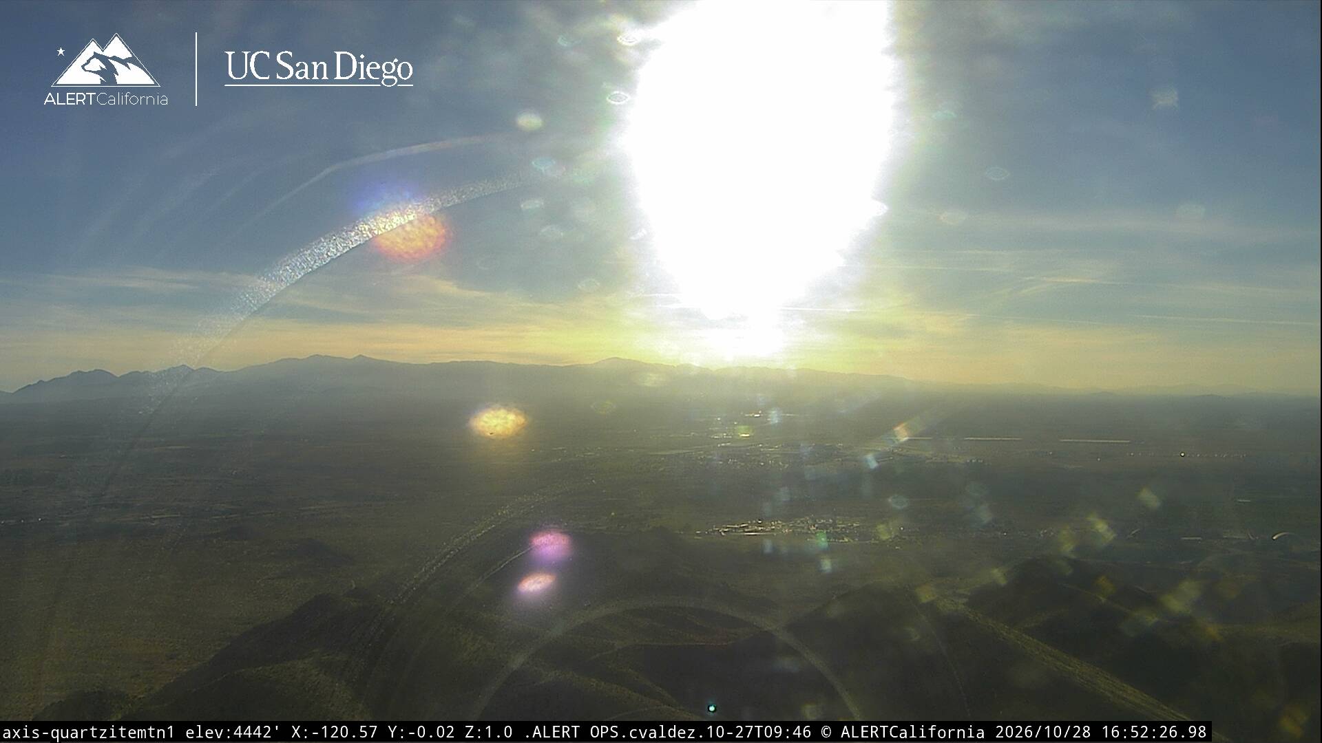
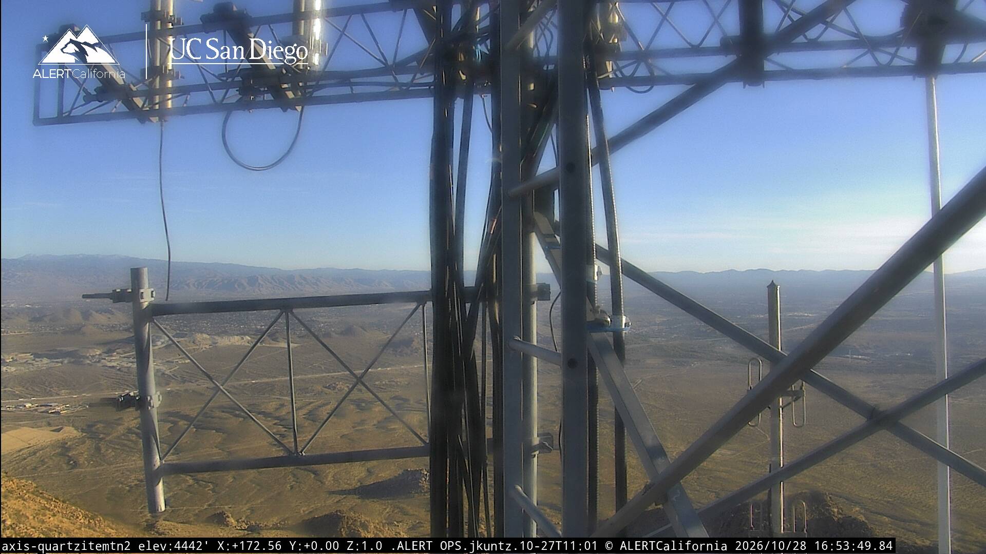
Webcams près de Shadow Mountains

Villes près de Shadow Mountains
- Adelantoà 14 km
- Victorvilleà 25 km
- Hesperiaà 33 km
- Apple Valleyà 35 km
- Barstow Heightsà 48 km
- Barstowà 52 km