Shadow Mountains
Mountain
The Shadow Mountains are a mountain range in western San Bernardino County, California, United States. The southeastern edge of the range is 4 miles northwest of Adelanto and 6 miles west of the Mojave River; the northern part of the range is 14 miles north northwest of Adelanto.
From Wikipedia, CC BY-SA · Read the article
At the summit · forecast for 3:00 AM
11 °CPartly cloudy · wind 5 km/h from the SW
Shadow Mountains weather forecast
- 3:00 AM11 °CSW 5 km/h–
- 6:00 AM10 °CS 5 km/h–
- 9:00 AM13 °CSE 4 km/h–
- 12:00 PM19 °CNE 5 km/h–
- 3:00 PM22 °CS 17 km/h–
- 6:00 PM19 °CSW 17 km/h–
- 9:00 PM15 °CW 21 km/h–
- 12:00 AM13 °CW 16 km/h–
| Day | Sky | High / low | Rain | Wind up to |
|---|---|---|---|---|
| Today | Clear | 22 °C / 9 °C | – | 22 km/h |
| Fri, Oct 30 | Mostly clear | 20 °C / 11 °C | – | 26 km/h |
| Sat, Oct 31 | Cloudy | 15 °C / 8 °C | 4.2 mm | 12 km/h |
| Sun, Nov 1 | Cloudy | 14 °C / 8 °C | 3.9 mm | 31 km/h |
| Mon, Nov 2 | Clear | 16 °C / 6 °C | – | 8 km/h |
| Tue, Nov 3 | Mostly clear | 18 °C / 9 °C | – | 9 km/h |
| Wed, Nov 4 | Clear | 19 °C / 9 °C | – | 8 km/h |
Forecast by MET Norway (CC BY 4.0), updated 02:19 AM PDT. Times are local.
Facts
- What it is
- Mountain
- Coordinates
- 34.667°N 117.517°W
- Source
- Wikidata, CC0
Shadow Mountains (western San Bernardino County)
Mountain range in California, US
The Shadow Mountains are a mountain range in western San Bernardino County, California, United States. The southeastern edge of the range is 4 miles northwest of Adelanto and 6 miles west of the Mojave River; the northern part of the range is 14 miles north northwest of Adelanto. Although they provide a name for and are prominent in the Shadow Mountains quadrangle map, they are not labelled on it.
From Wikipedia, CC BY-SA · Read the article
Peaks near Shadow Mountains
- Bell Mountain3,897 ft · 29 km awayOn the map
- Mount Baden-Powell9,407 ft · 41 km awayOn the map
- Mount Burnham9,001 ft · 42 km awayOn the map
- Mount Harwood9,556 ft · 44 km awayOn the map
- Mount San Antonio10,069 ft · 44 km awayOn the map
- Throop Peak9,142 ft · 44 km awayOn the map
- Telegraph Peak8,989 ft · 46 km awayOn the map
- Timber Mountain8,307 ft · 47 km awayOn the map
- South Mount Hawkins7,786 ft · 48 km awayOn the map
- Cucamonga Peak8,862 ft · 50 km awayOn the map
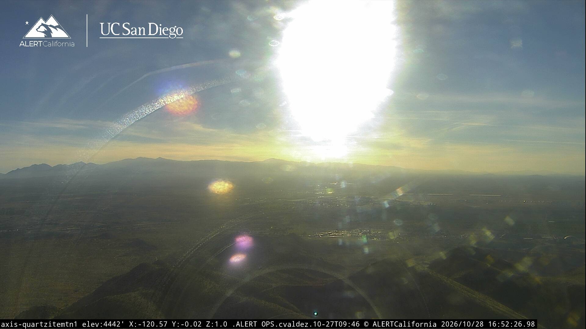
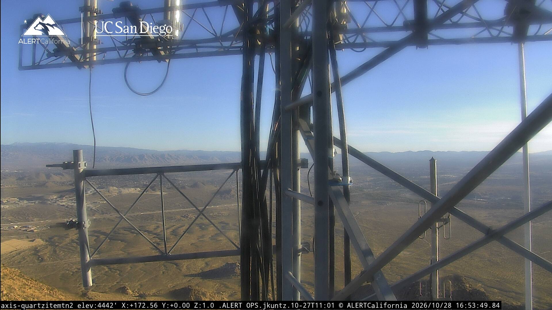
Webcams near Shadow Mountains

Towns near Shadow Mountains
- Adelanto14 km away
- Victorville25 km away
- Hesperia33 km away
- Apple Valley35 km away
- Barstow Heights48 km away
- Barstow52 km away