Sodenberg
481 m1 578 ft
Montagne · Rhön · Allemagne
Sodenberg is a 481 m high basalt cone, the remnant of an extinct volcanic crater, located in the Franconian Saale, in the Bavarian region of Lower Franconia.
Source : Wikipedia, CC BY-SA · Lire l’article
Au sommet · prévision pour 0:00
5 °CBrouillard · vent 3 km/h du E
 Voir en 3D
Météo au sommet : Sodenberg, 481 m
- 0:005 °CE 3 km/h–
- 3:006 °CN 6 km/h2,2 mm
- 6:009 °CNO 12 km/h–
- 9:009 °CNO 14 km/h–
- 12:0011 °CNO 14 km/h–
- 15:0012 °CNO 13 km/h–
- 18:007 °CO 9 km/h–
- 21:005 °CNO 8 km/h–
| Jour | Ciel | Max. / min. | Pluie | Vent jusqu’à |
|---|---|---|---|---|
| Aujourd’hui | Plutôt dégagé | 12 °C / 4 °C | 2,2 mm | 14 km/h |
| jeu. 29 oct. | Dégagé | 11 °C / 1 °C | – | 8 km/h |
| ven. 30 oct. | Dégagé | 10 °C / 1 °C | – | 7 km/h |
| sam. 31 oct. | Dégagé | 10 °C / 1 °C | – | 9 km/h |
| dim. 1 nov. | Partiellement nuageux | 9 °C / -1 °C | – | 8 km/h |
| lun. 2 nov. | Partiellement nuageux | 9 °C / 3 °C | – | 11 km/h |
| mar. 3 nov. | Nuageux | 8 °C / 1 °C | 0,1 mm | 11 km/h |
Prévisions de MET Norway (CC BY 4.0), mises à jour à 06:20 UTC+1. Heures locales.
Fiche technique
- Type
- Montagne
- Altitude
- 481 m (1 578 ft)
- Massif
- Rhön
- Pays
- Allemagne
- Coordonnées
- 50.106°N 9.806°E
- Source
- Wikidata, CC0
Sodenberg
Sodenberg is a 481 m high basalt cone, the remnant of an extinct volcanic crater, located in the Franconian Saale, in the Bavarian region of Lower Franconia. From its heights, it offers a panoramic view of the region extending from the ranges of the High Rhön to the Kreuzberg, as far as the Hassberge and the Steigerwald in the east, and the Spessart in the southwest.
Source : Wikipedia, CC BY-SA · Lire l’article
Sommets près de Sodenberg
- Dreistelzberg660 m · à 19 kmSur la carte
- Lindenstumpf527 m · à 20 kmSur la carte
- Mettermich585 m · à 20 kmSur la carte
- Stiftes568 m · à 24 kmSur la carte
- Totnansberg839 m · à 26 kmSur la carte
- Stoppelsberg571 m · à 26 kmSur la carte
- Weickertshöhe546 m · à 27 kmSur la carte
- Kleiner Nickus488 m · à 27 kmSur la carte
- Großer Nickus558 m · à 28 kmSur la carte
- Kleiner Auersberg808 m · à 28 kmSur la carte
Les plus hauts : Rhön
- Stirnberg902 mSur la carte
- Großer Auersberg809 mSur la carte
- Kleiner Auersberg808 mSur la carte
- Dalherda Kuppe801 mSur la carte
- Farnsberg786 mSur la carte
- Kleiner Guckas751 mSur la carte
- Buchschirm745 mSur la carte
- Sodenberg481 mSur la carte
Plus hautes montagnes : Allemagne
- Zugspitze2 962 mSur la carte
- Hochwanner2 744 mSur la carte
- Dreitorspitze2 682 mSur la carte
- Hochkalter2 607 mSur la carte
- Biberkopf2 599 mSur la carte
- Grosser Hundstod2 594 mSur la carte
- Hochvogel2 592 mSur la carte
- Östliche Karwendelspitze2 538 mSur la carte
- Hocheisspitze2 523 mSur la carte
- Hoher Göll2 522 mSur la carte
Webcams près de Sodenberg
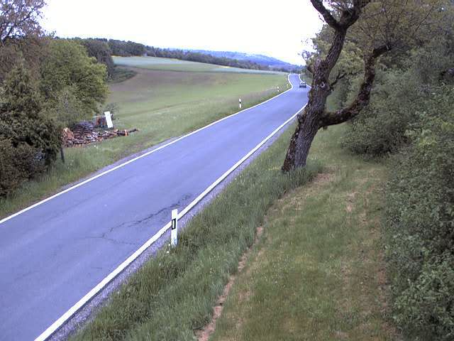
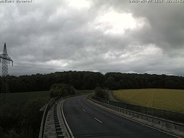

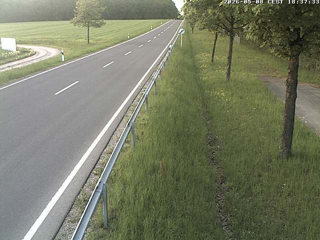
Histoire autour de Sodenberg
- Abmeierung1600
- Schmalkaldic War1546
Villes près de Sodenberg
- Karlstadtà 16 km
- Lohrà 21 km
- Bad Kissingenà 22 km
- Schweinfurtà 30 km
- Schlüchternà 34 km
- Würzburgà 36 km