德国的山
Sodenberg
481 米1,578 英尺
山 · 倫山 · 德国
Sodenberg is a 481 m high basalt cone, the remnant of an extinct volcanic crater, located in the Franconian Saale, in the Bavarian region of Lower Franconia.
来自Wikipedia,CC BY-SA · 阅读文章
山顶 · 17:00 的预报
8 °C晴 · 西北风 8 km/h
 3D 查看
Sodenberg山顶天气,481 米
- 17:008 °C西北 8 km/h–
- 20:005 °C西北 9 km/h–
- 23:003 °C西北 7 km/h–
- 2:002 °C北 6 km/h–
- 5:00-0 °C东北 4 km/h–
- 8:001 °C东北 5 km/h–
- 11:007 °C东南 4 km/h–
- 14:0010 °C东南 6 km/h–
| 日期 | 天气 | 最高 / 最低 | 雨 | 最大风速 |
|---|---|---|---|---|
| 10月29日周四 | 晴 | 10 °C / -0 °C | – | 10 km/h |
| 10月30日周五 | 阴 | 11 °C / 2 °C | – | 15 km/h |
| 10月31日周六 | 阴 | 8 °C / 1 °C | – | 10 km/h |
| 11月1日周日 | 阴 | 7 °C / 3 °C | – | 14 km/h |
| 11月2日周一 | 多云 | 6 °C / -1 °C | – | 10 km/h |
| 11月3日周二 | 阴 | 7 °C / -1 °C | – | 15 km/h |
| 11月4日周三 | 少云 | 8 °C / 2 °C | – | 15 km/h |
预报来自 MET Norway(CC BY 4.0),更新于 GMT+1 14:17。时间均为当地时间。
基本信息
Sodenberg
Sodenberg is a 481 m high basalt cone, the remnant of an extinct volcanic crater, located in the Franconian Saale, in the Bavarian region of Lower Franconia. From its heights, it offers a panoramic view of the region extending from the ranges of the High Rhön to the Kreuzberg, as far as the Hassberge and the Steigerwald in the east, and the Spessart in the southwest.
来自Wikipedia,CC BY-SA · 阅读文章
Sodenberg附近的山峰
- Dreistelzberg660 米 · 19 公里外地图上
- Lindenstumpf527 米 · 20 公里外地图上
- Mettermich585 米 · 20 公里外地图上
- Stiftes568 米 · 24 公里外地图上
- Totnansberg839 米 · 26 公里外地图上
- Stoppelsberg571 米 · 26 公里外地图上
- Weickertshöhe546 米 · 27 公里外地图上
- Kleiner Nickus488 米 · 27 公里外地图上
- Großer Nickus558 米 · 28 公里外地图上
- Kleiner Auersberg808 米 · 28 公里外地图上
倫山最高峰
- Stirnberg902 米地图上
- Großer Auersberg809 米地图上
- Kleiner Auersberg808 米地图上
- Dalherda Kuppe801 米地图上
- Farnsberg786 米地图上
- Kleiner Guckas751 米地图上
- Buchschirm745 米地图上
- Sodenberg481 米地图上
德国最高的山
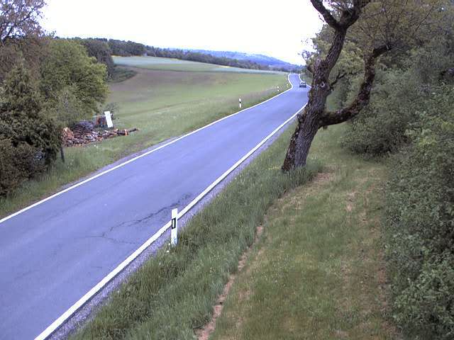
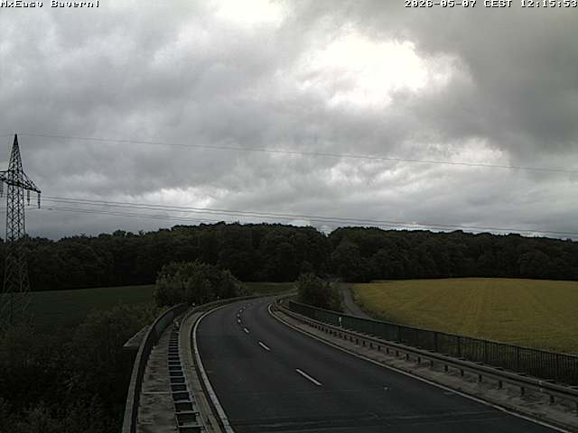
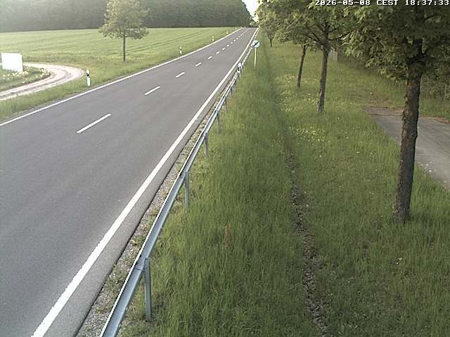
Sodenberg附近的网络摄像头

Sodenberg周边的历史
- Abmeierung1600
- Schmalkaldic War1546
Sodenberg附近的城镇
- Karlstadt16 公里外
- Lohr am Main21 公里外
- Bad Kissingen22 公里外
- Schweinfurt30 公里外
- Schlüchtern34 公里外
- Würzburg36 公里外