Streckelsberg
58 m190 ft
Montagne · Allemagne
The Streckelsberg is an approximately 58-metre high coastal cliff on the island of Usedom in North Germany. After the Golm and the Kückelsberg, the Streckelsberg is the third highest elevation on the island.
Source : Wikipedia, CC BY-SA · Lire l’article
Au sommet · prévision pour 8:00
9 °CNuageux · vent 22 km/h du S
 Voir en 3D
Météo au sommet : Streckelsberg, 58 m
- 8:009 °CS 22 km/h–
- 11:009 °CS 22 km/h–
- 14:0010 °CS 22 km/h–
- 17:0011 °CS 23 km/h–
- 20:0010 °CS 17 km/h–
- 23:0010 °CS 19 km/h–
- 2:009 °CS 19 km/h–
- 5:009 °CS 16 km/h–
| Jour | Ciel | Max. / min. | Pluie | Vent jusqu’à |
|---|---|---|---|---|
| Aujourd’hui | Nuageux | 11 °C / 9 °C | – | 23 km/h |
| mer. 28 oct. | Partiellement nuageux | 13 °C / 9 °C | 0,1 mm | 20 km/h |
| jeu. 29 oct. | Nuageux | 11 °C / 8 °C | – | 15 km/h |
| ven. 30 oct. | Nuageux | 12 °C / 9 °C | – | 12 km/h |
| sam. 31 oct. | Nuageux | 11 °C / 10 °C | – | 11 km/h |
| dim. 1 nov. | Nuageux | 11 °C / 9 °C | – | 15 km/h |
| lun. 2 nov. | Nuageux | 11 °C / 9 °C | – | 21 km/h |
Prévisions de MET Norway (CC BY 4.0), mises à jour à 06:30 UTC+1. Heures locales.
Fiche technique
- Type
- Montagne
- Altitude
- 58 m (190 ft)
- Pays
- Allemagne
- Coordonnées
- 54.052°N 14.014°E
- Source
- Wikidata, CC0
Streckelsberg
The Streckelsberg is an approximately 58-metre high coastal cliff on the island of Usedom in North Germany. After the Golm and the Kückelsberg, the Streckelsberg is the third highest elevation on the island. The Streckelsberg is located half a kilometre southeast of the former fishing village and present-day seaside resort of Koserow directly on the Baltic Sea shore.
Source : Wikipedia, CC BY-SA · Lire l’article
Sommets près de Streckelsberg
- Golm69 m · à 22 kmSur la carte
- Rugard91 m · à 55 kmSur la carte
- Bauerberg23 m · à 14 kmSur la carte
- Zieseberg49 m · à 17 kmSur la carte
- Zirowberg58 m · à 18 kmSur la carte
- Mühlberg24 m · à 23 kmSur la carte
- Hoher Berg (Wusterhusen)48 m · à 26 kmSur la carte
- Karnickelberg26 m · à 29 kmSur la carte
- Hoher Zwerg43 m · à 29 kmSur la carte
- Mühlenberg (Brünzow)23 m · à 29 kmSur la carte
Plus hautes montagnes : Allemagne
- Zugspitze2 962 mSur la carte
- Hochwanner2 744 mSur la carte
- Dreitorspitze2 682 mSur la carte
- Hochkalter2 607 mSur la carte
- Biberkopf2 599 mSur la carte
- Grosser Hundstod2 594 mSur la carte
- Hochvogel2 592 mSur la carte
- Östliche Karwendelspitze2 538 mSur la carte
- Hocheisspitze2 523 mSur la carte
- Hoher Göll2 522 mSur la carte
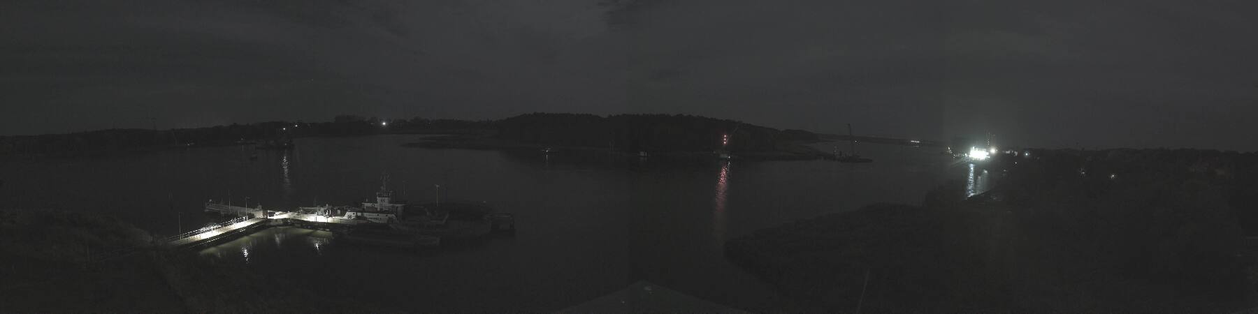
Webcams près de Streckelsberg



Histoire autour de Streckelsberg
Villes près de Streckelsberg
- Świnoujścieà 22 km
- Universitäts- und Hansestadt Greifswaldà 40 km
- Policeà 67 km
- Stralsundà 67 km
- Neubrandenburgà 74 km
- Goleniówà 76 km