德国的山
Streckelsberg
58 米190 英尺
山 · 德国
The Streckelsberg is an approximately 58-metre high coastal cliff on the island of Usedom in North Germany. After the Golm and the Kückelsberg, the Streckelsberg is the third highest elevation on the island.
来自Wikipedia,CC BY-SA · 阅读文章
山顶 · 4:00 的预报
9 °C阴 · 南风 17 km/h
 3D 查看
Streckelsberg山顶天气,58 米
- 4:009 °C南 17 km/h–
- 7:009 °C南 22 km/h–
- 10:009 °C南 22 km/h–
- 13:0010 °C南 23 km/h–
- 16:0011 °C南 21 km/h–
- 19:0010 °C南 18 km/h–
- 22:0010 °C南 20 km/h–
- 1:009 °C南 21 km/h–
| 日期 | 天气 | 最高 / 最低 | 雨 | 最大风速 |
|---|---|---|---|---|
| 今天 | 阴 | 11 °C / 9 °C | – | 23 km/h |
| 10月28日周三 | 多云 | 13 °C / 8 °C | 0.2 mm | 21 km/h |
| 10月29日周四 | 阴 | 12 °C / 7 °C | – | 13 km/h |
| 10月30日周五 | 阴 | 12 °C / 9 °C | – | 12 km/h |
| 10月31日周六 | 阴 | 11 °C / 10 °C | – | 11 km/h |
| 11月1日周日 | 阴 | 11 °C / 9 °C | – | 15 km/h |
| 11月2日周一 | 阴 | 11 °C / 9 °C | – | 21 km/h |
预报来自 MET Norway(CC BY 4.0),更新于 GMT+1 02:30。时间均为当地时间。
基本信息
Streckelsberg
The Streckelsberg is an approximately 58-metre high coastal cliff on the island of Usedom in North Germany. After the Golm and the Kückelsberg, the Streckelsberg is the third highest elevation on the island. The Streckelsberg is located half a kilometre southeast of the former fishing village and present-day seaside resort of Koserow directly on the Baltic Sea shore.
来自Wikipedia,CC BY-SA · 阅读文章
Streckelsberg附近的山峰
- Golm69 米 · 22 公里外地图上
- Rugard91 米 · 55 公里外地图上
- Bauerberg23 米 · 14 公里外地图上
- Zieseberg49 米 · 17 公里外地图上
- Zirowberg58 米 · 18 公里外地图上
- Mühlberg24 米 · 23 公里外地图上
- Hoher Berg (Wusterhusen)48 米 · 26 公里外地图上
- Karnickelberg26 米 · 29 公里外地图上
- Hoher Zwerg43 米 · 29 公里外地图上
- Mühlenberg (Brünzow)23 米 · 29 公里外地图上
德国最高的山
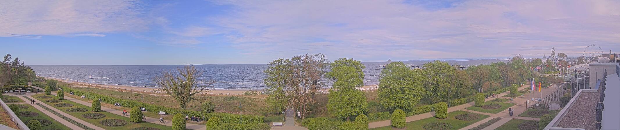
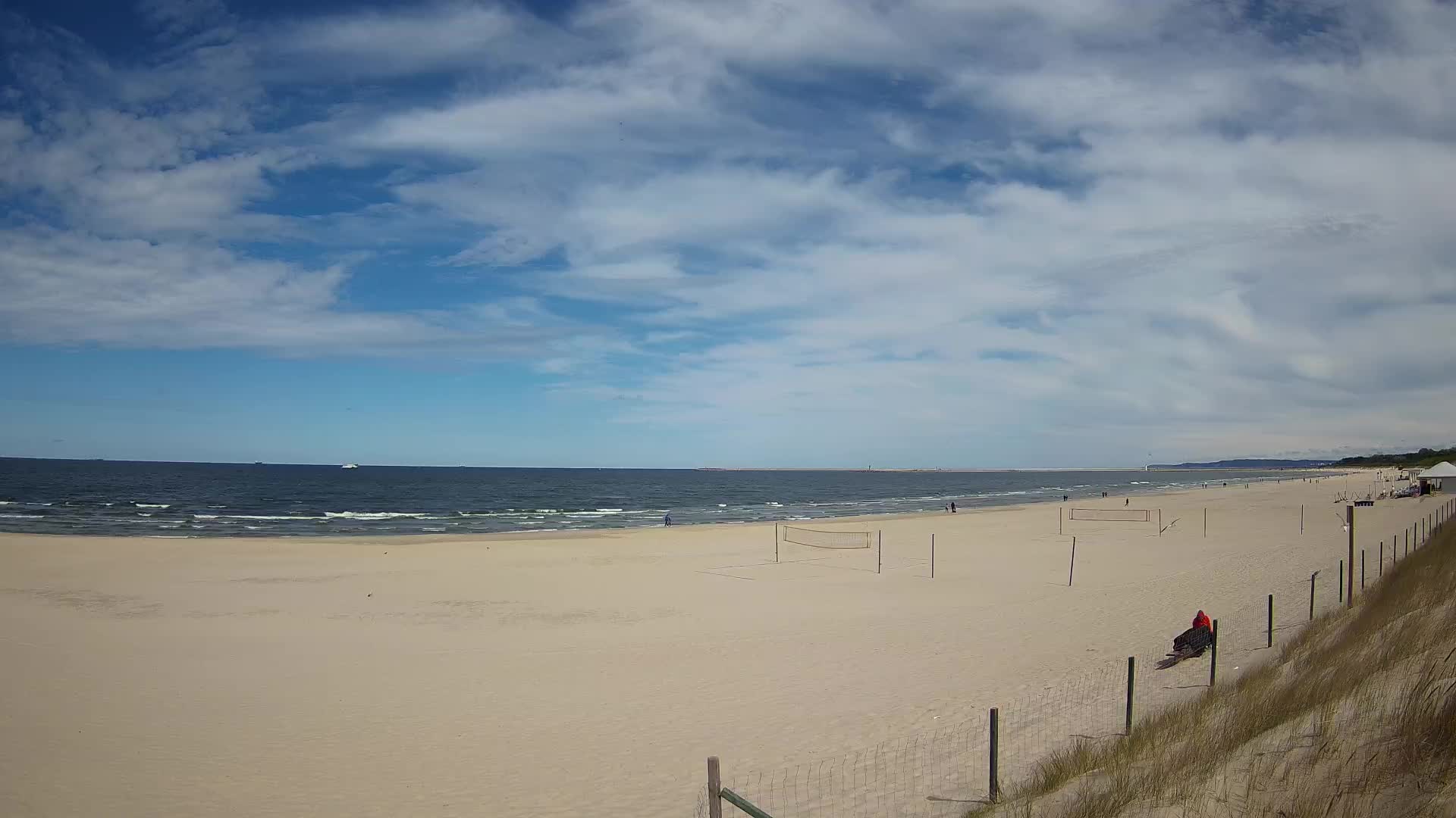
Streckelsberg附近的网络摄像头

Streckelsberg周边的历史
Streckelsberg附近的城镇
- 希维诺乌伊希切22 公里外
- Universitäts- und Hansestadt Greifswald40 公里外
- 波利采67 公里外
- Stralsund67 公里外
- Neubrandenburg74 公里外
- 戈莱纽夫76 公里外