Rugard
91 米299 英尺
丘陵 · 德国
The Rugard, at 91 m above sea level (NN), is the highest elevation in the central region of the German Baltic Sea island of Rügen. This push end moraine was formed in the last ice age and lies on the northeastern perimeter of the town of Bergen auf Rügen.
来自Wikipedia,CC BY-SA · 阅读文章
山顶 · 13:00 的预报
11 °C阴 · 南风 19 km/h
 3D 查看
Rugard山顶天气,91 米
- 13:0011 °C南 19 km/h–
- 16:0011 °C南 22 km/h–
- 19:0010 °C南 19 km/h–
- 22:0010 °C南 17 km/h–
- 1:0010 °C南 16 km/h–
- 4:009 °C西南 11 km/h0.1 mm
- 7:0010 °C西 9 km/h–
- 10:0012 °C西 12 km/h–
| 日期 | 天气 | 最高 / 最低 | 雨 | 最大风速 |
|---|---|---|---|---|
| 10月28日周三 | 多云 | 14 °C / 8 °C | 0.1 mm | 18 km/h |
| 10月29日周四 | 阴 | 12 °C / 8 °C | – | 13 km/h |
| 10月30日周五 | 阴 | 11 °C / 9 °C | – | 13 km/h |
| 10月31日周六 | 阴 | 11 °C / 9 °C | – | 10 km/h |
| 11月1日周日 | 阴 | 11 °C / 8 °C | – | 8 km/h |
| 11月2日周一 | 阴 | 11 °C / 8 °C | – | 10 km/h |
| 11月3日周二 | 阴 | 11 °C / 7 °C | – | 14 km/h |
预报来自 MET Norway(CC BY 4.0),更新于 GMT+1 11:30。时间均为当地时间。
基本信息
Rugard
The Rugard, at 91 m above sea level (NN), is the highest elevation in the central region of the German Baltic Sea island of Rügen. This push end moraine was formed in the last ice age and lies on the northeastern perimeter of the town of Bergen auf Rügen. There was probably a castle here from the 9th century to the year 1325 A.D., in which princes of the Slavic Rani tribe resided.
来自Wikipedia,CC BY-SA · 阅读文章
Rugard附近的山峰
- Piekberg161 米 · 19 公里外地图上
- Königsstuhl118 米 · 22 公里外地图上
- Streckelsberg58 米 · 55 公里外地图上
- Schlossberg24 米 · 7.7 公里外地图上
- Baken-Berg66 米 · 8.1 公里外地图上
- Waldhalle丘陵 · 15 公里外地图上
- Kleiner Königsstuhl山 · 18 公里外地图上
- Zickerberg66 米 · 19 公里外地图上
- Herthaburg丘陵 · 21 公里外地图上
- Lotsenberg36 米 · 24 公里外地图上
德国最高的山
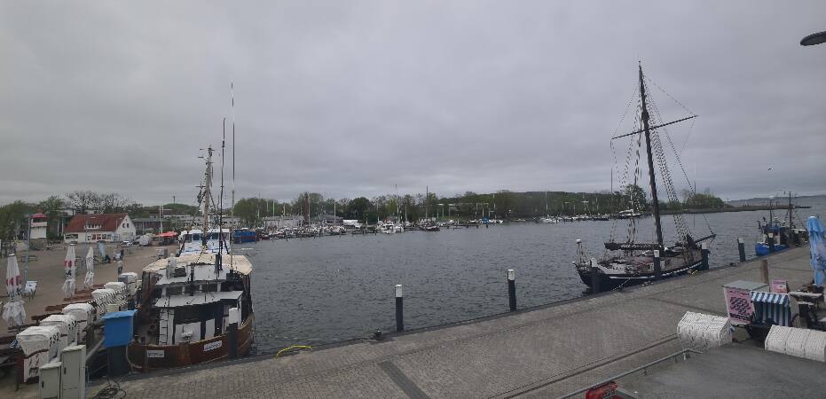
Rugard附近的网络摄像头



Rugard周边的历史
Rugard附近的城镇
- Stralsund27 公里外
- Universitäts- und Hansestadt Greifswald37 公里外
- Ribnitz-Damgarten67 公里外
- 希维诺乌伊希切77 公里外