Virginia Peak
Montagne · Pah Rah Range · États-Unis
Virginia Peak is the highest mountain in the Pah Rah Range of Washoe County in Nevada, United States. It is the most topographically prominent peak in Washoe County and ranks thirty-sixth among the most topographically prominent peaks in Nevada.
Source : Wikipedia, CC BY-SA · Lire l’article
Au sommet · prévision pour 22:00
37 °FDégagé · vent 4 mph du S
Prévisions météo à Virginia Peak
- 22:0037 °FS 4 mph–
- 1:0036 °FS 4 mph–
- 4:0035 °FS 4 mph–
- 7:0035 °FSE 4 mph–
- 10:0042 °FNE 2 mph–
- 13:0047 °FNE 4 mph–
- 16:0048 °FNE 4 mph–
- 19:0044 °FSE 3 mph–
| Jour | Ciel | Max. / min. | Pluie | Vent jusqu’à |
|---|---|---|---|---|
| jeu. 29 oct. | Nuageux | 48 °F / 35 °F | – | 5 mph |
| ven. 30 oct. | Nuageux | 44 °F / 36 °F | 0,09 po | 7 mph |
| sam. 31 oct. | Pluie | 42 °F / 32 °F | 0,43 po | 4 mph |
| dim. 1 nov. | Plutôt dégagé | 35 °F / 29 °F | 0,05 po | 7 mph |
| lun. 2 nov. | Plutôt dégagé | 41 °F / 26 °F | – | 5 mph |
| mar. 3 nov. | Partiellement nuageux | 45 °F / 29 °F | – | 3 mph |
| mer. 4 nov. | Nuageux | 48 °F / 36 °F | – | 2 mph |
Prévisions de MET Norway (CC BY 4.0), mises à jour à 12:20 UTC−7. Heures locales.
Fiche technique
- Type
- Montagne
- Proéminence
- 3 642 ft (1 110 m)
- Massif
- Pah Rah Range
- Pays
- États-Unis
- Coordonnées
- 39.756°N 119.461°W
- Source
- Wikidata, CC0
Virginia Peak (Nevada)
Mountain in the American state of Nevada
Virginia Peak is the highest mountain in the Pah Rah Range of Washoe County in Nevada, United States. It is the most topographically prominent peak in Washoe County and ranks thirty-sixth among the most topographically prominent peaks in Nevada. The peak is on public land administered by the Bureau of Land Management and thus has no access restrictions.
Source : Wikipedia, CC BY-SA · Lire l’article
Sommets près de Virginia Peak
- Peavine Peak8 269 ft · à 44 kmSur la carte
- Steamboat Springs, Nevada4 642 ft · à 48 kmSur la carte
- Mount Davidson7 868 ft · à 53 kmSur la carte
- Adams Peak8 199 ft · à 57 kmSur la carte
- Crystal Peak8 107 ft · à 58 kmSur la carte
- Mount Ina Coolbrith8 064 ft · à 59 kmSur la carte
- Tule PeakColline · à 34 kmSur la carte
- Huffaker HillsMontagne · à 41 kmSur la carte
- Churchill ButteMontagne · à 48 kmSur la carte
Plus hautes montagnes : États-Unis
- Denali20 308 ftSur la carte
- mont Saint-Élie18 009 ftSur la carte
- mont Foraker17 402 ftSur la carte
- mont Bona16 535 ftSur la carte
- mont Blackburn16 390 ftSur la carte
- mont Sanford16 237 ftSur la carte
- mont Vancouver15 787 ftSur la carte
- mont Churchill15 636 ftSur la carte
- mont Fairweather15 325 ftSur la carte
- mont Hubbard14 951 ftSur la carte
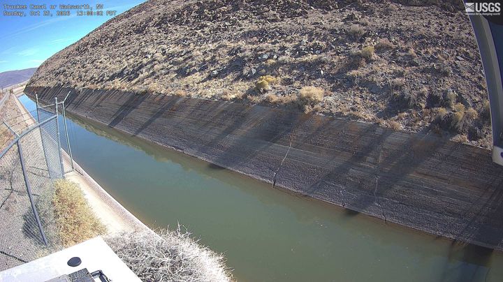
Webcams près de Virginia Peak
Histoire autour de Virginia Peak
Villes près de Virginia Peak
- Spanish Springsà 24 km
- Fernleyà 24 km
- Sun Valleyà 32 km
- Sparksà 35 km
- Renoà 39 km
- Fallonà 66 km