Virginia Peak
Mountain · Pah Rah Range · United States
Virginia Peak is the highest mountain in the Pah Rah Range of Washoe County in Nevada, United States. It is the most topographically prominent peak in Washoe County and ranks thirty-sixth among the most topographically prominent peaks in Nevada.
From Wikipedia, CC BY-SA · Read the article
At the summit · forecast for 1:00 PM
45 °FClear · wind 6 mph from the N
Virginia Peak weather forecast
- 1:00 PM45 °FN 6 mph–
- 4:00 PM46 °FN 5 mph–
- 7:00 PM41 °FNE 2 mph–
- 10:00 PM38 °FS 4 mph–
- 1:00 AM37 °FS 4 mph–
- 4:00 AM36 °FS 4 mph–
- 7:00 AM36 °FS 4 mph–
- 10:00 AM43 °FNE 2 mph–
| Day | Sky | High / low | Rain | Wind up to |
|---|---|---|---|---|
| Thu, Oct 29 | Cloudy | 50 °F / 36 °F | – | 5 mph |
| Fri, Oct 30 | Partly cloudy | 49 °F / 36 °F | – | 12 mph |
| Sat, Oct 31 | Rain | 42 °F / 32 °F | 0.43 in | 4 mph |
| Sun, Nov 1 | Mostly clear | 35 °F / 29 °F | 0.05 in | 7 mph |
| Mon, Nov 2 | Mostly clear | 41 °F / 26 °F | – | 5 mph |
| Tue, Nov 3 | Partly cloudy | 45 °F / 29 °F | – | 3 mph |
| Wed, Nov 4 | Cloudy | 48 °F / 36 °F | – | 2 mph |
Forecast by MET Norway (CC BY 4.0), updated 10:19 AM PDT. Times are local.
Facts
- What it is
- Mountain
- Prominence
- 3,642 ft (1,110 m)
- Range
- Pah Rah Range
- Country
- United States
- Coordinates
- 39.756°N 119.461°W
- Source
- Wikidata, CC0
Virginia Peak (Nevada)
Mountain in the American state of Nevada
Virginia Peak is the highest mountain in the Pah Rah Range of Washoe County in Nevada, United States. It is the most topographically prominent peak in Washoe County and ranks thirty-sixth among the most topographically prominent peaks in Nevada. The peak is on public land administered by the Bureau of Land Management and thus has no access restrictions.
From Wikipedia, CC BY-SA · Read the article
Peaks near Virginia Peak
- Peavine Peak8,269 ft · 44 km awayOn the map
- Steamboat Springs, Nevada4,642 ft · 48 km awayOn the map
- Mount Davidson7,868 ft · 53 km awayOn the map
- Adams Peak8,199 ft · 57 km awayOn the map
- Crystal Peak8,107 ft · 58 km awayOn the map
- Mount Ina Coolbrith8,064 ft · 59 km awayOn the map
- Tule PeakHill · 34 km awayOn the map
- Huffaker HillsMountain · 41 km awayOn the map
- Churchill ButteMountain · 48 km awayOn the map
Highest mountains in United States
- Denali20,308 ftOn the map
- Mount Saint Elias18,009 ftOn the map
- Mount Foraker17,402 ftOn the map
- Mount Bona16,535 ftOn the map
- Mount Blackburn16,390 ftOn the map
- Mount Sanford16,237 ftOn the map
- Mount Vancouver15,787 ftOn the map
- Mount Churchill15,636 ftOn the map
- Mount Fairweather15,325 ftOn the map
- Mount Hubbard14,951 ftOn the map
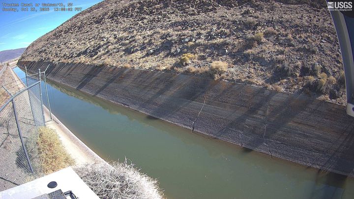
Webcams near Virginia Peak
History around Virginia Peak
Towns near Virginia Peak
- Spanish Springs24 km away
- Fernley24 km away
- Sun Valley32 km away
- Sparks35 km away
- Reno39 km away
- Fallon66 km away