Mountains in United States
See it in 3DMount Davidson
7,868 ft2,398 m
Mountain · Virginia Range · United States
Mount Davidson is both the highest and most topographically prominent mountain in both Storey County, Nevada, and the Virginia Range. The mountain forms a backdrop for the mining boomtown of Virginia City which was built above the Comstock Lode silver strike.
From Wikipedia, CC BY-SA · Read the article
At the summit · forecast for 1:00 PM
51 °FClear · wind 12 mph from the SW
Weather at the summit of Mount Davidson, 7,868 ft
- 1:00 PM51 °FSW 12 mph–
- 4:00 PM48 °FSW 14 mph–
- 7:00 PM38 °FW 4 mph–
- 10:00 PM33 °FNW 2 mph–
- 1:00 AM31 °FN 1 mph–
- 4:00 AM28 °FN 1 mph–
- 7:00 AM24 °FW 2 mph–
- 10:00 AM33 °FSE 2 mph–
| Day | Sky | High / low | Rain | Wind up to |
|---|---|---|---|---|
| Wed, Oct 28 | Mostly clear | 49 °F / 24 °F | – | 5 mph |
| Thu, Oct 29 | Cloudy | 49 °F / 32 °F | – | 11 mph |
| Fri, Oct 30 | Partly cloudy | 44 °F / 33 °F | 0.02 in | 8 mph |
| Sat, Oct 31 | Rain | 38 °F / 30 °F | 0.15 in | 3 mph |
| Sun, Nov 1 | Mostly clear | 38 °F / 24 °F | 0.01 in | 4 mph |
| Mon, Nov 2 | Clear | 40 °F / 24 °F | – | 3 mph |
| Tue, Nov 3 | Cloudy | 47 °F / 26 °F | – | 3 mph |
Forecast by MET Norway (CC BY 4.0), updated 10:17 AM PDT. Times are local.
Facts
- What it is
- Mountain
- Height above sea level
- 7,868 ft (2,398 m)
- Prominence
- 2,704 ft (824 m)
- Range
- Virginia Range
- Country
- United States
- Coordinates
- 39.308°N 119.663°W
- Source
- Wikidata, CC0
Peaks near Mount Davidson
- Steamboat Springs, Nevada4,642 ft · 8.9 km awayOn the map
- Slide Mountain9,702 ft · 19 km awayOn the map
- Mount Rose10,785 ft · 22 km awayOn the map
- Snow Valley Peak9,218 ft · 26 km awayOn the map
- Mount Baldy9,275 ft · 29 km awayOn the map
- Peavine Peak8,269 ft · 39 km awayOn the map
- Mount Pluto, California8,617 ft · 42 km awayOn the map
- East Peak9,595 ft · 46 km awayOn the map
- Crystal Peak8,107 ft · 46 km awayOn the map
- Mount Siegel9,456 ft · 49 km awayOn the map
Highest mountains in United States
- Denali20,308 ftOn the map
- Mount Saint Elias18,009 ftOn the map
- Mount Foraker17,402 ftOn the map
- Mount Bona16,535 ftOn the map
- Mount Blackburn16,390 ftOn the map
- Mount Sanford16,237 ftOn the map
- Mount Vancouver15,787 ftOn the map
- Mount Churchill15,636 ftOn the map
- Mount Fairweather15,325 ftOn the map
- Mount Hubbard14,951 ftOn the map
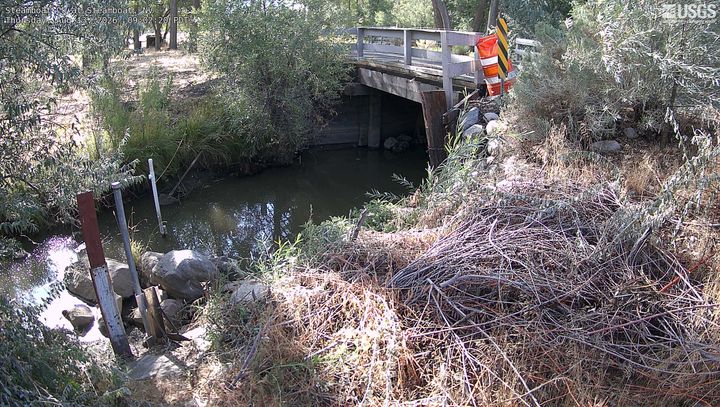
Webcams near Mount Davidson
History around Mount Davidson
Towns near Mount Davidson
- Carson City18 km away
- Sparks26 km away
- Reno28 km away
- Sun Valley33 km away
- Spanish Springs38 km away
- Truckee45 km away