Mount Siegel
9,456 ft2,882 m
Mountain · Pine Nut Mountains · United States
Mount Siegel, elevation 9456 ft., is the highest mountain in the Pine Nut Mountains of Douglas County in Nevada, United States. It is the most topographically prominent peak in Douglas County and ranks forty-sixth among the most topographically prominent peaks in Nevada.
From Wikipedia, CC BY-SA · Read the article
At the summit · forecast for 5:00 PM
43 °FClear · wind 11 mph from the SW
Weather at the summit of Mount Siegel, 9,456 ft
- 5:00 PM43 °FSW 11 mph–
- 8:00 PM33 °FSW 4 mph–
- 11:00 PM31 °FS 3 mph–
- 2:00 AM30 °FSE 3 mph–
- 5:00 AM29 °FS 3 mph–
- 8:00 AM30 °FSW 2 mph–
- 11:00 AM42 °FSW 5 mph–
- 2:00 PM49 °FSW 13 mph–
| Day | Sky | High / low | Rain | Wind up to |
|---|---|---|---|---|
| Tue, Oct 27 | Clear | 49 °F / 28 °F | – | 13 mph |
| Wed, Oct 28 | Mostly clear | 45 °F / 24 °F | – | 6 mph |
| Thu, Oct 29 | Cloudy | 42 °F / 33 °F | – | 7 mph |
| Fri, Oct 30 | Mostly clear | 39 °F / 28 °F | 0.01 in | 10 mph |
| Sat, Oct 31 | Cloudy | 35 °F / 25 °F | 0.02 in | 10 mph |
| Sun, Nov 1 | Clear | 36 °F / 23 °F | – | 3 mph |
| Mon, Nov 2 | Clear | 41 °F / 23 °F | – | 2 mph |
Forecast by MET Norway (CC BY 4.0), updated 04:19 PM PDT. Times are local.
Facts
- What it is
- Mountain
- Height above sea level
- 9,456 ft (2,882 m)
- Prominence
- 3,477 ft (1,060 m)
- Range
- Pine Nut Mountains
- Country
- United States
- Coordinates
- 38.890°N 119.502°W
- Source
- Wikidata, CC0
Mount Siegel
Mountain in the state of Nevada
Mount Siegel, elevation 9456 ft., is the highest mountain in the Pine Nut Mountains of Douglas County in Nevada, United States. It is the most topographically prominent peak in Douglas County and ranks forty-sixth among the most topographically prominent peaks in Nevada. The peak is on public land administered by the Bureau of Land Management and thus has no access restrictions.
From Wikipedia, CC BY-SA · Read the article
Peaks near Mount Siegel
- Jobs Peak10,638 ft · 31 km awayOn the map
- Freel Peak10,886 ft · 35 km awayOn the map
- East Peak9,595 ft · 36 km awayOn the map
- Raymond Peak10,013 ft · 43 km awayOn the map
- Snow Valley Peak9,218 ft · 44 km awayOn the map
- Highland Peak10,935 ft · 44 km awayOn the map
- Middle Sister10,859 ft · 46 km awayOn the map
- Red Lake Peak10,068 ft · 46 km awayOn the map
- Mount Davidson7,868 ft · 49 km awayOn the map
- Angora Peak8,588 ft · 49 km awayOn the map
Highest mountains in United States
- Denali20,308 ftOn the map
- Mount Saint Elias18,009 ftOn the map
- Mount Foraker17,402 ftOn the map
- Mount Bona16,535 ftOn the map
- Mount Blackburn16,390 ftOn the map
- Mount Sanford16,237 ftOn the map
- Mount Vancouver15,787 ftOn the map
- Mount Churchill15,636 ftOn the map
- Mount Fairweather15,325 ftOn the map
- Mount Hubbard14,951 ftOn the map
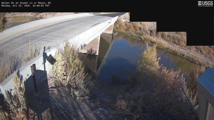
Webcams near Mount Siegel
History around Mount Siegel
- Numbers Fire2020
- Monarch Fire2020
- Upper Colony Fire2018
Towns near Mount Siegel
- Yerington35 km away
- Carson City38 km away
- South Lake Tahoe42 km away
- Sparks75 km away
- Reno76 km away
- Truckee76 km away