Mount Siegel
9,456 ft2,882 m
山 · パインナット山脈 · アメリカ合衆国
Mount Siegel, elevation 9456 ft., is the highest mountain in the Pine Nut Mountains of Douglas County in Nevada, United States. It is the most topographically prominent peak in Douglas County and ranks forty-sixth among the most topographically prominent peaks in Nevada.
出典: Wikipedia、CC BY-SA · 記事を読む
山頂 · 0:00 の予報
31 °F快晴 · 南の風 3 mph
Mount Siegel 山頂の天気(9,456 ft)
- 0:0031 °F南 3 mph–
- 3:0029 °F南東 2 mph–
- 6:0029 °F南 2 mph–
- 9:0037 °F南 3 mph–
- 12:0046 °F西 9 mph–
- 15:0047 °F南西 13 mph–
- 18:0039 °F南西 7 mph–
- 21:0031 °F南西 3 mph–
| 日付 | 天気 | 最高 / 最低 | 雨 | 最大風速 |
|---|---|---|---|---|
| 10月27日(火) | 快晴 | 49 °F / 28 °F | – | 13 mph |
| 10月28日(水) | 快晴 | 45 °F / 24 °F | – | 6 mph |
| 10月29日(木) | 曇り | 42 °F / 32 °F | – | 7 mph |
| 10月30日(金) | 晴れ | 39 °F / 28 °F | 0.01 インチ | 10 mph |
| 10月31日(土) | 曇り | 35 °F / 25 °F | 0.02 インチ | 10 mph |
| 11月1日(日) | 快晴 | 36 °F / 23 °F | – | 3 mph |
| 11月2日(月) | 快晴 | 41 °F / 23 °F | – | 2 mph |
MET Norway(CC BY 4.0)による予報。22:20 GMT-7 更新。時刻は現地時間です。
基本データ
- 種類
- 山
- 標高
- 9,456 ft (2,882 m)
- プロミネンス
- 3,477 ft (1,060 m)
- 山脈
- パインナット山脈
- 座標
- 38.890°N 119.502°W
Mount Siegel
Mountain in the state of Nevada
Mount Siegel, elevation 9456 ft., is the highest mountain in the Pine Nut Mountains of Douglas County in Nevada, United States. It is the most topographically prominent peak in Douglas County and ranks forty-sixth among the most topographically prominent peaks in Nevada. The peak is on public land administered by the Bureau of Land Management and thus has no access restrictions.
出典: Wikipedia、CC BY-SA · 記事を読む
Mount Siegel周辺の山
- Jobs Peak10,638 ft · 31 km先地図上
- Freel Peak10,886 ft · 35 km先地図上
- East Peak9,595 ft · 36 km先地図上
- Raymond Peak10,013 ft · 43 km先地図上
- Snow Valley Peak9,218 ft · 44 km先地図上
- Highland Peak10,935 ft · 44 km先地図上
- Middle Sister10,859 ft · 46 km先地図上
- Red Lake Peak10,068 ft · 46 km先地図上
- Mount Davidson7,868 ft · 49 km先地図上
- Angora Peak8,588 ft · 49 km先地図上
アメリカ合衆国の高い山
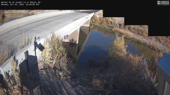
Mount Siegel周辺のライブカメラ
Mount Siegel周辺の歴史
- Numbers Fire2020
- Monarch Fire2020
- Upper Colony Fire2018