Facts
- What it is
- Mountain
- Height above sea level
- 10,935 ft (3,333 m)
- Country
- United States
- Coordinates
- 38.544°N 119.755°W
- Source
- Wikidata, CC0
Peaks near Highland Peak
- Raymond Peak10,013 ft · 9.5 km awayOn the map
- Dardanelles Cone9,527 ft · 18 km awayOn the map
- Stanislaus Peak11,234 ft · 19 km awayOn the map
- Deadwood Peak9,846 ft · 23 km awayOn the map
- Sonora Peak11,464 ft · 24 km awayOn the map
- Round Top10,381 ft · 25 km awayOn the map
- Red Lake Peak10,068 ft · 28 km awayOn the map
- Corral Ridge8,174 ft · 29 km awayOn the map
- Mokelumne Peak9,338 ft · 30 km awayOn the map
- Leavitt Peak11,573 ft · 30 km awayOn the map
Highest mountains in United States
- Denali20,308 ftOn the map
- Mount Saint Elias18,009 ftOn the map
- Mount Foraker17,402 ftOn the map
- Mount Bona16,535 ftOn the map
- Mount Blackburn16,390 ftOn the map
- Mount Sanford16,237 ftOn the map
- Mount Vancouver15,787 ftOn the map
- Mount Churchill15,636 ftOn the map
- Mount Fairweather15,325 ftOn the map
- Mount Hubbard14,951 ftOn the map
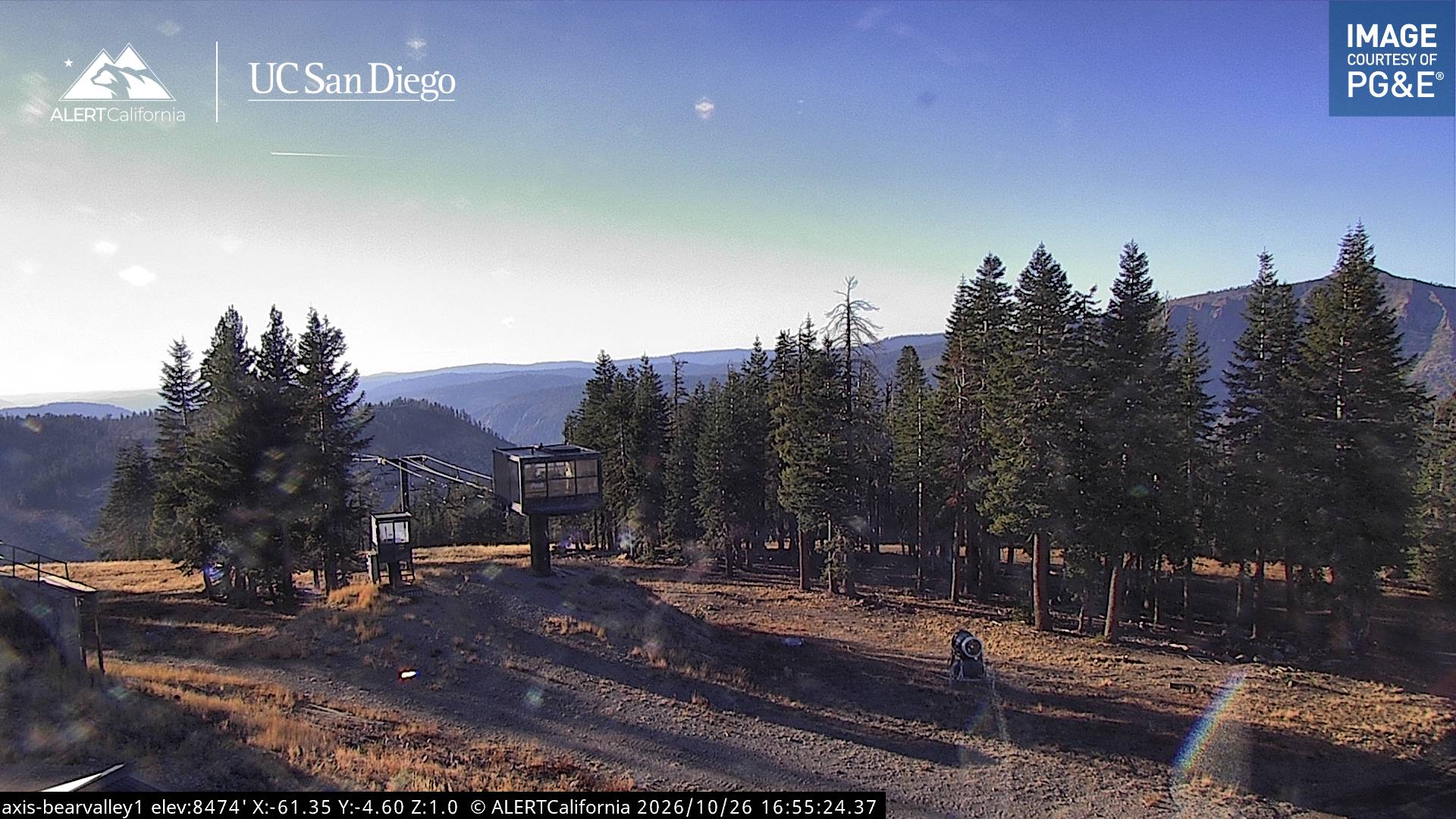
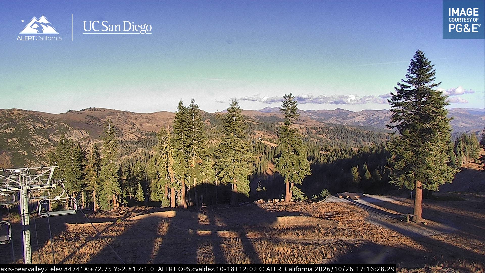
Webcams near Highland Peak
History around Highland Peak
- Tamarack Fire2021
Towns near Highland Peak
- South Lake Tahoe48 km away
- Carson City69 km away
- Yerington72 km away