スイスの山
Bantiger
947 m3,107 ft
山 · Emmental Alps · スイス
The Bantiger is a mountain north of the Emmental Alps, overlooking the region of Bern. It is located east of Ittigen and north of Stettlen, in the canton of Bern.
出典: Wikipedia、CC BY-SA · 記事を読む
山頂 · 5:00 の予報
6 °C雨 · 南東の風 5 km/h
 3D で見る
Bantiger 山頂の天気(947 m)
- 5:006 °C南東 5 km/h1.3 mm
- 8:007 °C東 4 km/h0.4 mm
- 11:008 °C北東 6 km/h0.3 mm
- 14:008 °C北東 10 km/h–
- 17:008 °C北東 7 km/h–
- 20:005 °C北東 10 km/h–
- 23:004 °C北東 13 km/h–
- 2:003 °C北東 14 km/h–
| 日付 | 天気 | 最高 / 最低 | 雨 | 最大風速 |
|---|---|---|---|---|
| 今日 | 曇り | 8 °C / 4 °C | 2 mm | 13 km/h |
| 10月29日(木) | 晴れ時々曇り | 8 °C / 3 °C | – | 19 km/h |
| 10月30日(金) | 晴れ時々曇り | 8 °C / 2 °C | – | 16 km/h |
| 10月31日(土) | 曇り | 5 °C / 1 °C | – | 12 km/h |
| 11月1日(日) | 曇り | 6 °C / 2 °C | 0.1 mm | 20 km/h |
| 11月2日(月) | 晴れ時々曇り | 6 °C / -1 °C | 0.1 mm | 22 km/h |
| 11月3日(火) | 曇り | 5 °C / 1 °C | 0.2 mm | 22 km/h |
MET Norway(CC BY 4.0)による予報。02:17 GMT+1 更新。時刻は現地時間です。
基本データ
- 種類
- 山
- 標高
- 947 m (3,107 ft)
- プロミネンス
- 320 m (1,050 ft)
- 山脈
- Emmental Alps
- 親ピーク
- Blasenflue
- 国
- スイス
- 座標
- 46.978°N 7.528°E
Bantiger周辺の山
親ピーク
プロミネンスの基準となる、最も近いより高い山。
- Blasenflue1,118 m地図上
Emmental Alpsの最高峰
スイスの高い山
Bantiger周辺のライブカメラ
 Webcam山頂から 7.8 km
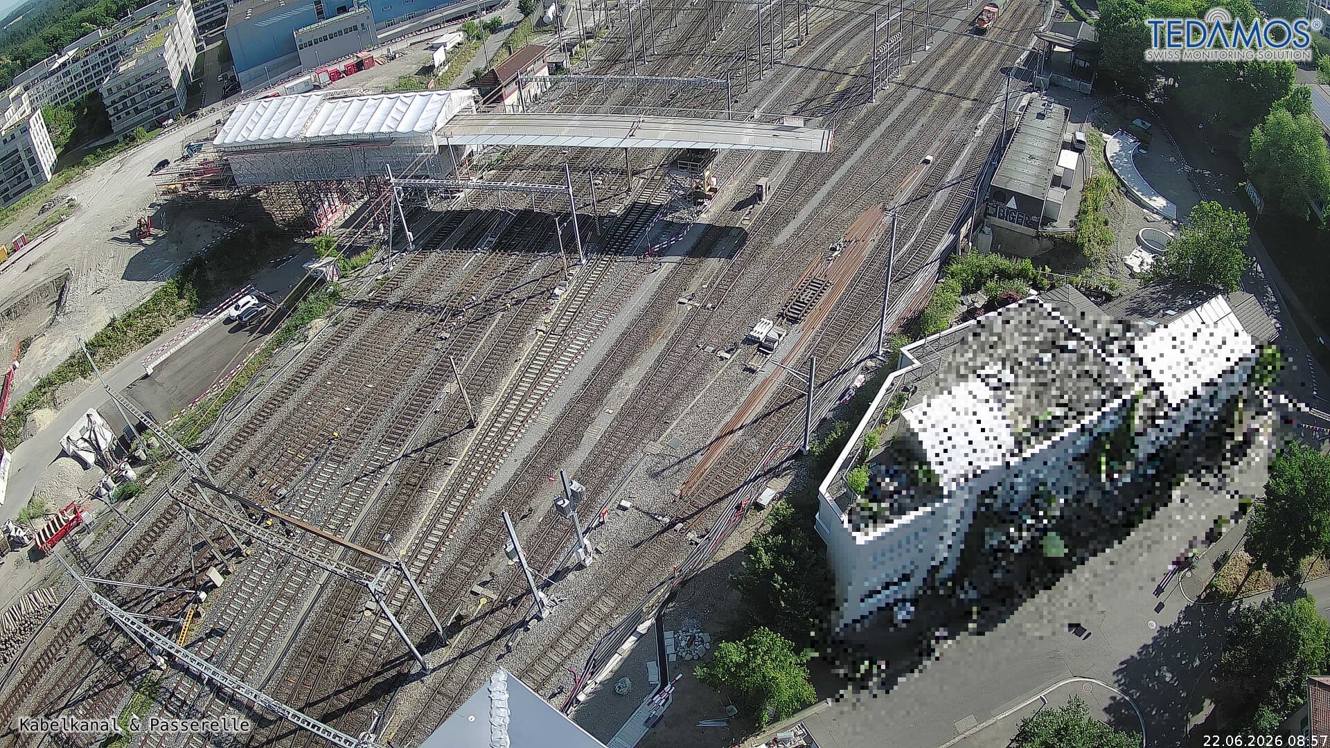 For "Leistungssteigerung Bern West": https://company.sbb.ch/de/bahnentwicklung/projekte/deutschschweiz/region-bern/bahnknoten-bern/bern-west/山頂から 9.6 km
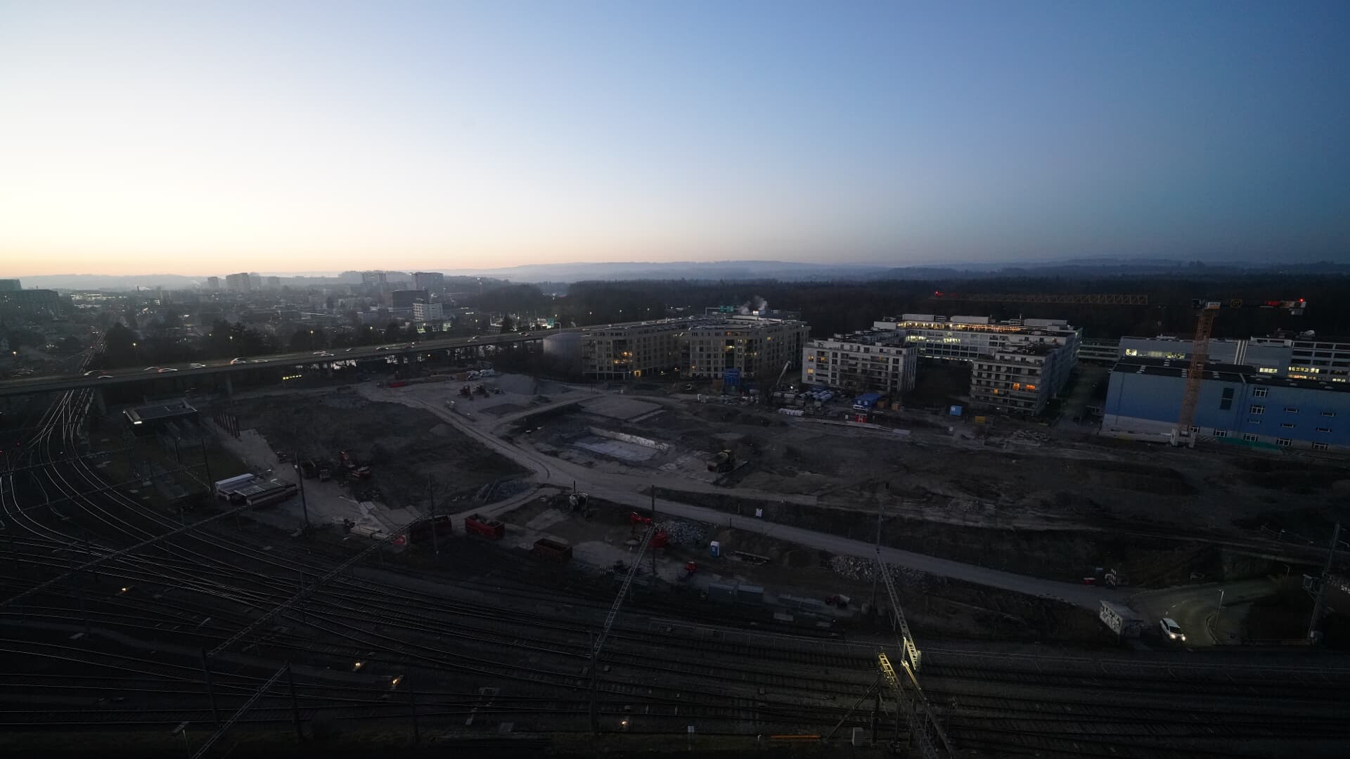 For BFH construction site: https://www.campus-bern.bvd.be.ch/de/start/bauphase.html山頂から 9.6 km
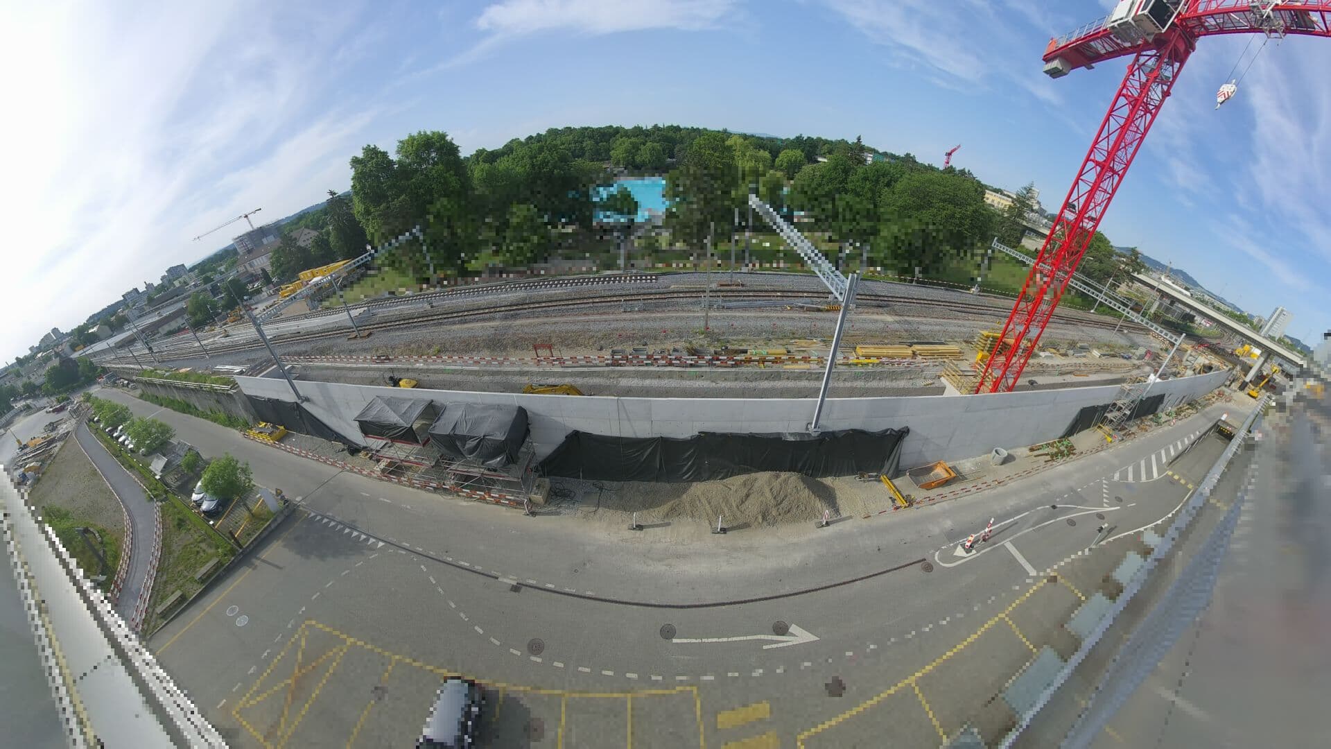 For Haltestelle Bern Europaplatz Nord: https://company.sbb.ch/de/bahnentwicklung/projekte/deutschschweiz/region-bern/bahnknoten-bern/bern-west/projekt/bahnhof-europaplatz-nord.html山頂から 9.9 km