Baraque de Fraiture
652 m2,139 ft
山 · ベルギー
The Baraque de Fraiture is the highest point in the province of Luxembourg, Wallonia, Belgium. Situated in the Municipality of Vielsalm, it is 652 metres (2,139 ft) high. It has a ski area comprising 3 pistes, which normally open for less than 20 days a year.
出典: Wikipedia、CC BY-SA · 記事を読む
山頂 · 2:00 の予報
5 °C晴れ · 南の風 5 km/h
 3D で見る
Baraque de Fraiture 山頂の天気(652 m)
- 2:005 °C南 5 km/h–
- 5:005 °C南 4 km/h–
- 8:003 °C南東 6 km/h–
- 11:0010 °C東 5 km/h–
- 14:0012 °C東 7 km/h–
- 17:008 °C北東 8 km/h–
- 20:005 °C東 10 km/h–
- 23:005 °C東 11 km/h–
| 日付 | 天気 | 最高 / 最低 | 雨 | 最大風速 |
|---|---|---|---|---|
| 今日 | 快晴 | 12 °C / 3 °C | – | 11 km/h |
| 10月30日(金) | 快晴 | 11 °C / 4 °C | – | 14 km/h |
| 10月31日(土) | 快晴 | 12 °C / 3 °C | – | 13 km/h |
| 11月1日(日) | 曇り | 7 °C / 4 °C | 0.2 mm | 13 km/h |
| 11月2日(月) | 曇り | 6 °C / 2 °C | 0.7 mm | 13 km/h |
| 11月3日(火) | 曇り | 6 °C / 3 °C | 0.3 mm | 16 km/h |
| 11月4日(水) | 快晴 | 7 °C / 0 °C | – | 13 km/h |
MET Norway(CC BY 4.0)による予報。02:17 GMT+1 更新。時刻は現地時間です。
基本データ
- 種類
- 山
- 標高
- 652 m (2,139 ft)
- 国
- ベルギー
- 座標
- 50.249°N 5.739°E
Baraque de Fraiture
Highest point in Luxembourg province, Belgium
The Baraque de Fraiture is the highest point in the province of Luxembourg, Wallonia, Belgium. Situated in the Municipality of Vielsalm, it is 652 metres (2,139 ft) high. It has a ski area comprising 3 pistes, which normally open for less than 20 days a year. However, it has been open for up to 60 days per year recently.
出典: Wikipedia、CC BY-SA · 記事を読む
Baraque de Fraiture周辺の山
- ブルクプラッツ558 m · 22 km先地図上
- クナイフ560 m · 24 km先地図上
- Signal de Botrange694 m · 38 km先地図上
- アルデンヌ山地652 m · 38 km先地図上
- Schwarzer Mann698 m · 44 km先地図上
- Napoléonsgaard554 m · 46 km先地図上
- Weißer Stein693 m · 48 km先地図上
- Hardtkopf (Eifel)602 m · 49 km先地図上
- Steling658 m · 50 km先地図上
- Herrenberg393 m · 51 km先地図上
ベルギーの高い山
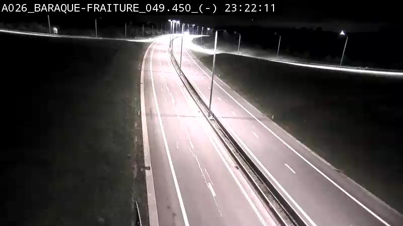
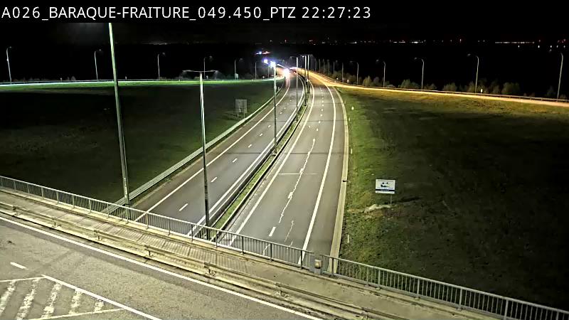
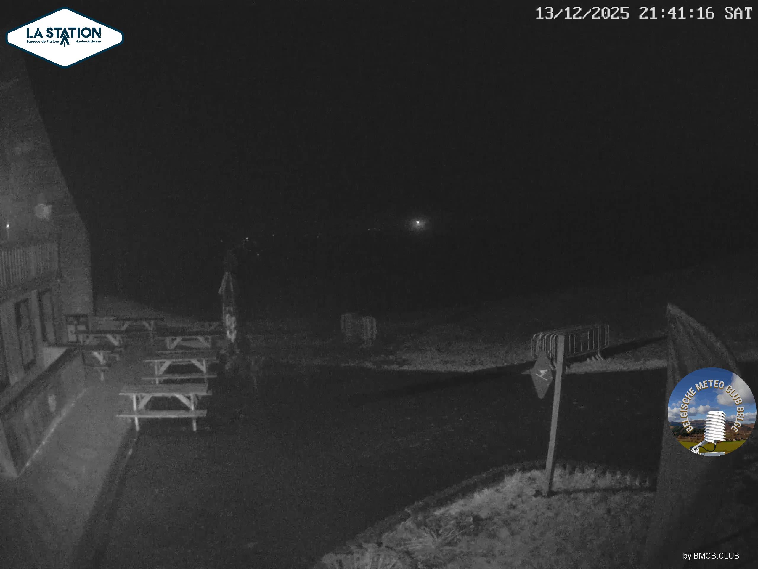
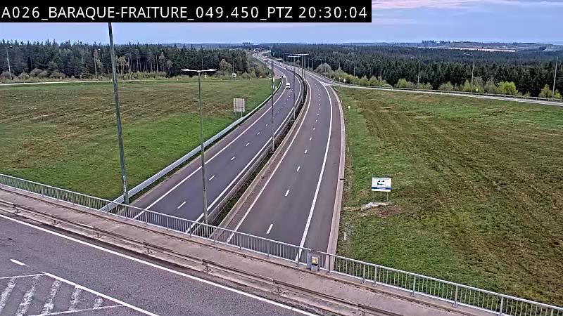
Baraque de Fraiture周辺のライブカメラ
Baraque de Fraiture周辺の歴史
Baraque de Fraiture周辺の町
- Marche-en-Famenne28 km先
- Heusy37 km先
- Chaudfontaine38 km先
- Verviers39 km先
- Soumagne41 km先
- Seraing41 km先