Baraque de Fraiture
652 m2,139 ft
Mountain · Belgium
The Baraque de Fraiture is the highest point in the province of Luxembourg, Wallonia, Belgium. Situated in the Municipality of Vielsalm, it is 652 metres (2,139 ft) high. It has a ski area comprising 3 pistes, which normally open for less than 20 days a year.
From Wikipedia, CC BY-SA · Read the article
At the summit · forecast for 8:00 PM
6 °CMostly clear · wind 4 km/h from the S
 See it in 3D
Weather at the summit of Baraque de Fraiture, 652 m
- 8:00 PM6 °CS 4 km/h–
- 11:00 PM4 °CS 6 km/h–
- 2:00 AM4 °CS 5 km/h–
- 5:00 AM5 °CSE 3 km/h–
- 8:00 AM3 °CSE 5 km/h–
- 11:00 AM10 °CE 7 km/h–
- 2:00 PM13 °CNE 9 km/h–
- 5:00 PM9 °CN 8 km/h–
| Day | Sky | High / low | Rain | Wind up to |
|---|---|---|---|---|
| Thu, Oct 29 | Mostly clear | 13 °C / 3 °C | – | 11 km/h |
| Fri, Oct 30 | Partly cloudy | 11 °C / 4 °C | – | 17 km/h |
| Sat, Oct 31 | Clear | 12 °C / 3 °C | – | 12 km/h |
| Sun, Nov 1 | Partly cloudy | 8 °C / 3 °C | – | 12 km/h |
| Mon, Nov 2 | Partly cloudy | 8 °C / 3 °C | – | 12 km/h |
| Tue, Nov 3 | Partly cloudy | 8 °C / 2 °C | – | 17 km/h |
| Wed, Nov 4 | Clear | 8 °C / 2 °C | – | 17 km/h |
Forecast by MET Norway (CC BY 4.0), updated 12:19 PM GMT+1. Times are local.
Facts
- What it is
- Mountain
- Height above sea level
- 652 m (2,139 ft)
- Country
- Belgium
- Coordinates
- 50.249°N 5.739°E
- Source
- Wikidata, CC0
Baraque de Fraiture
Highest point in Luxembourg province, Belgium
The Baraque de Fraiture is the highest point in the province of Luxembourg, Wallonia, Belgium. Situated in the Municipality of Vielsalm, it is 652 metres (2,139 ft) high. It has a ski area comprising 3 pistes, which normally open for less than 20 days a year. However, it has been open for up to 60 days per year recently.
From Wikipedia, CC BY-SA · Read the article
Peaks near Baraque de Fraiture
- Buurgplaatz558 m · 22 km awayOn the map
- Kneiff560 m · 24 km awayOn the map
- Signal de Botrange694 m · 38 km awayOn the map
- Ardennes massif652 m · 38 km awayOn the map
- Schwarzer Mann698 m · 44 km awayOn the map
- Napoléonsgaard554 m · 46 km awayOn the map
- Weißer Stein693 m · 48 km awayOn the map
- Hardtkopf (Eifel)602 m · 49 km awayOn the map
- Steling658 m · 50 km awayOn the map
- Herrenberg393 m · 51 km awayOn the map
Highest mountains in Belgium
- Weißer Stein693 mOn the map
- Steling658 mOn the map
- Baraque de Fraiture652 mOn the map
- Croix Scaille504 mOn the map
- Vaalserberg322 mOn the map
- Mount Saint Peter171 mOn the map
- Kemmelberg154 mOn the map
- Mont Noir152 mOn the map
- Bosberg105 mOn the map
- Leberg99 mOn the map
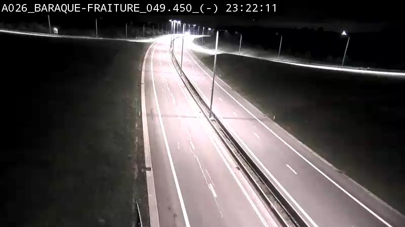
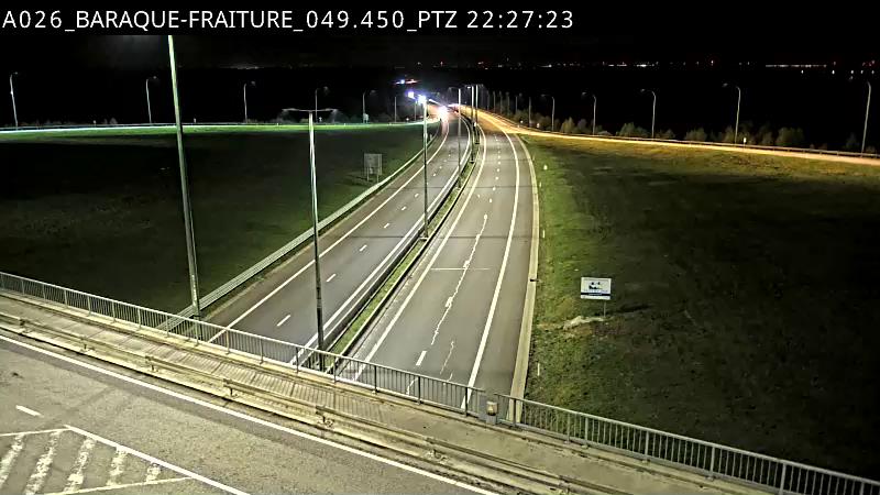
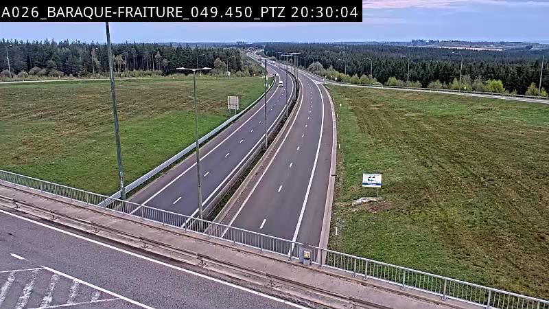
Webcams near Baraque de Fraiture
History around Baraque de Fraiture
Towns near Baraque de Fraiture
- Marche-en-Famenne28 km away
- Heusy37 km away
- Chaudfontaine38 km away
- Verviers39 km away
- Soumagne41 km away
- Seraing41 km away