Mountains in Luxembourg
Napoléonsgaard
554 m1,818 ft
Hill · Luxembourg
Napoleonsgaart is a hill in the commune of Rambrouch, in western Luxembourg. It is 554 metres (1,818 ft) tall, and lies to the north-east of Schwiedelbrouch.
From Wikipedia, CC BY-SA · Read the article
At the summit · forecast for 1:00 AM
9 °CCloudy · wind 13 km/h from the S
 See it in 3D
Weather at the summit of Napoléonsgaard, 554 m
- 1:00 AM9 °CS 13 km/h–
- 4:00 AM9 °CS 15 km/h–
- 7:00 AM10 °CS 17 km/h–
- 10:00 AM11 °CS 18 km/h–
- 1:00 PM13 °CS 17 km/h–
- 4:00 PM14 °CS 14 km/h–
- 7:00 PM12 °CSW 12 km/h0.6 mm
- 10:00 PM10 °CNW 15 km/h0.4 mm
| Day | Sky | High / low | Rain | Wind up to |
|---|---|---|---|---|
| Today | Cloudy | 14 °C / 9 °C | 1 mm | 20 km/h |
| Wed, Oct 28 | Clear | 12 °C / 3 °C | – | 15 km/h |
| Thu, Oct 29 | Clear | 11 °C / 2 °C | – | 11 km/h |
| Fri, Oct 30 | Clear | 11 °C / 2 °C | – | 8 km/h |
| Sat, Oct 31 | Clear | 10 °C / 2 °C | – | 7 km/h |
| Sun, Nov 1 | Partly cloudy | 9 °C / -0 °C | 0.3 mm | 7 km/h |
| Mon, Nov 2 | Cloudy | 9 °C / 6 °C | 0.3 mm | 14 km/h |
Forecast by MET Norway (CC BY 4.0), updated 08:16 PM GMT+1. Times are local.
Facts
- What it is
- Hill
- Height above sea level
- 554 m (1,818 ft)
- Country
- Luxembourg
- Coordinates
- 49.849°N 5.885°E
- Source
- Wikidata, CC0
Peaks near Napoléonsgaard
- Herrenberg393 m · 21 km awayOn the map
- Kneiff560 m · 36 km awayOn the map
- Zolwerknapp422 m · 36 km awayOn the map
- Buurgplaatz558 m · 36 km awayOn the map
- Widdebierg386 m · 37 km awayOn the map
- Mont St. Jean411 m · 42 km awayOn the map
- Baraque de Fraiture652 m · 46 km awayOn the map
- Hardtkopf (Eifel)602 m · 53 km awayOn the map
- Schwarzer Mann698 m · 57 km awayOn the map
- montagne Verte347 m · 59 km awayOn the map
Highest mountains in Luxembourg
- Kneiff560 mOn the map
- Napoléonsgaard554 mOn the map
- Zolwerknapp422 mOn the map
- Mont St. Jean411 mOn the map
- Herrenberg393 mOn the map
- Widdebierg386 mOn the map
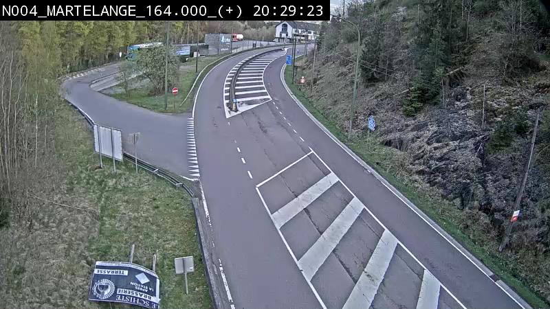
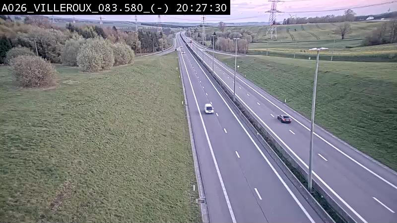
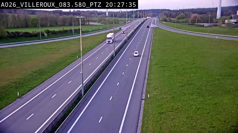
Webcams near Napoléonsgaard
History around Napoléonsgaard
- Siege of Luxembourg1684
- Reparations Agreement between Israel and West Germany1952
- 1942 Luxembourgish general strike1942
- Battle of Arlon1793
- Grève métallurgique luxembourgeoise de mars 19211921
- William III of the Netherlands accepts an offer of 5,000,000 guilders from Napoleon III for the sale of Luxembourg, leading to the Luxembourg Crisis1867
- Battle of Arlon1794
- 1st case of the COVID-19 pandemic in Luxembourg2020
Towns near Napoléonsgaard
- Arlon19 km away
- Luxembourg32 km away
- Esch-sur-Alzette40 km away
- Dudelange43 km away
- Konz52 km away
- Trier55 km away