Baruntse
7,129 m23,389 ft
山 · ネパール
Baruntse is a mountain in the Khumbu region of eastern Nepal, crowned by four peaks and bounded on the south by the Hunku Glacier, on the east by the Barun Glacier, and on the northwest by the Imja Glacier.
出典: Wikipedia、CC BY-SA · 記事を読む
山頂 · 14:45 の予報
-16 °C快晴 · 西の風 6 km/h
 3D で見る
Baruntse 山頂の天気(7,129 m)
- 14:45-16 °C西 6 km/h–
- 17:45-21 °C北西 6 km/h–
- 20:45-23 °C北西 5 km/h–
- 23:45-25 °C北西 7 km/h–
- 2:45-25 °C北西 7 km/h–
- 5:45-26 °C北西 7 km/h–
- 8:45-20 °C北西 6 km/h–
- 11:45-15 °C西 6 km/h–
| 日付 | 天気 | 最高 / 最低 | 雨 | 最大風速 |
|---|---|---|---|---|
| 10月28日(水) | 曇り | -15 °C / -26 °C | – | 8 km/h |
| 10月29日(木) | 大雪 | -14 °C / -22 °C | 17.6 mm | 6 km/h |
| 10月30日(金) | 大雪 | -14 °C / -15 °C | 86.4 mm | 6 km/h |
| 10月31日(土) | 晴れ時々曇り | -13 °C / -18 °C | 11.4 mm | 6 km/h |
| 11月1日(日) | 晴れ | -14 °C / -22 °C | 0.2 mm | 4 km/h |
| 11月2日(月) | 小雪 | -17 °C / -27 °C | 1.8 mm | 5 km/h |
| 11月3日(火) | 快晴 | -19 °C / -26 °C | – | 5 km/h |
MET Norway(CC BY 4.0)による予報。15:07 GMT+5:45 更新。時刻は現地時間です。
基本データ
- 種類
- 山
- 標高
- 7,129 m (23,389 ft)
- プロミネンス
- 979 m (3,212 ft)
- 国
- ネパール
- 座標
- 27.883°N 86.983°E
Baruntse
Mountain in Nepal
Baruntse is a mountain in the Khumbu region of eastern Nepal, crowned by four peaks and bounded on the south by the Hunku Glacier, on the east by the Barun Glacier, and on the northwest by the Imja Glacier. It is considered as one of the best preparation peaks in the Himalayas for climbers readying themselves for eight-thousanders, however the mountain has a low success rate due to its technical difficulties, steep s…
出典: Wikipedia、CC BY-SA · 記事を読む
Baruntse周辺の山
- Num Ri6,677 m · 1.8 km先地図上
- Cho Polu6,735 m · 4 km先地図上
- Imja Tse6,189 m · 6.2 km先地図上
- Lhotse Middle8,410 m · 8.7 km先地図上
- ローツェ・シャール峰8,383 m · 9.2 km先地図上
- ローツェ8,516 m · 10 km先地図上
- マカルー8,485 m · 10 km先地図上
- Ombigaichan6,340 m · 10 km先地図上
- Hillary Peak7,681 m · 11 km先地図上
- チャムラン7,319 m · 12 km先地図上
ネパールの高い山
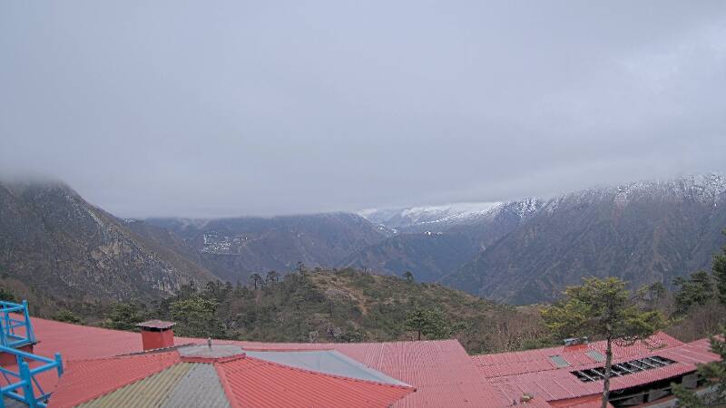
Baruntse周辺のライブカメラ
Baruntse周辺の歴史
- Twelve people are killed in an avalanche on Mount Everest2014
- 1996 Everest disaster: A sudden storm engulfs Mount Everest with several climbing teams high on the mountain, leaving eight people dead1996
- Mt Everest & Border Regions1959
- Lionel Terray and Jean Couzy become the first people to reach the summit of Makalu, the fifth-highest mountain in the world1955
Baruntse周辺の町
- カーンバリ61 km先