アメリカ合衆国の山
Bear Valley Buttes
2,166 ft660 m
山 · Inner Coast Ranges · アメリカ合衆国
Bear Valley Buttes is a geologic feature that overlooks Bear Valley in Colusa County, California. The Buttes are approximately 1.5 miles long and its highest peak stands at 2,166 ft above sea level.
出典: Wikipedia、CC BY-SA · 記事を読む
山頂 · 14:00 の予報
59 °F快晴 · 北東の風 6 mph
 3D で見る
Bear Valley Buttes 山頂の天気(2,166 ft)
- 14:0059 °F北東 6 mph–
- 17:0058 °F北東 7 mph–
- 20:0051 °F北西 4 mph–
- 23:0050 °F北西 4 mph–
- 2:0049 °F北西 6 mph–
- 5:0047 °F北西 6 mph–
- 8:0047 °F西 5 mph–
- 11:0058 °F北 9 mph–
| 日付 | 天気 | 最高 / 最低 | 雨 | 最大風速 |
|---|---|---|---|---|
| 10月28日(水) | 晴れ | 64 °F / 46 °F | – | 9 mph |
| 10月29日(木) | 曇り | 61 °F / 49 °F | – | 7 mph |
| 10月30日(金) | 晴れ | 62 °F / 45 °F | – | 6 mph |
| 10月31日(土) | 晴れ時々曇り | 61 °F / 44 °F | 0.01 インチ | 7 mph |
| 11月1日(日) | 快晴 | 59 °F / 43 °F | – | 13 mph |
| 11月2日(月) | 晴れ | 67 °F / 51 °F | – | 11 mph |
| 11月3日(火) | 曇り | 67 °F / 53 °F | – | 5 mph |
MET Norway(CC BY 4.0)による予報。12:17 GMT-7 更新。時刻は現地時間です。
基本データ
- 種類
- 山
- 標高
- 2,166 ft (660 m)
- 山脈
- Inner Coast Ranges
- 座標
- 39.186°N 122.444°W
Bear Valley Buttes
Bear Valley Buttes is a geologic feature that overlooks Bear Valley in Colusa County, California. The Buttes are approximately 1.5 miles long and its highest peak stands at 2,166 ft above sea level. The Buttes are composed of the upturned marine sediments of the Great Valley Sequence that once formerly made up the floor of the Central Valley.
出典: Wikipedia、CC BY-SA · 記事を読む
Bear Valley Buttes周辺の山
- Snow Mountain East7,055 ft · 34 km先地図上
- Saint John Mountain6,749 ft · 35 km先地図上
- Mount Konocti4,305 ft · 36 km先地図上
- Cobb Mountain4,724 ft · 49 km先地図上
- サッター・ビュート2,123 ft · 55 km先地図上
- セントヘレナ山4,327 ft · 60 km先地図上
- Little Blue Peak山 · 31 km先地図上
- Seigler Mountain山 · 42 km先地図上
- Mount Hannah山 · 42 km先地図上
- Elk Mountain山 · 44 km先地図上
アメリカ合衆国の高い山
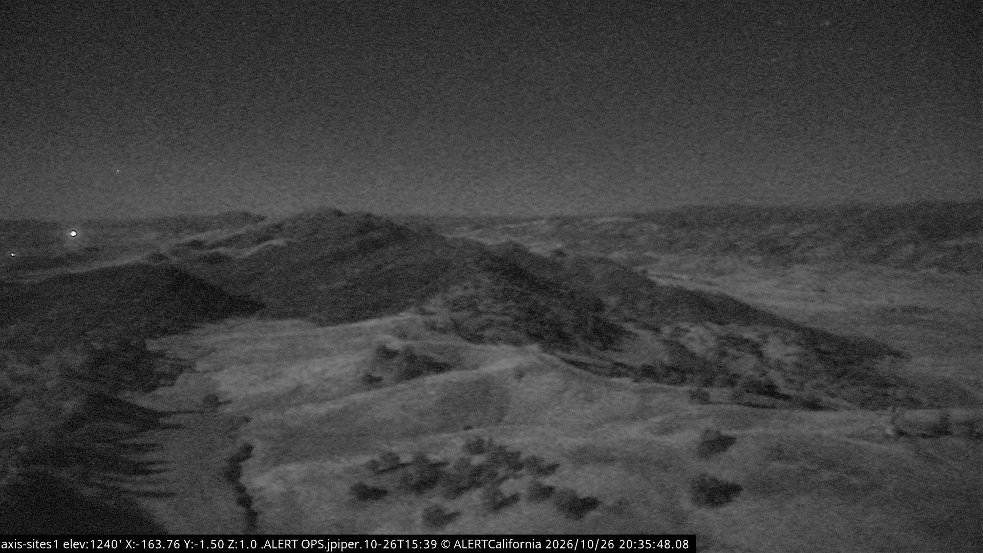
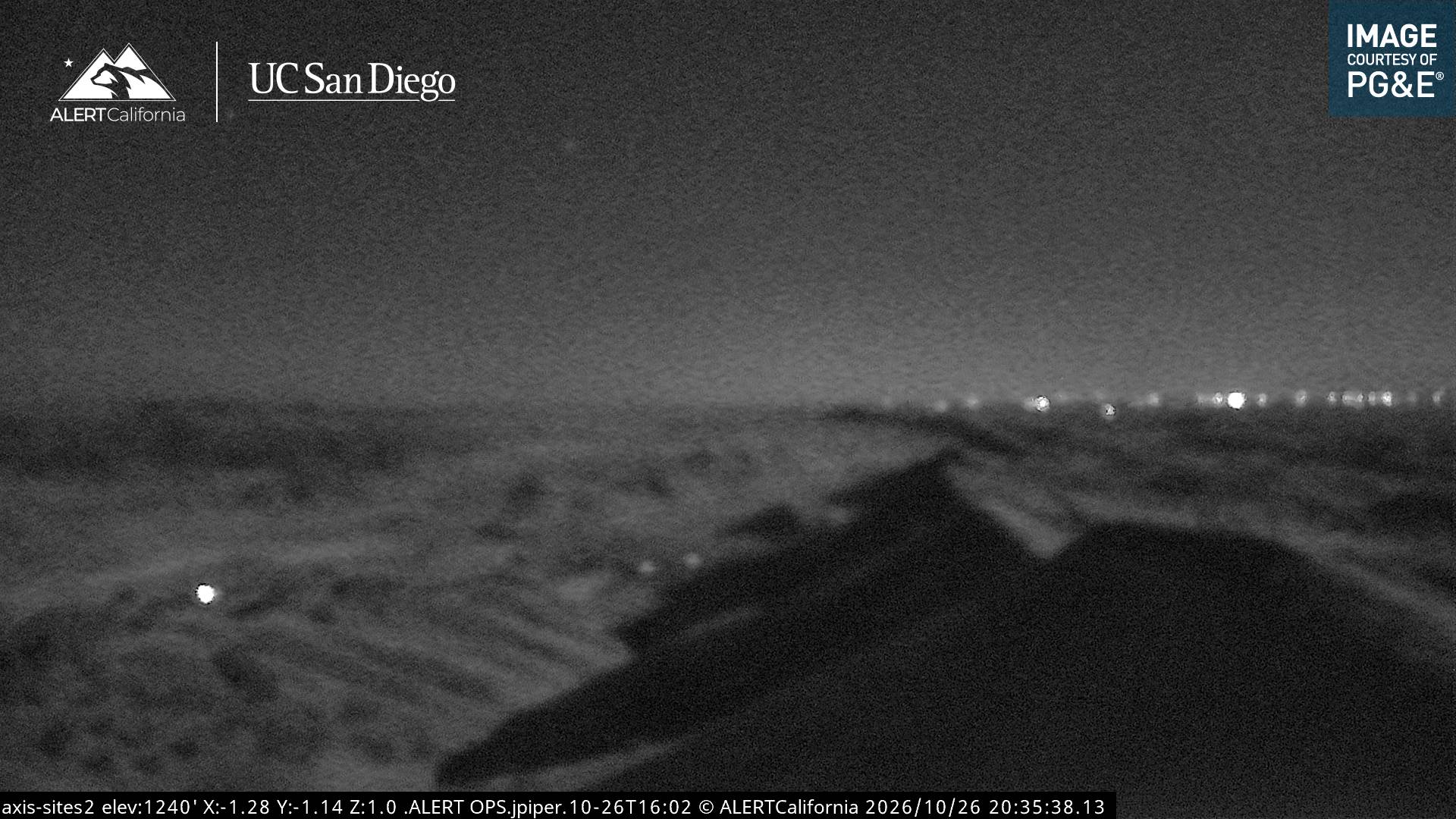
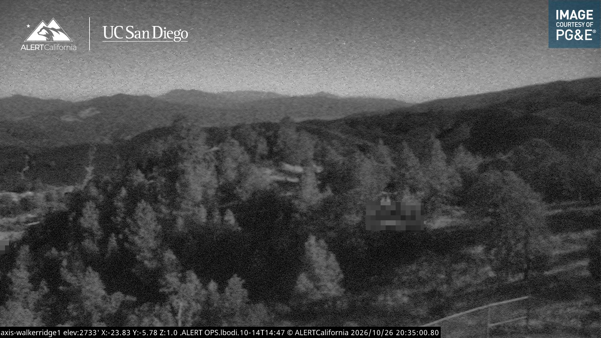
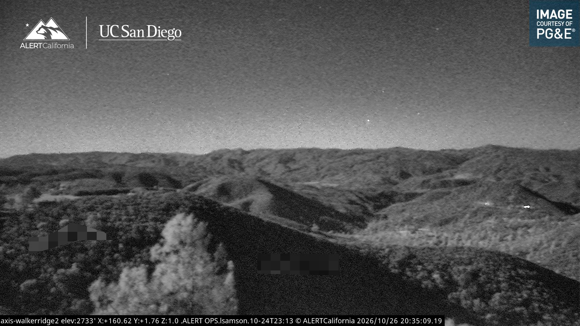
Bear Valley Buttes周辺のライブカメラ
Bear Valley Buttes周辺の歴史
- Pawnee Fire2018