Bear Valley Buttes
2,166 ft660 m
Mountain · Inner Coast Ranges · United States
Bear Valley Buttes is a geologic feature that overlooks Bear Valley in Colusa County, California. The Buttes are approximately 1.5 miles long and its highest peak stands at 2,166 ft above sea level.
From Wikipedia, CC BY-SA · Read the article
At the summit · forecast for 11:00 AM
54 °FClear · wind 7 mph from the NE
 See it in 3D
Weather at the summit of Bear Valley Buttes, 2,166 ft
- 11:00 AM54 °FNE 7 mph–
- 2:00 PM59 °FNE 6 mph–
- 5:00 PM58 °FNE 6 mph–
- 8:00 PM51 °FW 3 mph–
- 11:00 PM50 °FW 3 mph–
- 2:00 AM48 °FNW 5 mph–
- 5:00 AM47 °FNW 5 mph–
- 8:00 AM47 °FNW 6 mph–
| Day | Sky | High / low | Rain | Wind up to |
|---|---|---|---|---|
| Today | Clear | 60 °F / 50 °F | – | 7 mph |
| Wed, Oct 28 | Mostly clear | 65 °F / 46 °F | – | 10 mph |
| Thu, Oct 29 | Cloudy | 63 °F / 50 °F | – | 8 mph |
| Fri, Oct 30 | Mostly clear | 62 °F / 44 °F | – | 6 mph |
| Sat, Oct 31 | Partly cloudy | 61 °F / 44 °F | 0.01 in | 7 mph |
| Sun, Nov 1 | Clear | 59 °F / 43 °F | – | 13 mph |
| Mon, Nov 2 | Mostly clear | 67 °F / 51 °F | – | 11 mph |
Forecast by MET Norway (CC BY 4.0), updated 10:17 AM PDT. Times are local.
Facts
- What it is
- Mountain
- Height above sea level
- 2,166 ft (660 m)
- Range
- Inner Coast Ranges
- Country
- United States
- Coordinates
- 39.186°N 122.444°W
- Source
- Wikidata, CC0
Bear Valley Buttes
Bear Valley Buttes is a geologic feature that overlooks Bear Valley in Colusa County, California. The Buttes are approximately 1.5 miles long and its highest peak stands at 2,166 ft above sea level. The Buttes are composed of the upturned marine sediments of the Great Valley Sequence that once formerly made up the floor of the Central Valley.
From Wikipedia, CC BY-SA · Read the article
Peaks near Bear Valley Buttes
- Snow Mountain East7,055 ft · 34 km awayOn the map
- Saint John Mountain6,749 ft · 35 km awayOn the map
- Mount Konocti4,305 ft · 36 km awayOn the map
- Cobb Mountain4,724 ft · 49 km awayOn the map
- Sutter Buttes2,123 ft · 55 km awayOn the map
- Mount Saint Helena4,327 ft · 60 km awayOn the map
- Little Blue PeakMountain · 31 km awayOn the map
- Seigler MountainMountain · 42 km awayOn the map
- Mount HannahMountain · 42 km awayOn the map
- Elk MountainMountain · 44 km awayOn the map
Highest mountains in United States
- Denali20,308 ftOn the map
- Mount Saint Elias18,009 ftOn the map
- Mount Foraker17,402 ftOn the map
- Mount Bona16,535 ftOn the map
- Mount Blackburn16,390 ftOn the map
- Mount Sanford16,237 ftOn the map
- Mount Vancouver15,787 ftOn the map
- Mount Churchill15,636 ftOn the map
- Mount Fairweather15,325 ftOn the map
- Mount Hubbard14,951 ftOn the map
Webcams near Bear Valley Buttes
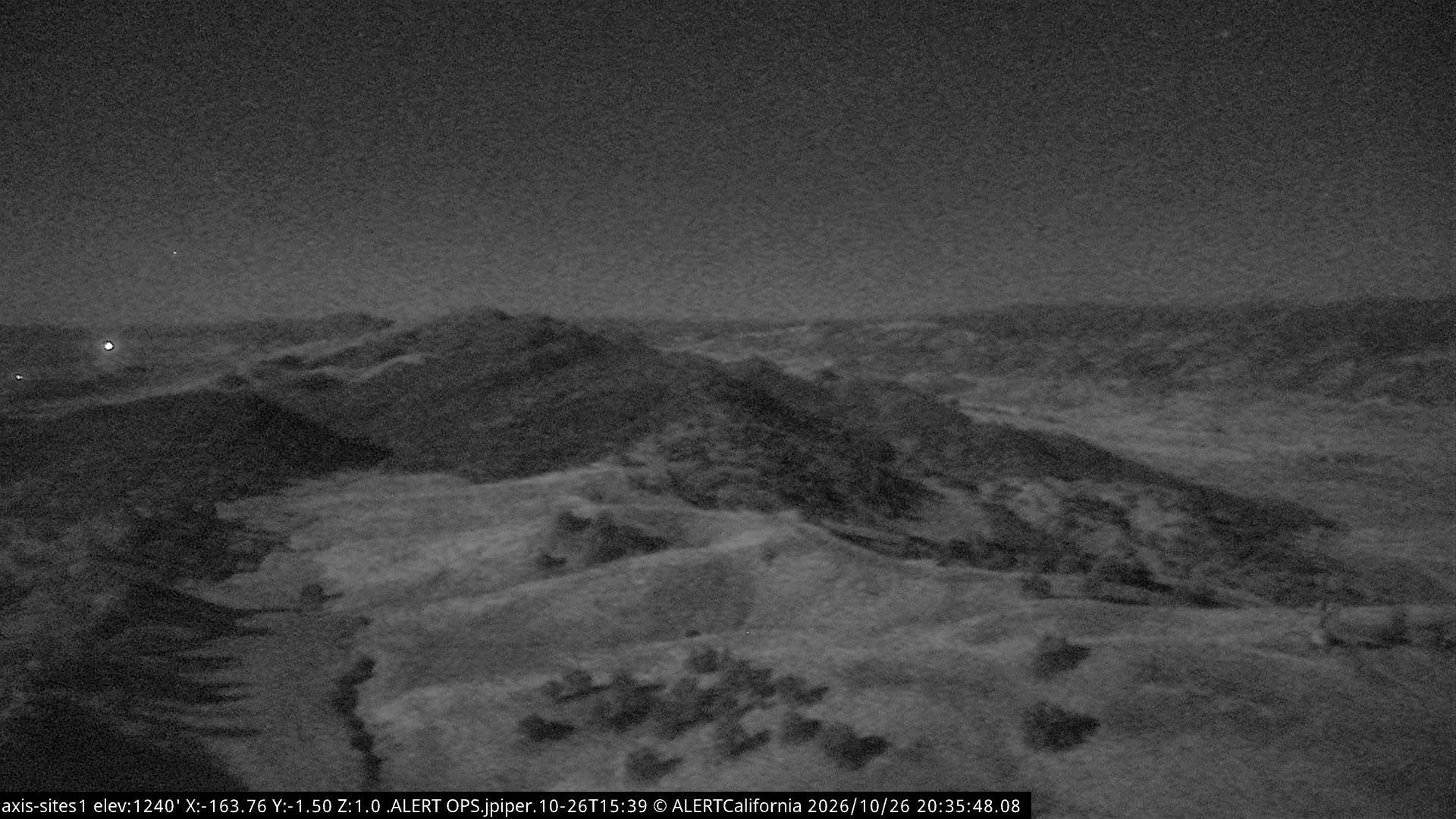
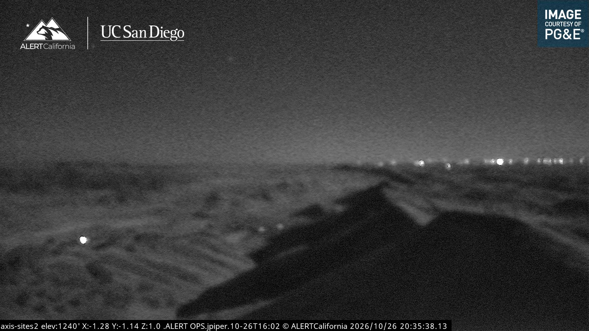
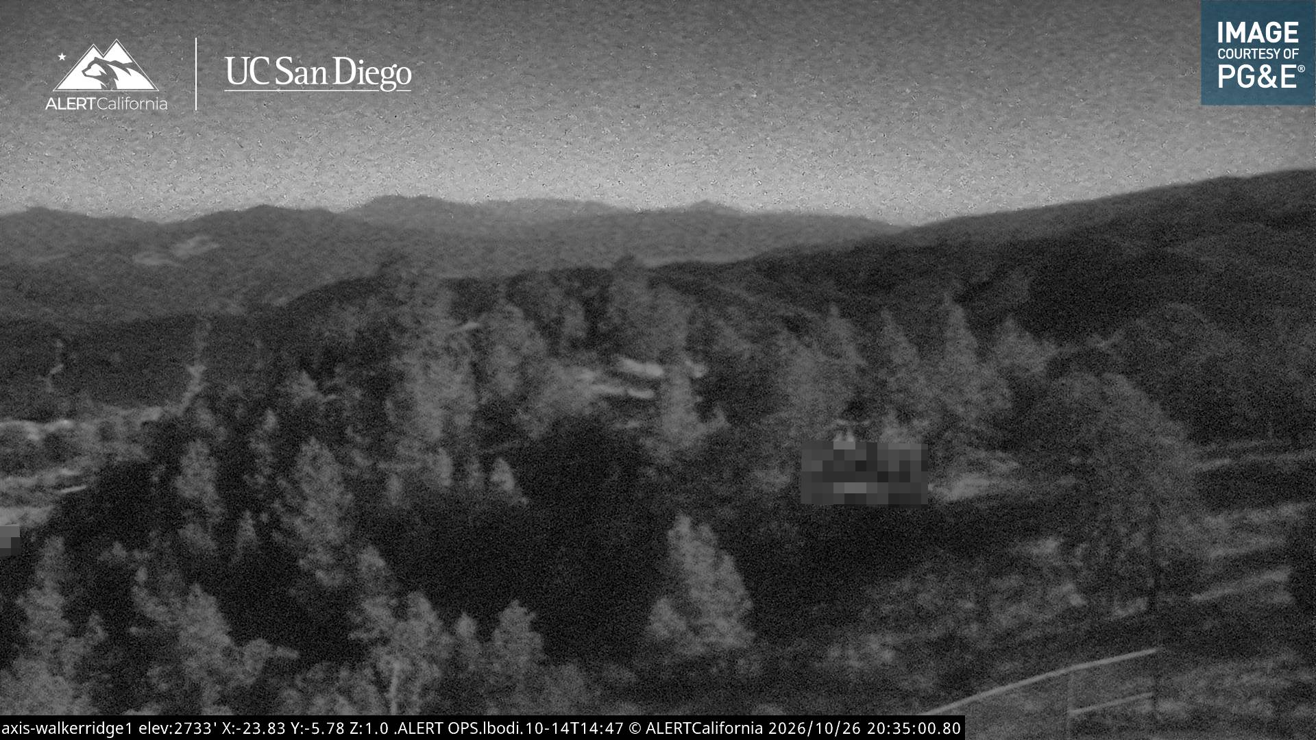
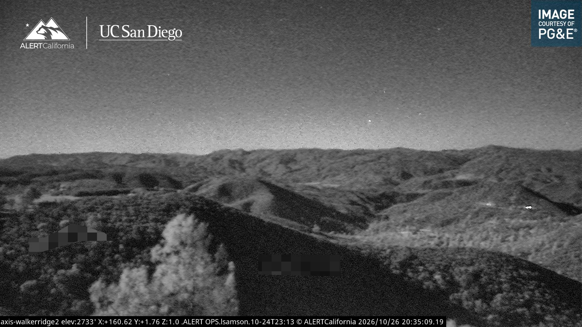
History around Bear Valley Buttes
- Pawnee Fire2018