Mountains in United States
See it in 3DLittle Blue Peak
Mountain · Pacific Coast Ranges · United States
Little Blue Peak is highest point on Little Blue Ridge in the Northern Coast Ranges, located on the boundary of Yolo and Lake counties in northern California.
From Wikipedia, CC BY-SA · Read the article
At the summit · forecast for 2:00 PM
59 °FClear · wind 5 mph from the NW
Little Blue Peak weather forecast
- 2:00 PM59 °FNW 5 mph–
- 5:00 PM58 °FNW 9 mph–
- 8:00 PM48 °FN 4 mph–
- 11:00 PM45 °FN 3 mph–
- 2:00 AM43 °FN 4 mph–
- 5:00 AM41 °FN 4 mph–
- 8:00 AM40 °FNW 5 mph–
- 11:00 AM55 °FNW 6 mph–
| Day | Sky | High / low | Rain | Wind up to |
|---|---|---|---|---|
| Wed, Oct 28 | Mostly clear | 61 °F / 40 °F | – | 7 mph |
| Thu, Oct 29 | Cloudy | 60 °F / 42 °F | – | 7 mph |
| Fri, Oct 30 | Mostly clear | 60 °F / 42 °F | – | 6 mph |
| Sat, Oct 31 | Partly cloudy | 55 °F / 40 °F | 0 in | 10 mph |
| Sun, Nov 1 | Clear | 57 °F / 39 °F | – | 11 mph |
| Mon, Nov 2 | Partly cloudy | 65 °F / 49 °F | – | 11 mph |
| Tue, Nov 3 | Cloudy | 65 °F / 48 °F | – | 5 mph |
Forecast by MET Norway (CC BY 4.0), updated 12:17 PM PDT. Times are local.
Facts
- What it is
- Mountain
- Range
- Pacific Coast Ranges
- Country
- United States
- Coordinates
- 38.907°N 122.416°W
- Source
- Wikidata, CC0
Peaks near Little Blue Peak
- Cobb Mountain4,724 ft · 30 km awayOn the map
- Bear Valley Buttes2,166 ft · 31 km awayOn the map
- Mount Konocti4,305 ft · 31 km awayOn the map
- Mount Saint Helena4,327 ft · 32 km awayOn the map
- Iron Mountain2,287 ft · 42 km awayOn the map
- Mount Hood2,733 ft · 51 km awayOn the map
- Frog Woman Rock879 ft · 55 km awayOn the map
- Bennett Mountain1,909 ft · 58 km awayOn the map
- Harbin MountainMountain · 24 km awayOn the map
- Boggs MountainMountain · 25 km awayOn the map
Highest in the Pacific Coast Ranges
- Mount McNeil7,874 ftOn the map
- Snow Mountain East7,055 ftOn the map
- Fort Selkirk volcanic field4,065 ftOn the map
- Lyons Peak3,642 ftOn the map
- Crow Lagoon276 ftOn the map
Highest mountains in United States
- Denali20,308 ftOn the map
- Mount Saint Elias18,009 ftOn the map
- Mount Foraker17,402 ftOn the map
- Mount Bona16,535 ftOn the map
- Mount Blackburn16,390 ftOn the map
- Mount Sanford16,237 ftOn the map
- Mount Vancouver15,787 ftOn the map
- Mount Churchill15,636 ftOn the map
- Mount Fairweather15,325 ftOn the map
- Mount Hubbard14,951 ftOn the map
Webcams near Little Blue Peak
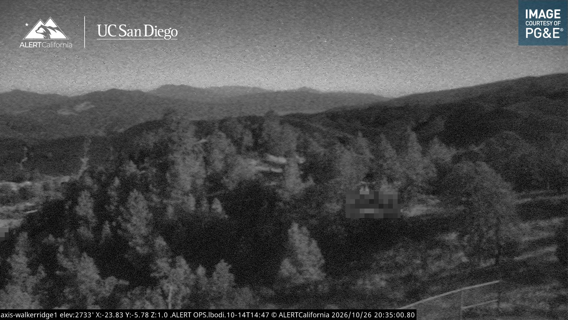
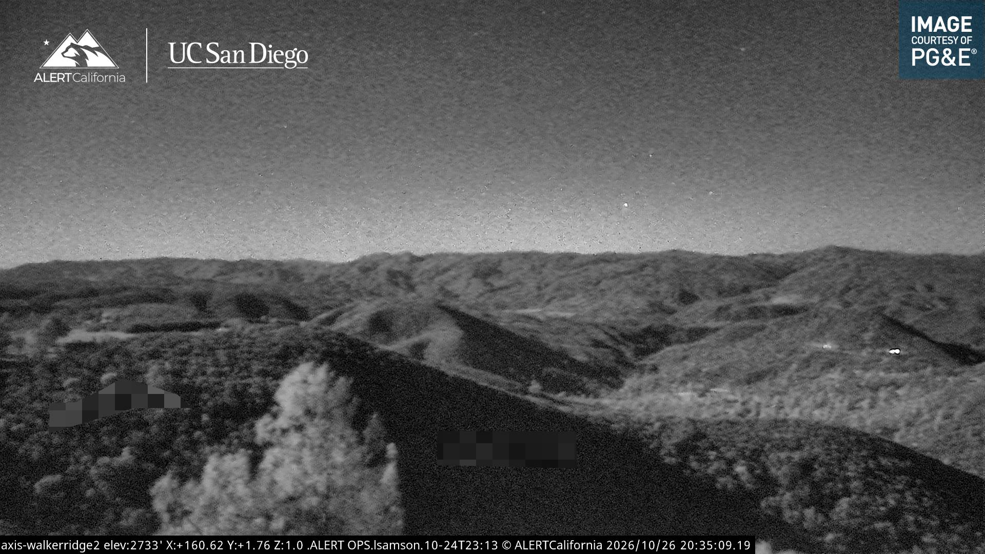
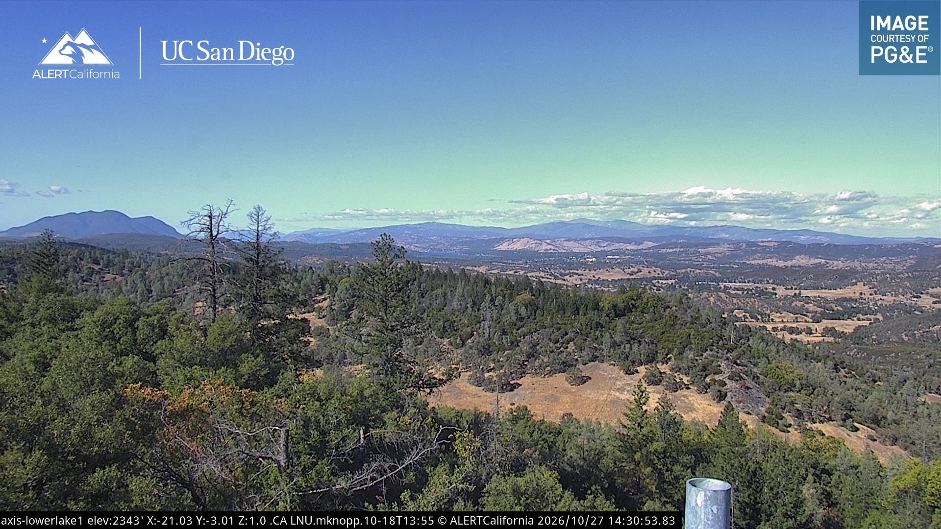
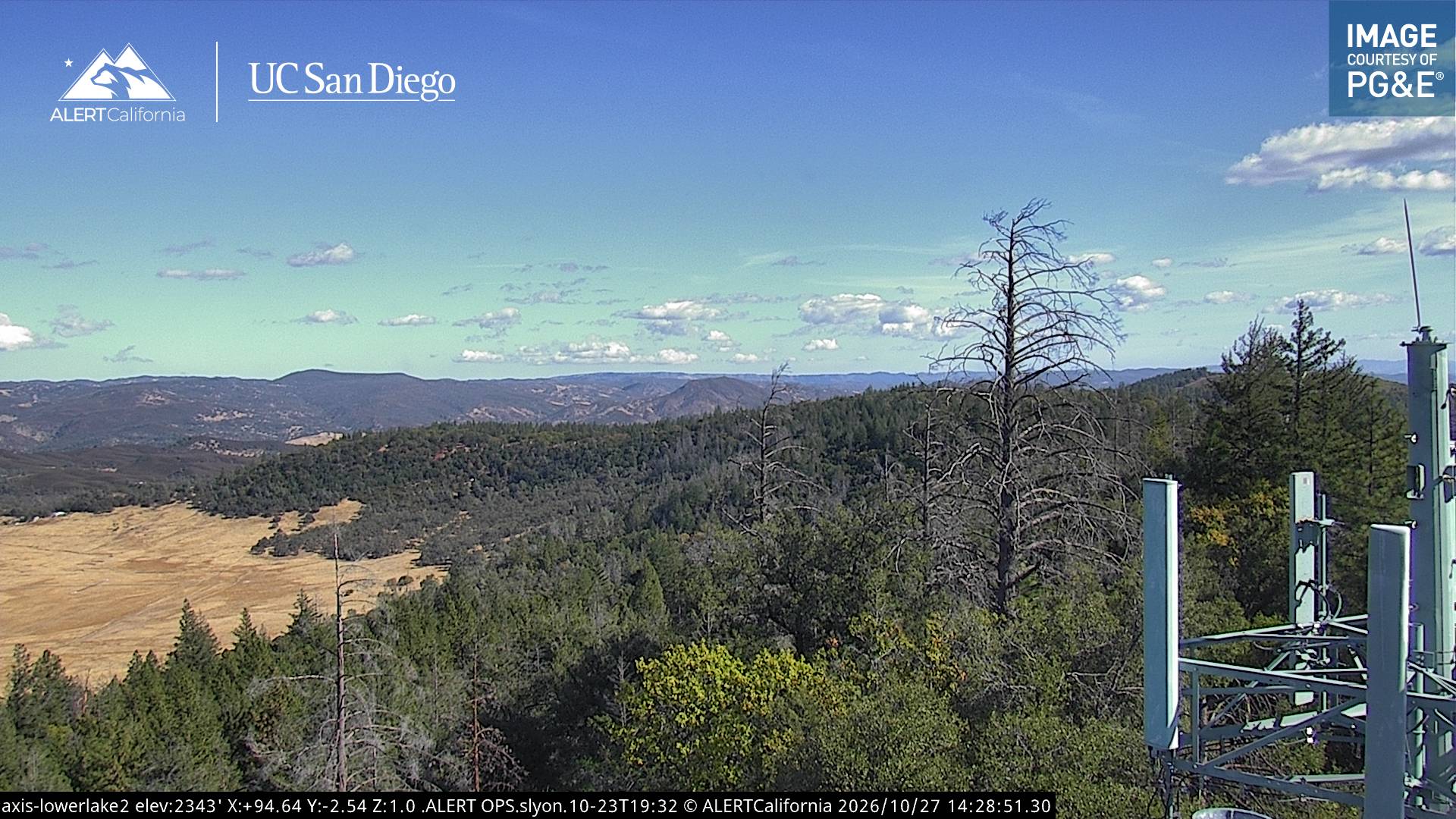
History around Little Blue Peak
- Sand Fire2019
- Rocky Fire2015
- Jerusalem Fire2015