Brassiere Hills
2,333 ft711 m
山 · アメリカ合衆国
The Brassiere Hills are a pair of summits in the City and Borough of Juneau, Alaska, United States. It is located at the northern end of Taku Inlet, 4.5 miles (7.2 km) north of Taku Point and 18 miles (29 km) northeast of the city of Juneau.
出典: Wikipedia、CC BY-SA · 記事を読む
山頂 · 19:00 の予報
31 °F晴れ · 北の風 16 mph
Brassiere Hills 山頂の天気(2,333 ft)
- 19:0031 °F北 16 mph–
- 22:0029 °F北 15 mph–
- 1:0028 °F北 14 mph–
- 4:0027 °F北 13 mph–
- 7:0026 °F北 13 mph–
- 10:0027 °F北 12 mph–
- 13:0030 °F北 13 mph–
- 16:0029 °F北 13 mph–
| 日付 | 天気 | 最高 / 最低 | 雨 | 最大風速 |
|---|---|---|---|---|
| 10月28日(水) | 晴れ | 30 °F / 25 °F | – | 15 mph |
| 10月29日(木) | 快晴 | 28 °F / 21 °F | – | 8 mph |
| 10月30日(金) | 快晴 | 27 °F / 21 °F | – | 6 mph |
| 10月31日(土) | 晴れ時々曇り | 28 °F / 24 °F | 0.01 インチ | 4 mph |
| 11月1日(日) | 大雪 | 33 °F / 30 °F | 0.8 インチ | 4 mph |
| 11月2日(月) | 曇り | 34 °F / 32 °F | 0.32 インチ | 4 mph |
| 11月3日(火) | みぞれ | 34 °F / 33 °F | 1.04 インチ | 2 mph |
MET Norway(CC BY 4.0)による予報。11:17 GMT-8 更新。時刻は現地時間です。
基本データ
- 種類
- 山
- 標高
- 2,333 ft (711 m)
- 座標
- 58.461°N 134.046°W
Brassiere Hills
Mountain summits in Alaska, United States
The Brassiere Hills are a pair of summits in the City and Borough of Juneau, Alaska, United States. It is located at the northern end of Taku Inlet, 4.5 miles (7.2 km) north of Taku Point and 18 miles (29 km) northeast of the city of Juneau. The peaks are 2,405 feet (733 m) and 2,360 feet (719 m) high and a stream named Zipper Creek runs between them.
出典: Wikipedia、CC BY-SA · 記事を読む
Brassiere Hills周辺の山
- Annex Peak4,094 ft · 12 km先地図上
- Camp 4 Peak4,531 ft · 18 km先地図上
- Amherst Peak4,777 ft · 20 km先地図上
- Mount Roberts3,819 ft · 25 km先地図上
- Gastineau Peak3,465 ft · 26 km先地図上
- Mount Juneau3,576 ft · 26 km先地図上
- Mount Bradley3,337 ft · 32 km先地図上
- Devils Paw8,584 ft · 32 km先地図上
- Table Top Mountain3,005 ft · 32 km先地図上
- Tolch Rock194 ft · 33 km先地図上
アメリカ合衆国の高い山
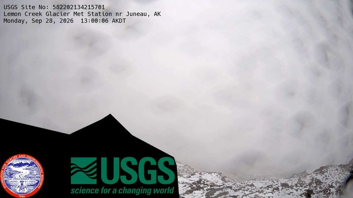
Brassiere Hills周辺のライブカメラ
Brassiere Hills周辺の町
- ジュノー28 km先