Brassiere Hills
2,333 英尺711 米
山 · 美国
The Brassiere Hills are a pair of summits in the City and Borough of Juneau, Alaska, United States. It is located at the northern end of Taku Inlet, 4.5 miles (7.2 km) north of Taku Point and 18 miles (29 km) northeast of the city of Juneau.
来自Wikipedia,CC BY-SA · 阅读文章
山顶 · 5:00 的预报
27 °F少云 · 北风 11 英里/小时
Brassiere Hills山顶天气,2,333 英尺
- 5:0027 °F北 11 英里/小时–
- 8:0025 °F北 12 英里/小时–
- 11:0029 °F北 12 英里/小时–
- 14:0031 °F北 12 英里/小时–
- 17:0027 °F北 13 英里/小时–
- 20:0026 °F北 13 英里/小时–
- 23:0025 °F北 9 英里/小时–
- 2:0024 °F北 7 英里/小时–
| 日期 | 天气 | 最高 / 最低 | 雨 | 最大风速 |
|---|---|---|---|---|
| 今天 | 少云 | 31 °F / 25 °F | – | 14 英里/小时 |
| 10月29日周四 | 晴 | 29 °F / 22 °F | – | 8 英里/小时 |
| 10月30日周五 | 多云 | 29 °F / 21 °F | – | 6 英里/小时 |
| 10月31日周六 | 中雪 | 30 °F / 21 °F | 0.24 英寸 | 3 英里/小时 |
| 11月1日周日 | 大雪 | 33 °F / 29 °F | 0.77 英寸 | 5 英里/小时 |
| 11月2日周一 | 雨夹雪 | 34 °F / 32 °F | 0.36 英寸 | 2 英里/小时 |
| 11月3日周二 | 雨夹雪 | 35 °F / 33 °F | 0.63 英寸 | 4 英里/小时 |
预报来自 MET Norway(CC BY 4.0),更新于 GMT-8 03:19。时间均为当地时间。
基本信息
Brassiere Hills
Mountain summits in Alaska, United States
The Brassiere Hills are a pair of summits in the City and Borough of Juneau, Alaska, United States. It is located at the northern end of Taku Inlet, 4.5 miles (7.2 km) north of Taku Point and 18 miles (29 km) northeast of the city of Juneau. The peaks are 2,405 feet (733 m) and 2,360 feet (719 m) high and a stream named Zipper Creek runs between them.
来自Wikipedia,CC BY-SA · 阅读文章
Brassiere Hills附近的山峰
- Annex Peak4,094 英尺 · 12 公里外地图上
- Camp 4 Peak4,531 英尺 · 18 公里外地图上
- Amherst Peak4,777 英尺 · 20 公里外地图上
- Mount Roberts3,819 英尺 · 25 公里外地图上
- Gastineau Peak3,465 英尺 · 26 公里外地图上
- 朱諾山3,576 英尺 · 26 公里外地图上
- Mount Bradley3,337 英尺 · 32 公里外地图上
- Devils Paw8,584 英尺 · 32 公里外地图上
- Table Top Mountain3,005 英尺 · 32 公里外地图上
- Tolch Rock194 英尺 · 33 公里外地图上
美国最高的山
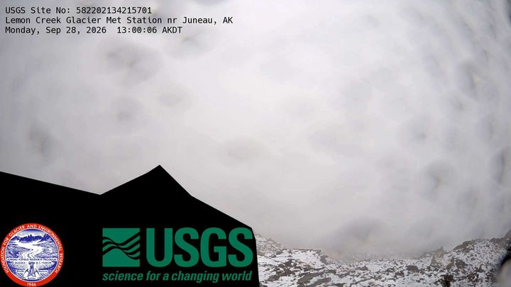
Brassiere Hills附近的网络摄像头
Brassiere Hills附近的城镇
- 朱諾28 公里外