美国的山
3D 查看Amherst Peak
4,777 英尺1,456 米
山 · 边界山脉 · 美国
Amherst Peak is a mountain in the city and borough of Juneau, Alaska, United States. It is a part of the Boundary Ranges of the Coast Mountains in western North America. It is near the Taku Glacier, 0.2 miles (0.32 km) northwest of Echo Pass and 14 miles (23 km) north of the city of Juneau.
来自Wikipedia,CC BY-SA · 阅读文章
山顶 · 9:00 的预报
17 °F雾 · 北风 12 英里/小时
Amherst Peak山顶天气,4,777 英尺
- 9:0017 °F北 12 英里/小时–
- 12:0018 °F北 13 英里/小时–
- 15:0019 °F东北 13 英里/小时–
- 18:0015 °F北 11 英里/小时–
- 21:0014 °F东北 9 英里/小时–
- 0:0016 °F北 7 英里/小时–
- 3:0016 °F北 6 英里/小时–
- 6:0016 °F北 5 英里/小时–
| 日期 | 天气 | 最高 / 最低 | 雨 | 最大风速 |
|---|---|---|---|---|
| 今天 | 雾 | 19 °F / 14 °F | – | 13 英里/小时 |
| 10月29日周四 | 晴 | 22 °F / 16 °F | – | 7 英里/小时 |
| 10月30日周五 | 多云 | 18 °F / 14 °F | – | 5 英里/小时 |
| 10月31日周六 | 阴 | 21 °F / 15 °F | 0.04 英寸 | 2 英里/小时 |
| 11月1日周日 | 中雪 | 24 °F / 20 °F | 0.59 英寸 | 7 英里/小时 |
| 11月2日周一 | 阴 | 26 °F / 21 °F | 0.39 英寸 | 5 英里/小时 |
| 11月3日周二 | 小雪 | 25 °F / 16 °F | 0.05 英寸 | 6 英里/小时 |
预报来自 MET Norway(CC BY 4.0),更新于 GMT-8 17:17。时间均为当地时间。
基本信息
Amherst Peak附近的山峰
- Tolch Rock194 英尺 · 16 公里外地图上
- Mount Ernest Gruening5,512 英尺 · 18 公里外地图上
- Brassiere Hills2,333 英尺 · 20 公里外地图上
- 朱諾山3,576 英尺 · 20 公里外地图上
- Annex Peak4,094 英尺 · 21 公里外地图上
- Auke Mountain1,795 英尺 · 23 公里外地图上
- Gastineau Peak3,465 英尺 · 24 公里外地图上
- Camp 15 Peak5,321 英尺 · 24 公里外地图上
- Mount Roberts3,819 英尺 · 24 公里外地图上
- Table Top Mountain3,005 英尺 · 24 公里外地图上
边界山脉最高峰
- Mount Ratz10,138 英尺地图上
- Kates Needle10,016 英尺地图上
- Mount Burkett9,793 英尺地图上
- Chutine Peak9,547 英尺地图上
- Devils Thumb9,077 英尺地图上
- Devils Paw8,584 英尺地图上
- Whiting Peak8,281 英尺地图上
- Mount London7,631 英尺地图上
- Amherst Peak4,777 英尺地图上
美国最高的山
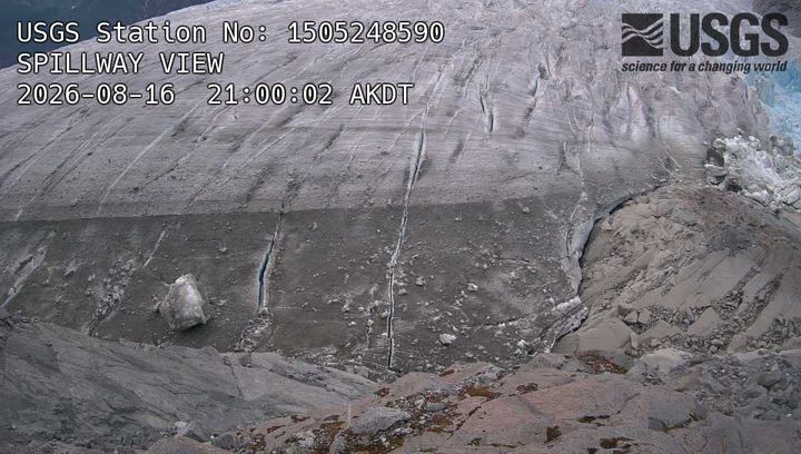
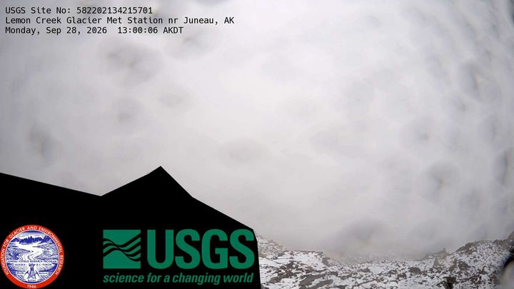
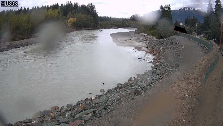
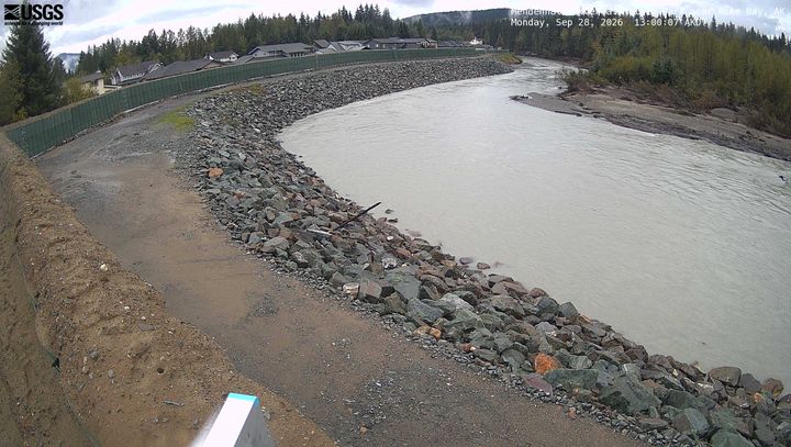
Amherst Peak附近的网络摄像头
Amherst Peak附近的城镇
- 朱諾22 公里外