Mountains in United States
See it in 3DAmherst Peak
4,777 ft1,456 m
Mountain · Boundary Ranges · United States
Amherst Peak is a mountain in the city and borough of Juneau, Alaska, United States. It is a part of the Boundary Ranges of the Coast Mountains in western North America. It is near the Taku Glacier, 0.2 miles (0.32 km) northwest of Echo Pass and 14 miles (23 km) north of the city of Juneau.
From Wikipedia, CC BY-SA · Read the article
At the summit · forecast for 10:00 PM
11 °FFog · wind 9 mph from the NW
Weather at the summit of Amherst Peak, 4,777 ft
- 10:00 PM11 °FNW 9 mph–
- 1:00 AM15 °FN 10 mph–
- 4:00 AM20 °FN 12 mph–
- 7:00 AM20 °FN 12 mph–
- 10:00 AM22 °FN 13 mph–
- 1:00 PM24 °FN 15 mph–
- 4:00 PM23 °FNE 17 mph–
- 7:00 PM23 °FNE 16 mph–
| Day | Sky | High / low | Rain | Wind up to |
|---|---|---|---|---|
| Tue, Oct 27 | Partly cloudy | 24 °F / 12 °F | – | 17 mph |
| Wed, Oct 28 | Mostly clear | 20 °F / 14 °F | – | 13 mph |
| Thu, Oct 29 | Clear | 18 °F / 16 °F | – | 7 mph |
| Fri, Oct 30 | Partly cloudy | 15 °F / 14 °F | – | 4 mph |
| Sat, Oct 31 | Cloudy | 20 °F / 12 °F | 0.01 in | 2 mph |
| Sun, Nov 1 | Heavy snow | 26 °F / 18 °F | 1.07 in | 4 mph |
| Mon, Nov 2 | Heavy snow | 27 °F / 25 °F | 0.9 in | 3 mph |
Forecast by MET Norway (CC BY 4.0), updated 09:20 PM AKDT. Times are local.
Facts
- What it is
- Mountain
- Height above sea level
- 4,777 ft (1,456 m)
- Range
- Boundary Ranges
- Country
- United States
- Coordinates
- 58.501°N 134.373°W
- Source
- Wikidata, CC0
Peaks near Amherst Peak
- Tolch Rock194 ft · 16 km awayOn the map
- Mount Ernest Gruening5,512 ft · 18 km awayOn the map
- Brassiere Hills2,333 ft · 20 km awayOn the map
- Mount Juneau3,576 ft · 20 km awayOn the map
- Annex Peak4,094 ft · 21 km awayOn the map
- Auke Mountain1,795 ft · 23 km awayOn the map
- Gastineau Peak3,465 ft · 24 km awayOn the map
- Camp 15 Peak5,321 ft · 24 km awayOn the map
- Mount Roberts3,819 ft · 24 km awayOn the map
- Table Top Mountain3,005 ft · 24 km awayOn the map
Highest in the Boundary Ranges
- Mount Ratz10,138 ftOn the map
- Kates Needle10,016 ftOn the map
- Mount Burkett9,793 ftOn the map
- Chutine Peak9,547 ftOn the map
- Devils Thumb9,077 ftOn the map
- Devils Paw8,584 ftOn the map
- Whiting Peak8,281 ftOn the map
- Mount London7,631 ftOn the map
- Amherst Peak4,777 ftOn the map
Highest mountains in United States
- Denali20,308 ftOn the map
- Mount Saint Elias18,009 ftOn the map
- Mount Foraker17,402 ftOn the map
- Mount Bona16,535 ftOn the map
- Mount Blackburn16,390 ftOn the map
- Mount Sanford16,237 ftOn the map
- Mount Vancouver15,787 ftOn the map
- Mount Churchill15,636 ftOn the map
- Mount Fairweather15,325 ftOn the map
- Mount Hubbard14,951 ftOn the map
Webcams near Amherst Peak
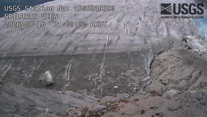
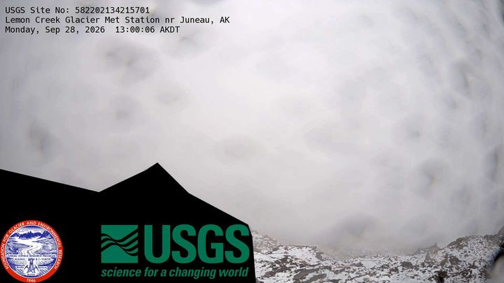
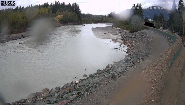
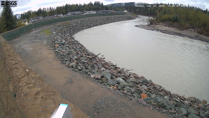
Towns near Amherst Peak
- Juneau22 km away