Mount Ernest Gruening
5,512 ft1,680 m
Mountain · Coast Mountains · United States
Mount Ernest Gruening is a 6,015+ ft glaciated mountain summit located in the Boundary Ranges of the Coast Mountains, in the U.S. state of Alaska.
From Wikipedia, CC BY-SA · Read the article
At the summit · forecast for 12:00 AM
15 °FPartly cloudy · wind 8 mph from the NE
 See it in 3D
Weather at the summit of Mount Ernest Gruening, 5,512 ft
- 12:00 AM15 °FNE 8 mph–
- 3:00 AM13 °FNE 8 mph–
- 6:00 AM11 °FNE 7 mph–
- 9:00 AM12 °FNE 8 mph–
- 12:00 PM16 °FNE 8 mph–
- 3:00 PM17 °FE 9 mph–
- 6:00 PM10 °FE 7 mph–
- 9:00 PM9 °FE 6 mph–
| Day | Sky | High / low | Rain | Wind up to |
|---|---|---|---|---|
| Today | Fog | 17 °F / 9 °F | – | 9 mph |
| Thu, Oct 29 | Clear | 22 °F / 10 °F | – | 6 mph |
| Fri, Oct 30 | Partly cloudy | 16 °F / 9 °F | – | 6 mph |
| Sat, Oct 31 | Cloudy | 20 °F / 11 °F | 0.05 in | 3 mph |
| Sun, Nov 1 | Light snow | 23 °F / 17 °F | 0.44 in | 9 mph |
| Mon, Nov 2 | Cloudy | 24 °F / 17 °F | 0.33 in | 4 mph |
| Tue, Nov 3 | Cloudy | 23 °F / 12 °F | 0.02 in | 2 mph |
Forecast by MET Norway (CC BY 4.0), updated 05:17 PM AKDT. Times are local.
Facts
- What it is
- Mountain
- Height above sea level
- 5,512 ft (1,680 m)
- Range
- Coast Mountains
- Country
- United States
- Coordinates
- 58.569°N 134.654°W
- Source
- Wikidata, CC0
Mount Ernest Gruening
Mountain in Alaska, U.S.
Mount Ernest Gruening is a 6,015+ ft glaciated mountain summit located in the Boundary Ranges of the Coast Mountains, in the U.S. state of Alaska. The long ridge-like mountain is situated between the Herbert Glacier and Eagle Glacier at the west edge of the Juneau Icefield, 20 mi (32 km) northwest of Juneau, Alaska, and 8 mi (13 km) east of Favorite Channel, on land managed by Tongass National Forest.
From Wikipedia, CC BY-SA · Read the article
Peaks near Mount Ernest Gruening
- Camp 15 Peak5,321 ft · 15 km awayOn the map
- Tolch Rock194 ft · 17 km awayOn the map
- Amherst Peak4,777 ft · 18 km awayOn the map
- Auke Mountain1,795 ft · 20 km awayOn the map
- Mount Blachnitzky6,348 ft · 29 km awayOn the map
- Mount Juneau3,576 ft · 31 km awayOn the map
- Table Top Mountain3,005 ft · 32 km awayOn the map
- Mount Troy2,841 ft · 35 km awayOn the map
- Nun Mountain4,180 ft · 36 km awayOn the map
- Gastineau Peak3,465 ft · 36 km awayOn the map
Highest in the Coast Mountains
- Mount Bute9,219 ftOn the map
- Birkenhead Peak8,222 ftOn the map
- Anahim Volcanic Belt7,907 ftOn the map
- Mount Skukum Volcanic Complex7,815 ftOn the map
- Mount Priestley7,736 ftOn the map
- Alligator Lake volcanic complex7,274 ftOn the map
- Atlin Mountain6,713 ftOn the map
- Tetrahedron Peak5,705 ftOn the map
- Mount Ernest Gruening5,512 ftOn the map
Highest mountains in United States
- Denali20,308 ftOn the map
- Mount Saint Elias18,009 ftOn the map
- Mount Foraker17,402 ftOn the map
- Mount Bona16,535 ftOn the map
- Mount Blackburn16,390 ftOn the map
- Mount Sanford16,237 ftOn the map
- Mount Vancouver15,787 ftOn the map
- Mount Churchill15,636 ftOn the map
- Mount Fairweather15,325 ftOn the map
- Mount Hubbard14,951 ftOn the map
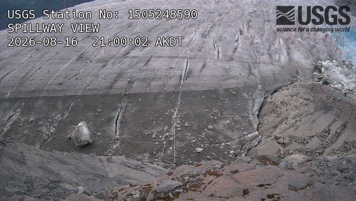
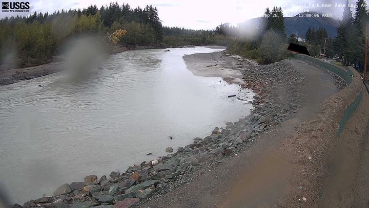
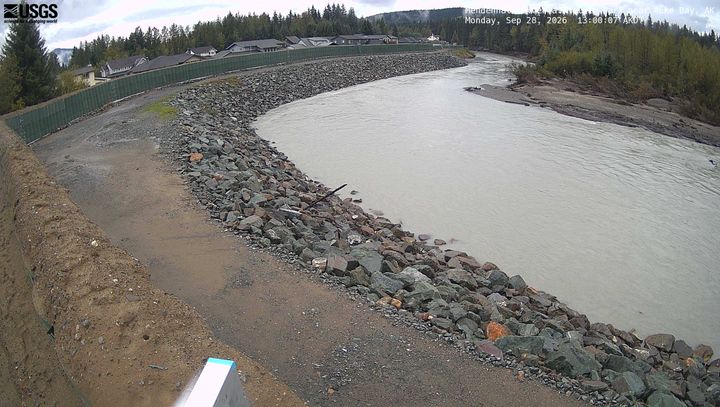
Webcams near Mount Ernest Gruening
Towns near Mount Ernest Gruening
- Juneau33 km away