Facts
- What it is
- Mountain
- Height above sea level
- 1,739 m (5,705 ft)
- Prominence
- 1,164 m (3,819 ft)
- Range
- Coast Mountains
- Country
- Canada
- Coordinates
- 49.608°N 123.567°W
- Source
- Wikidata, CC0
Peaks near Tetrahedron Peak
- The Red Tusk2,147 m · 27 km awayOn the map
- The Castle510 m · 28 km awayOn the map
- Serratus Mountain2,321 m · 28 km awayOn the map
- Monmouth Creek complex510 m · 28 km awayOn the map
- Mount Tantalus2,608 m · 29 km awayOn the map
- Mount Brunswick1,788 m · 30 km awayOn the map
- Mount Hanover1,748 m · 30 km awayOn the map
- Mount Harvey1,652 m · 30 km awayOn the map
- Unnecessary Mountain1,548 m · 32 km awayOn the map
- Stawamus Chief Mountain702 m · 32 km awayOn the map
Highest in the Coast Mountains
- Mount Bute2,810 mOn the map
- Birkenhead Peak2,506 mOn the map
- Anahim Volcanic Belt2,410 mOn the map
- Mount Skukum Volcanic Complex2,382 mOn the map
- Mount Priestley2,358 mOn the map
- Alligator Lake volcanic complex2,217 mOn the map
- Atlin Mountain2,046 mOn the map
- Tetrahedron Peak1,739 mOn the map
- Mount Ernest Gruening5,512 ftOn the map
Highest mountains in Canada
- Mount Logan5,959 mOn the map
- Mount Saint Elias18,009 ftOn the map
- Mount Lucania5,240 mOn the map
- King Peak5,173 mOn the map
- Mount Steele5,073 mOn the map
- Mount Wood4,850 mOn the map
- Mount Vancouver15,787 ftOn the map
- Mount Slaggard4,742 mOn the map
- Mount Macaulay4,700 mOn the map
- Mount Fairweather15,325 ftOn the map
Webcams near Tetrahedron Peak
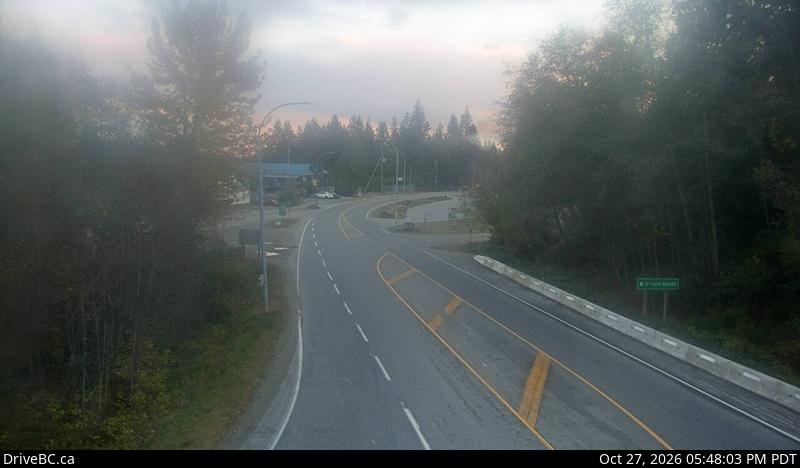
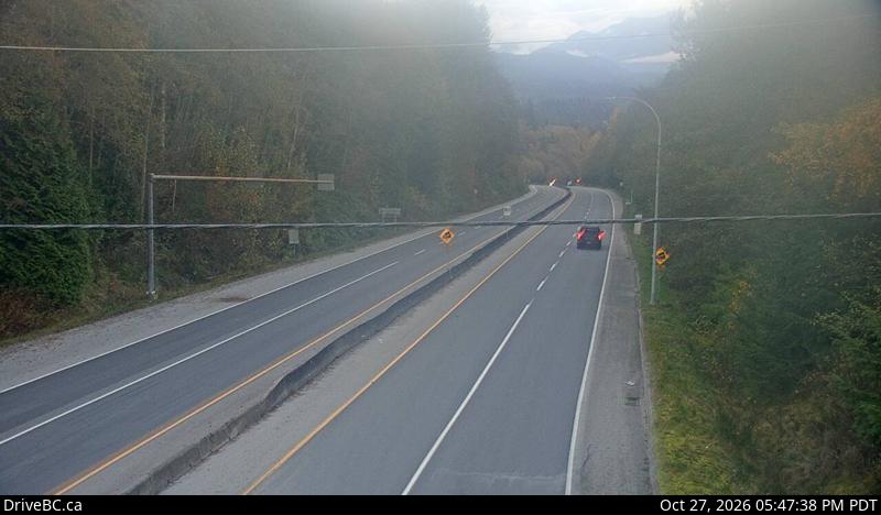
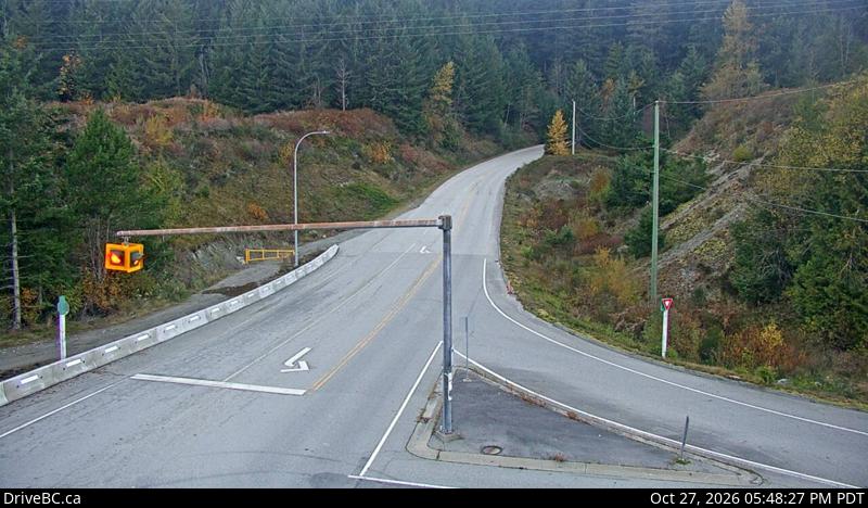
Towns near Tetrahedron Peak
- Squamish31 km away
- West Vancouver43 km away
- North Vancouver48 km away
- Vancouver51 km away
- Riley Park53 km away
- Nanaimo56 km away