 See it in 3D
Facts
- What it is
- Mountain
- Height above sea level
- 1,748 m (5,735 ft)
- Prominence
- 228 m (748 ft)
- Range
- Britannia Range
- Country
- Canada
- Coordinates
- 49.499°N 123.184°W
- Source
- Wikidata, CC0
Peaks near Mount Hanover
- Mount Brunswick1,788 m · 1.8 km awayOn the map
- Mount Harvey1,652 m · 2.9 km awayOn the map
- Unnecessary Mountain1,548 m · 5.7 km awayOn the map
- Crown Mountain1,504 m · 12 km awayOn the map
- Goat Mountain1,401 m · 13 km awayOn the map
- Mount Burwell1,541 m · 13 km awayOn the map
- Ben Lomond1,654 m · 15 km awayOn the map
- Grouse Mountain1,231 m · 15 km awayOn the map
- Mount Fromme1,185 m · 16 km awayOn the map
- Sky Pilot Mountain2,031 m · 17 km awayOn the map
Highest in the Britannia Range
- Sky Pilot Mountain2,031 mOn the map
- Mount Brunswick1,788 mOn the map
- Mount Hanover1,748 mOn the map
Highest mountains in Canada
- Mount Logan5,959 mOn the map
- Mount Saint Elias18,009 ftOn the map
- Mount Lucania5,240 mOn the map
- King Peak5,173 mOn the map
- Mount Steele5,073 mOn the map
- Mount Wood4,850 mOn the map
- Mount Vancouver15,787 ftOn the map
- Mount Slaggard4,742 mOn the map
- Mount Macaulay4,700 mOn the map
- Mount Fairweather15,325 ftOn the map
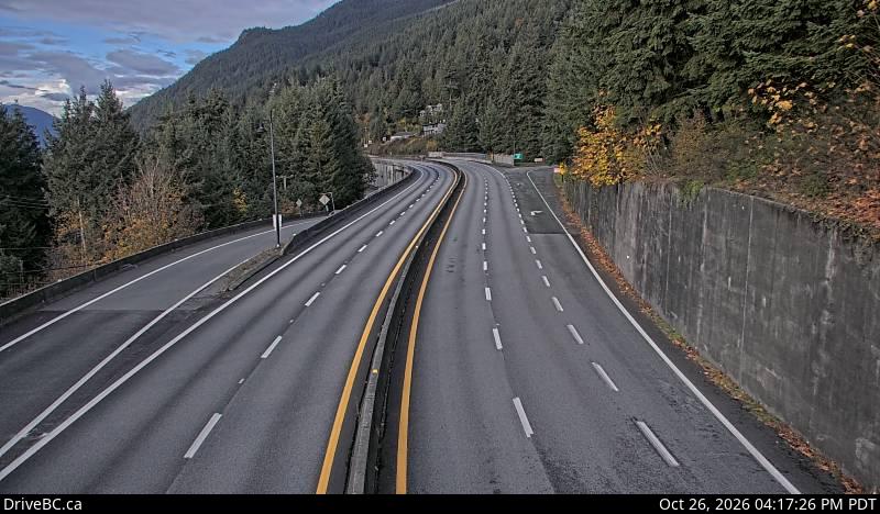
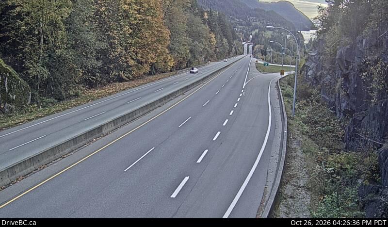
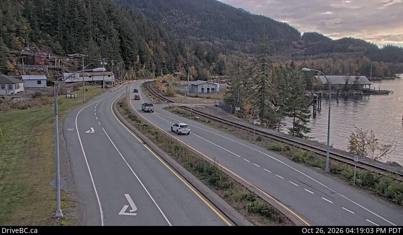
Webcams near Mount Hanover

History around Mount Hanover
Towns near Mount Hanover
- West Vancouver19 km away
- North Vancouver22 km away
- Squamish22 km away
- Vancouver28 km away
- Riley Park29 km away
- Burnaby31 km away