Ben Lomond
1,654 m5,427 ft
Mountain · North Shore Mountains · Canada
Ben Lomond, formerly Ben Lomond Mountain, elevation 1,654 metres (5,427 ft), is a mountain in the North Shore Mountains of southwestern British Columbia, Canada.
From Wikipedia, CC BY-SA · Read the article
At the summit · forecast for 5:00 PM
-3 °CPartly cloudy · wind 3 km/h from the SE
 See it in 3D
Weather at the summit of Ben Lomond, 1,654 m
- 5:00 PM-3 °CSE 3 km/h–
- 8:00 PM-6 °CE 4 km/h2.6 mm
- 11:00 PM-6 °CE 6 km/h0.7 mm
- 2:00 AM-7 °CE 6 km/h3 mm
- 5:00 AM-7 °CE 7 km/h2.5 mm
- 8:00 AM-6 °CE 6 km/h2.8 mm
- 11:00 AM-4 °CE 6 km/h3.7 mm
- 2:00 PM-3 °CE 5 km/h1.9 mm
| Day | Sky | High / low | Rain | Wind up to |
|---|---|---|---|---|
| Thu, Oct 29 | Snow | -3 °C / -7 °C | 17.8 mm | 8 km/h |
| Fri, Oct 30 | Snow | 0 °C / -9 °C | 3.7 mm | 8 km/h |
| Sat, Oct 31 | Partly cloudy | -1 °C / -14 °C | – | 4 km/h |
| Sun, Nov 1 | Clear | -0 °C / -14 °C | – | 3 km/h |
| Mon, Nov 2 | Cloudy | 1 °C / -11 °C | – | 2 km/h |
| Tue, Nov 3 | Partly cloudy | 2 °C / -6 °C | – | 3 km/h |
| Wed, Nov 4 | Clear | 4 °C / -9 °C | – | 5 km/h |
Forecast by MET Norway (CC BY 4.0), updated 10:19 AM PDT. Times are local.
Facts
- What it is
- Mountain
- Height above sea level
- 1,654 m (5,427 ft)
- Range
- North Shore Mountains
- Country
- Canada
- Coordinates
- 49.597°N 123.050°W
- Source
- Wikidata, CC0
Ben Lomond (North Shore Mountains)
Mountain in British Columbia, Canada
Ben Lomond, formerly Ben Lomond Mountain, elevation 1,654 metres (5,427 ft), is a mountain in the North Shore Mountains of southwestern British Columbia, Canada. It is located southeast of the town of Squamish and immediately west of Loch Lomond and was named in association with that lake, both mountain and lake being named in reference to the mountain and lake of that name in Scotland.
From Wikipedia, CC BY-SA · Read the article
Peaks near Ben Lomond
- Sky Pilot Mountain2,031 m · 4.9 km awayOn the map
- Stawamus Chief Mountain702 m · 12 km awayOn the map
- Slhanay665 m · 12 km awayOn the map
- Mount Hanover1,748 m · 15 km awayOn the map
- The Castle510 m · 15 km awayOn the map
- Monmouth Creek complex510 m · 15 km awayOn the map
- Mount Brunswick1,788 m · 16 km awayOn the map
- Mount Burwell1,541 m · 17 km awayOn the map
- Mount Harvey1,652 m · 17 km awayOn the map
- Round Mountain1,646 m · 19 km awayOn the map
Highest in the North Shore Mountains
- Ben Lomond1,654 mOn the map
- Mount Burwell1,541 mOn the map
- Mount Seymour1,449 mOn the map
Highest mountains in Canada
- Mount Logan5,959 mOn the map
- Mount Saint Elias18,009 ftOn the map
- Mount Lucania5,240 mOn the map
- King Peak5,173 mOn the map
- Mount Steele5,073 mOn the map
- Mount Wood4,850 mOn the map
- Mount Vancouver15,787 ftOn the map
- Mount Slaggard4,742 mOn the map
- Mount Macaulay4,700 mOn the map
- Mount Fairweather15,325 ftOn the map
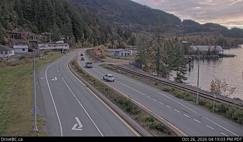
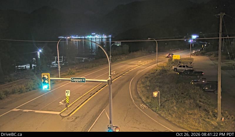
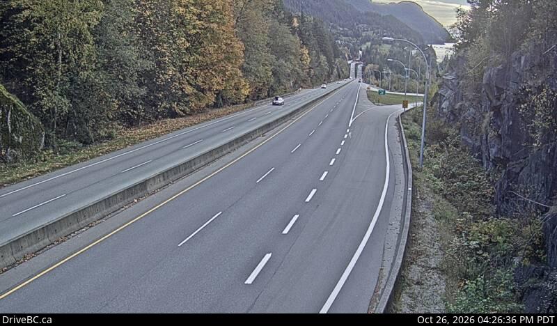
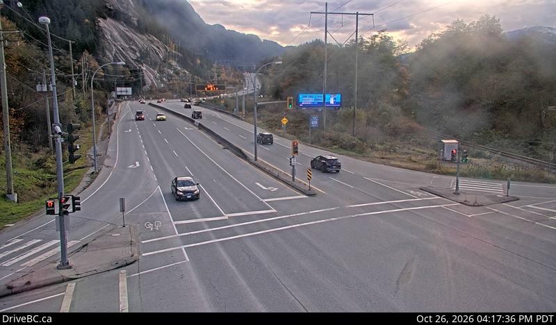
Webcams near Ben Lomond
History around Ben Lomond
Towns near Ben Lomond
- Squamish14 km away
- West Vancouver31 km away
- North Vancouver31 km away
- Burnaby37 km away
- Port Moody39 km away
- Vancouver39 km away