美国的山
3D 查看Camp 4 Peak
4,531 英尺1,381 米
山 · 边界山脉 · 美国
Camp 4 Peak is a mountain in the city and borough of Juneau, Alaska, United States. It is a part of the Boundary Ranges of the Coast Mountains in western North America.
来自Wikipedia,CC BY-SA · 阅读文章
山顶 · 6:00 的预报
22 °F多云 · 北风 12 英里/小时
Camp 4 Peak山顶天气,4,531 英尺
- 6:0022 °F北 12 英里/小时–
- 9:0022 °F北 14 英里/小时–
- 12:0026 °F北 13 英里/小时–
- 15:0026 °F北 13 英里/小时–
- 18:0023 °F北 15 英里/小时–
- 21:0022 °F北 15 英里/小时–
- 0:0019 °F北 13 英里/小时–
- 3:0017 °F北 13 英里/小时–
| 日期 | 天气 | 最高 / 最低 | 雨 | 最大风速 |
|---|---|---|---|---|
| 今天 | 多云 | 26 °F / 20 °F | – | 16 英里/小时 |
| 10月28日周三 | 少云 | 21 °F / 14 °F | – | 14 英里/小时 |
| 10月29日周四 | 晴 | 22 °F / 13 °F | – | 8 英里/小时 |
| 10月30日周五 | 晴 | 18 °F / 14 °F | – | 5 英里/小时 |
| 10月31日周六 | 多云 | 20 °F / 17 °F | 0.01 英寸 | 5 英里/小时 |
| 11月1日周日 | 大雪 | 25 °F / 22 °F | 0.76 英寸 | 5 英里/小时 |
| 11月2日周一 | 阴 | 26 °F / 25 °F | 0.3 英寸 | 4 英里/小时 |
预报来自 MET Norway(CC BY 4.0),更新于 GMT-8 03:19。时间均为当地时间。
基本信息
Camp 4 Peak
Mountain in Alaska, United States
Camp 4 Peak is a mountain in the city and borough of Juneau, Alaska, United States. It is a part of the Boundary Ranges of the Coast Mountains in western North America. On the divide between East and West Twin Glaciers, it is located 5 miles north-northwest of Twin Glacier Lake and 27 miles northeast of the city of Juneau.
来自Wikipedia,CC BY-SA · 阅读文章
Camp 4 Peak附近的山峰
- Devils Paw8,584 英尺 · 15 公里外地图上
- Brassiere Hills2,333 英尺 · 18 公里外地图上
- Dipyramid6,073 英尺 · 19 公里外地图上
- Amherst Peak4,777 英尺 · 27 公里外地图上
- Annex Peak4,094 英尺 · 30 公里外地图上
- Mount Blachnitzky6,348 英尺 · 33 公里外地图上
- Camp 15 Peak5,321 英尺 · 36 公里外地图上
- Boundary Peak 967,287 英尺 · 38 公里外地图上
- Mount Ernest Gruening5,512 英尺 · 41 公里外地图上
- 朱諾山3,576 英尺 · 42 公里外地图上
边界山脉最高峰
- Mount Ratz10,138 英尺地图上
- Kates Needle10,016 英尺地图上
- Mount Burkett9,793 英尺地图上
- Chutine Peak9,547 英尺地图上
- Devils Thumb9,077 英尺地图上
- Devils Paw8,584 英尺地图上
- Whiting Peak8,281 英尺地图上
- Mount London7,631 英尺地图上
- Camp 4 Peak4,531 英尺地图上
美国最高的山
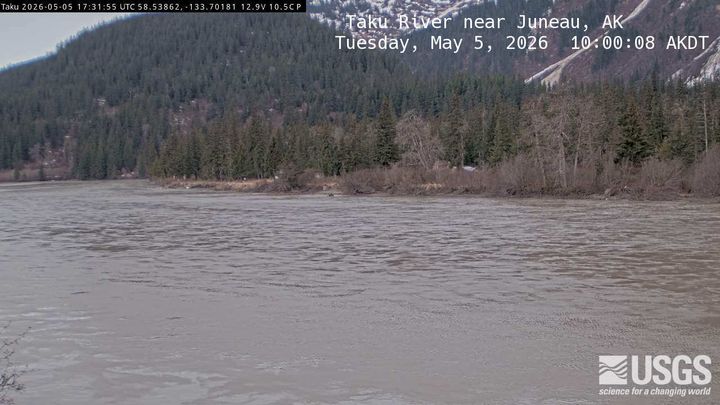
Camp 4 Peak附近的网络摄像头
Camp 4 Peak附近的城镇
- 朱諾44 公里外