コロンビアの山
Cerro de Las Baldías
山 · コロンビア
La Serranía de las Baldías se encuentra localizado en el Altiplano norte de Antioquia, sobre la cordillera central, en el Departamento de Antioquia (Colombia), entre los 2.700 y los 3.160 m.s.n.m, y tiene un área de 860 hectáreas, siendo así el páramo más pequeño de Colombia.
出典: Wikipedia(スペイン語)、CC BY-SA · 記事を読む
山頂 · 1:00 の予報
9 °C霧 · 東の風 3 km/h
 3D で見る
Cerro de Las Baldíasの天気予報
- 1:009 °C東 3 km/h–
- 4:008 °C北東 3 km/h–
- 7:009 °C北東 4 km/h–
- 10:0017 °C東 6 km/h1 mm
- 13:0018 °C西 7 km/h7.7 mm
- 16:0013 °C北 5 km/h2.3 mm
- 19:0010 °C北東 2 km/h0.1 mm
- 22:0010 °C東 4 km/h0.5 mm
| 日付 | 天気 | 最高 / 最低 | 雨 | 最大風速 |
|---|---|---|---|---|
| 今日 | 強い雨 | 18 °C / 8 °C | 11.5 mm | 7 km/h |
| 10月31日(土) | 雨 | 17 °C / 9 °C | 4.3 mm | 6 km/h |
| 11月1日(日) | 雨 | 12 °C / 9 °C | 12.3 mm | 5 km/h |
| 11月2日(月) | 強い雨 | 14 °C / 10 °C | 17.7 mm | 6 km/h |
| 11月3日(火) | 強い雨 | 13 °C / 9 °C | 14.2 mm | 4 km/h |
| 11月4日(水) | 強い雨 | 16 °C / 8 °C | 8 mm | 2 km/h |
| 11月5日(木) | 強い雨 | 12 °C / 9 °C | 16.4 mm | 4 km/h |
MET Norway(CC BY 4.0)による予報。14:20 GMT-5 更新。時刻は現地時間です。
基本データ
- 種類
- 山
- 座標
- 6.332°N 75.649°W
Cerro de Las Baldías周辺の山
- Cerro El Volador82 m · 10 km先地図上
- Cerro Nutibara1,551 m · 13 km先地図上
- エル・ペニョール・グアタペ2,135 m · 53 km先地図上
- Alto de Santa Elena山 · 20 km先地図上
- Alto de Minas丘 · 35 km先地図上
- Cerro Tusa山 · 43 km先地図上
コロンビアの高い山
- クリストバル・コロン山5,775 m地図上
- Pico La Reina5,535 m地図上
- リタクバ・ブランコ5,410 m地図上
- ネバドデルルイス火山5,389 m地図上
- ネバド・デル・ウイラ5,364 m地図上
- トリマ山5,200 m地図上
- サンタ・イザベル火山4,945 m地図上
- クンバル火山4,764 m地図上
- Nevado del Quindío4,760 m地図上
- プラセ山4,756 m地図上
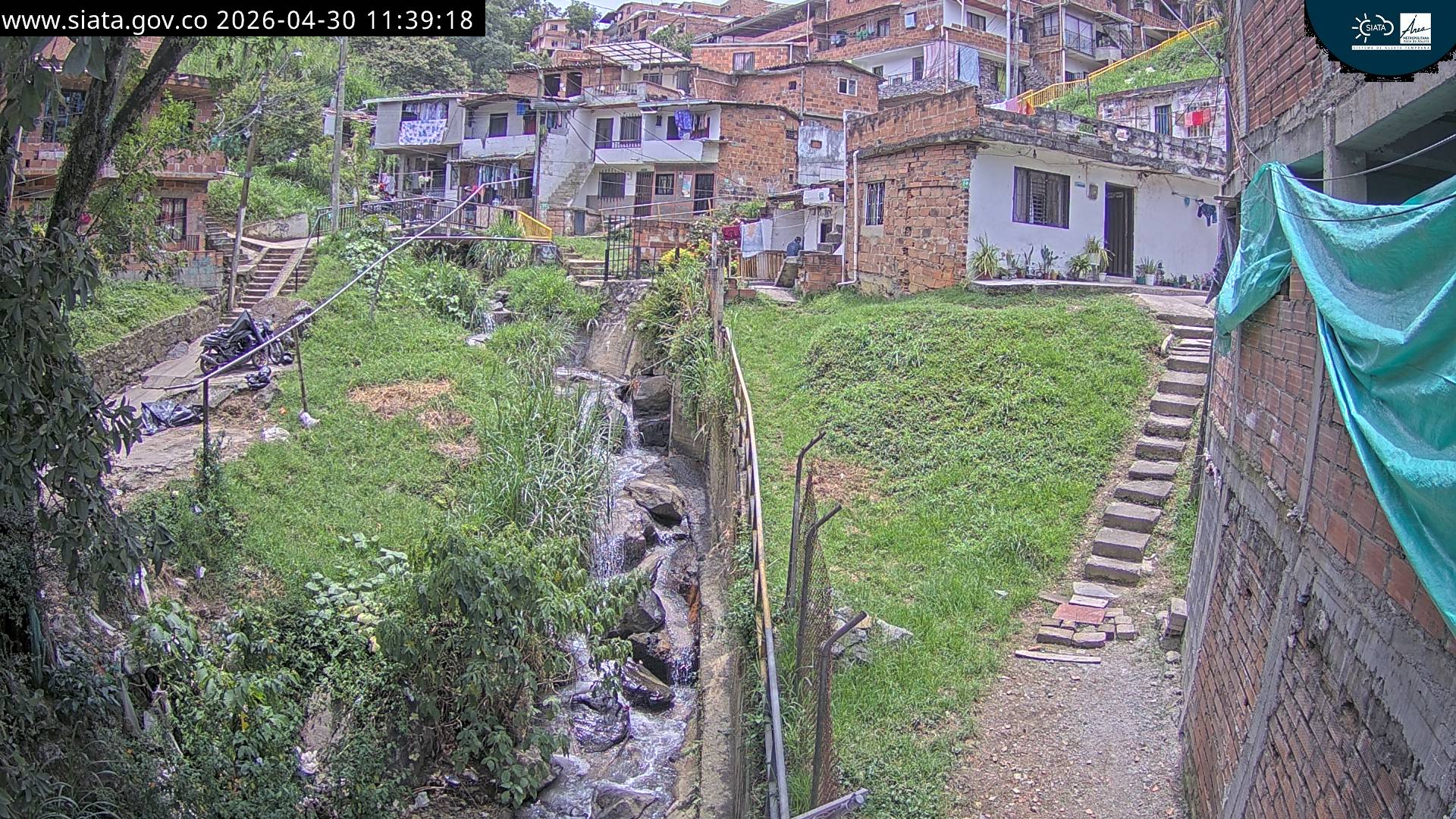
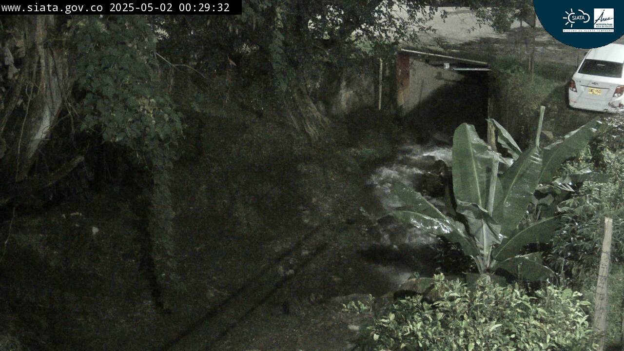
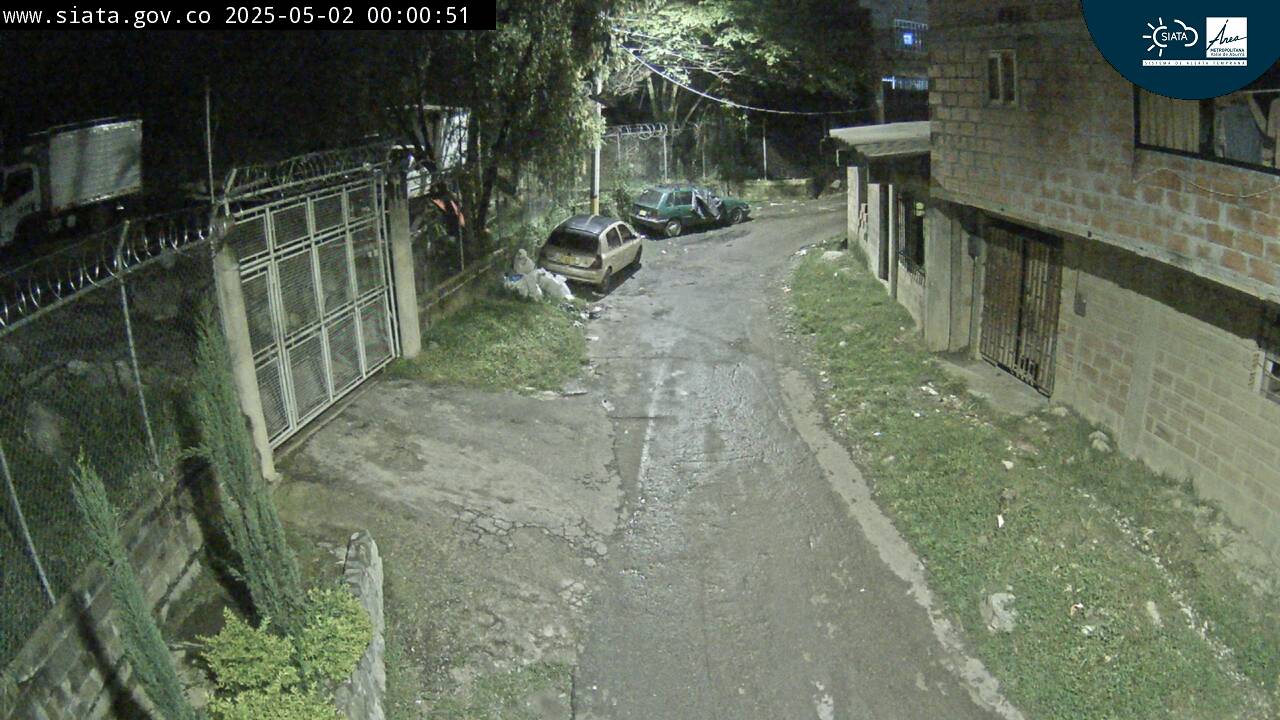
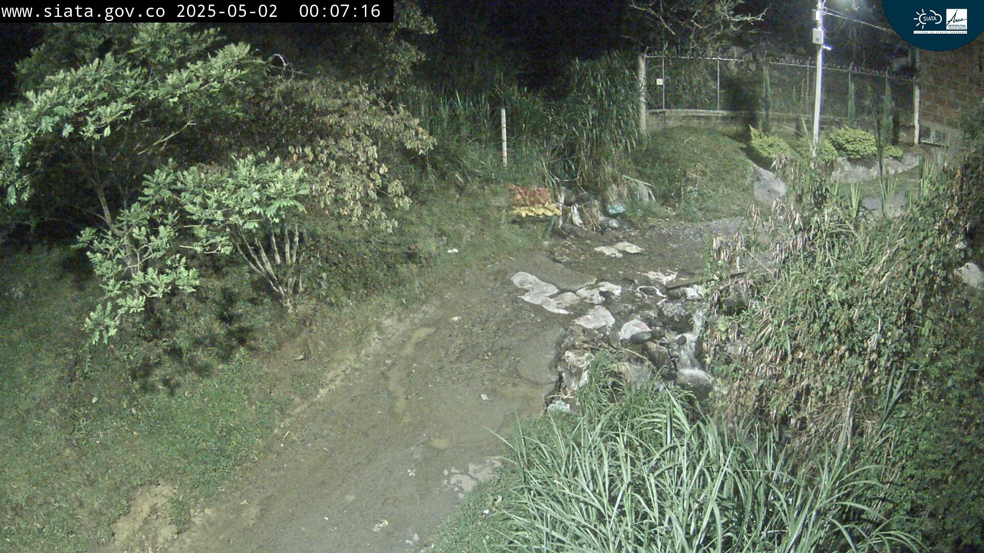
Cerro de Las Baldías周辺のライブカメラ
Cerro de Las Baldías周辺の歴史
Cerro de Las Baldías周辺の町
- Bello10 km先
- Medellín13 km先
- Copacabana16 km先
- Itagüí17 km先
- Envigado18 km先
- La Estrella19 km先