Mountains in Colombia
See it in 3DCerro de Las Baldías
Mountain · Colombia
At the summit · forecast for 4:00 AM
9 °CFog · wind 4 km/h from the E
Cerro de Las Baldías weather forecast
- 4:00 AM9 °CE 4 km/h–
- 7:00 AM10 °CE 5 km/h0.2 mm
- 10:00 AM16 °CE 7 km/h–
- 1:00 PM17 °CE 8 km/h6.7 mm
- 4:00 PM13 °CE 4 km/h0.4 mm
- 7:00 PM11 °CE 4 km/h–
- 10:00 PM10 °CE 3 km/h–
- 1:00 AM10 °CE 5 km/h0.3 mm
| Day | Sky | High / low | Rain | Wind up to |
|---|---|---|---|---|
| Today | Rain | 18 °C / 8 °C | 7.3 mm | 12 km/h |
| Thu, Oct 29 | Heavy rain | 19 °C / 9 °C | 12.6 mm | 8 km/h |
| Fri, Oct 30 | Heavy rain | 17 °C / 7 °C | 16.9 mm | 8 km/h |
| Sat, Oct 31 | Heavy rain | 17 °C / 9 °C | 14.5 mm | 6 km/h |
| Sun, Nov 1 | Rain | 11 °C / 9 °C | 16.9 mm | 4 km/h |
| Mon, Nov 2 | Heavy rain | 13 °C / 9 °C | 15.1 mm | 5 km/h |
| Tue, Nov 3 | Heavy rain | 16 °C / 9 °C | 8.2 mm | 3 km/h |
Forecast by MET Norway (CC BY 4.0), updated 03:19 AM GMT-5. Times are local.
Facts
- What it is
- Mountain
- Country
- Colombia
- Coordinates
- 6.332°N 75.649°W
- Source
- Wikidata, CC0
Peaks near Cerro de Las Baldías
- Cerro El Volador82 m · 10 km awayOn the map
- Cerro Nutibara1,551 m · 13 km awayOn the map
- El Peñón de Guatapé2,135 m · 53 km awayOn the map
- Alto de Santa ElenaMountain · 20 km awayOn the map
- Alto de MinasHill · 35 km awayOn the map
- Cerro TusaMountain · 43 km awayOn the map
Highest mountains in Colombia
- Pico Cristóbal Colón5,775 mOn the map
- Pico La Reina5,535 mOn the map
- Ritacuba Blanco5,410 mOn the map
- Nevado del Ruiz5,389 mOn the map
- Nevado del Huila5,364 mOn the map
- Nevado del Tolima5,200 mOn the map
- Santa Isabel4,945 mOn the map
- Cumbal4,764 mOn the map
- Nevado del Quindío4,760 mOn the map
- Puracé4,756 mOn the map
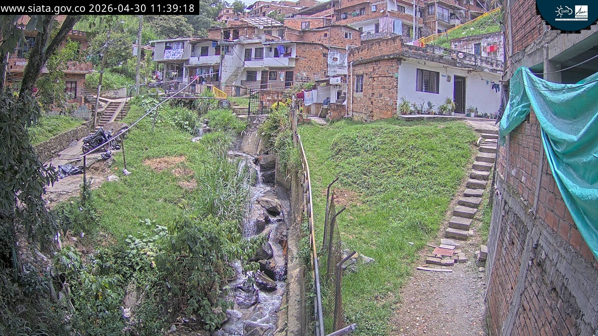
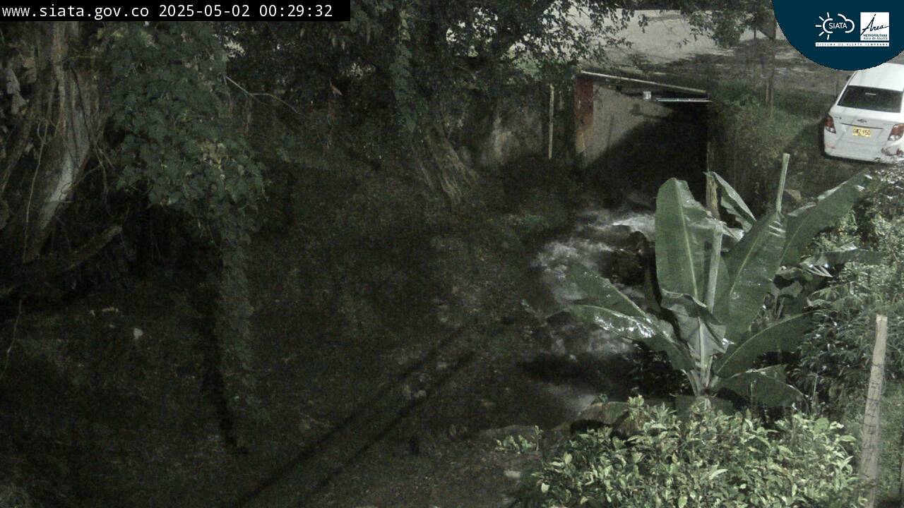
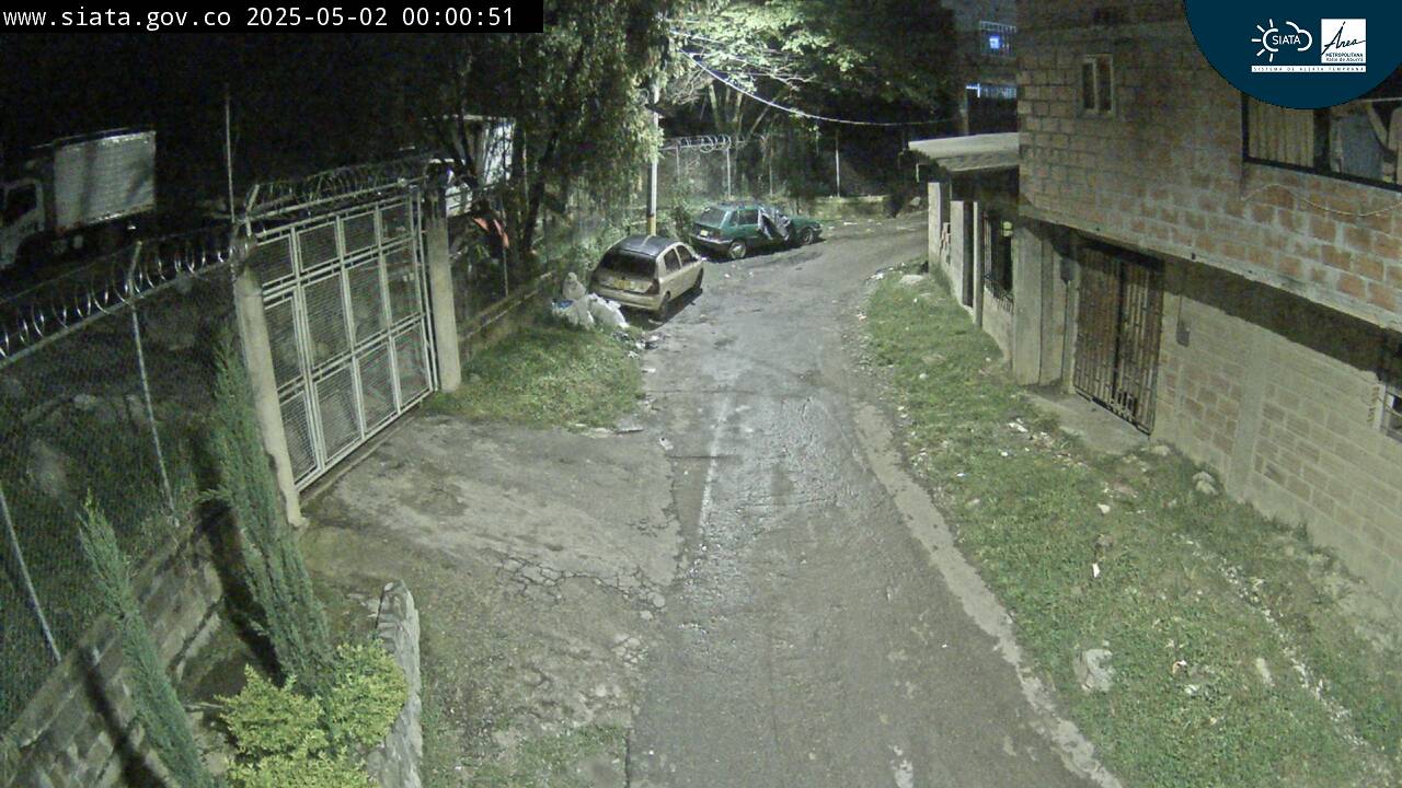
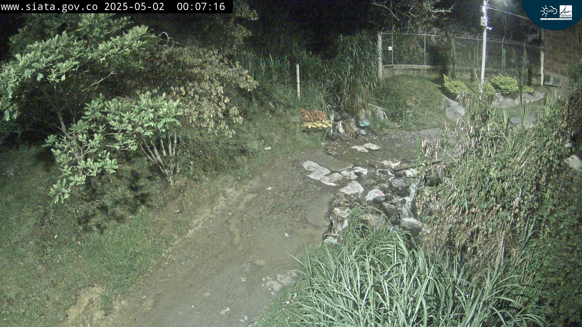
Webcams near Cerro de Las Baldías
History around Cerro de Las Baldías
Towns near Cerro de Las Baldías
- Bello10 km away
- Medellín13 km away
- Copacabana16 km away
- Itagüí17 km away
- Envigado18 km away
- La Estrella19 km away