El Peñón de Guatapé
2,135 m7,005 ft
Mountain · Cordillera Central · Colombia
The Rock of Guatapé is a landmark inselberg in Colombia. It is located in the town and municipality of Guatapé, Antioquia.
From Wikipedia, CC BY-SA · Read the article
At the summit · forecast for 4:00 AM
16 °CRain · wind 3 km/h from the NW
 See it in 3D
Weather at the summit of El Peñón de Guatapé, 2,135 m
- 4:00 AM16 °CNW 3 km/h1.1 mm
- 7:00 AM16 °CE 4 km/h0.4 mm
- 10:00 AM20 °CE 8 km/h1.2 mm
- 1:00 PM22 °CE 10 km/h3.6 mm
- 4:00 PM18 °CN 6 km/h0.5 mm
- 7:00 PM16 °CNE 4 km/h0.1 mm
- 10:00 PM16 °CSW 3 km/h0.2 mm
- 1:00 AM16 °CW 6 km/h0.6 mm
| Day | Sky | High / low | Rain | Wind up to |
|---|---|---|---|---|
| Today | Heavy rain | 22 °C / 15 °C | 6.9 mm | 11 km/h |
| Thu, Oct 29 | Rain | 23 °C / 15 °C | 6.6 mm | 13 km/h |
| Fri, Oct 30 | Light rain | 22 °C / 15 °C | 13.2 mm | 12 km/h |
| Sat, Oct 31 | Rain | 22 °C / 15 °C | 9 mm | 9 km/h |
| Sun, Nov 1 | Rain | 19 °C / 15 °C | 30.3 mm | 4 km/h |
| Mon, Nov 2 | Rain | 20 °C / 15 °C | 12.1 mm | 10 km/h |
| Tue, Nov 3 | Rain | 21 °C / 15 °C | 7.6 mm | 9 km/h |
Forecast by MET Norway (CC BY 4.0), updated 03:20 AM GMT-5. Times are local.
Facts
- What it is
- Mountain
- Height above sea level
- 2,135 m (7,005 ft)
- Range
- Cordillera Central
- Country
- Colombia
- First ascent
- July 1954
- Coordinates
- 6.219°N 75.179°W
- Source
- Wikidata, CC0
El Peñón de Guatapé
Rock in Colombia
The Rock of Guatapé is a landmark inselberg in Colombia. It is located in the town and municipality of Guatapé, Antioquia. It is also known as The Stone of El Peñol, or simply La Piedra or El Peñol, as the town of El Peñol, which borders Guatapé, has also historically claimed the rock as their own and thus has led to different names for the site.
From Wikipedia, CC BY-SA · Read the article
Peaks near El Peñón de Guatapé
- Cerro Nutibara1,551 m · 44 km awayOn the map
- Cerro El Volador82 m · 45 km awayOn the map
- Alto de Santa ElenaMountain · 36 km awayOn the map
- Alto de MinasHill · 52 km awayOn the map
- Cerro de Las BaldíasMountain · 53 km awayOn the map
Highest in the Cordillera Central
- Nevado del Ruiz5,389 mOn the map
- Nevado del Huila5,364 mOn the map
- Nevado del Tolima5,200 mOn the map
- Santa Isabel4,945 mOn the map
- Nevado del Quindío4,760 mOn the map
- Puracé4,756 mOn the map
- Nevado El Cisne4,636 mOn the map
- Paramillo de Santa Rosa4,585 mOn the map
- El Peñón de Guatapé2,135 mOn the map
Highest mountains in Colombia
- Pico Cristóbal Colón5,775 mOn the map
- Pico La Reina5,535 mOn the map
- Ritacuba Blanco5,410 mOn the map
- Nevado del Ruiz5,389 mOn the map
- Nevado del Huila5,364 mOn the map
- Nevado del Tolima5,200 mOn the map
- Santa Isabel4,945 mOn the map
- Cumbal4,764 mOn the map
- Nevado del Quindío4,760 mOn the map
- Puracé4,756 mOn the map
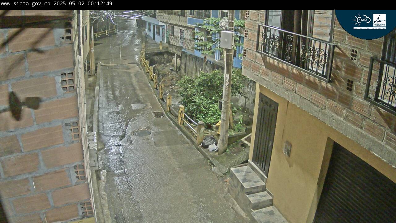
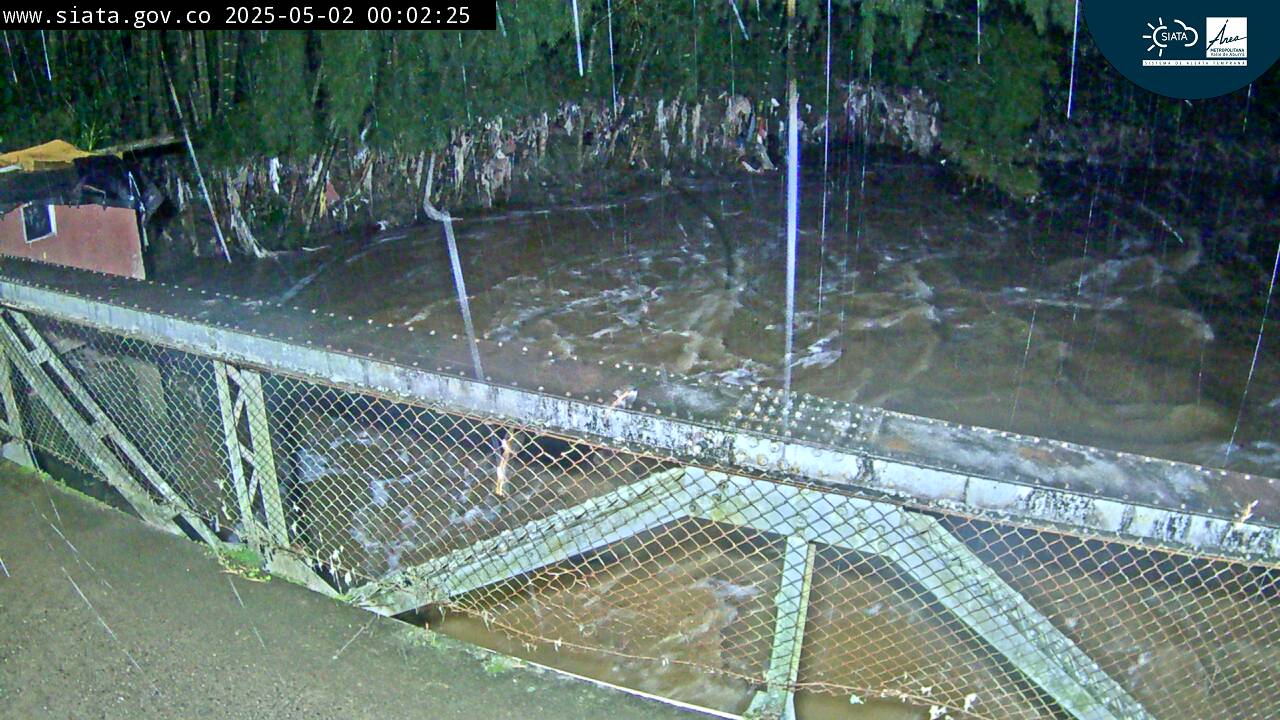
Webcams near El Peñón de Guatapé
Towns near El Peñón de Guatapé
- Santuario13 km away
- Marinilla18 km away
- San Vicente19 km away
- Rionegro23 km away
- Carmen de Viboral23 km away
- Barbosa30 km away