Cerro Las Piñas
山 · アメリカ合衆国
Cerro Las Piñas is a mountain of the Sierra de Cayey located in the boundary between the municipalities of Caguas and Cayey in central Puerto Rico. The summit is located at 2,425 feet above sea level, in the barrios Beatriz of Caguas, and Beatriz and Guavate of Cayey.
出典: Wikipedia、CC BY-SA · 記事を読む
山頂 · 21:00 の予報
73 °F晴れ時々曇り · 南の風 4 mph
 3D で見る
Cerro Las Piñasの天気予報
- 21:0073 °F南 4 mph–
- 0:0072 °F南東 4 mph–
- 3:0071 °F南東 6 mph–
- 6:0071 °F南 7 mph–
- 9:0078 °F南東 6 mph–
- 12:0083 °F南東 7 mph0.04 インチ
- 15:0080 °F南東 9 mph–
- 18:0074 °F南東 5 mph–
| 日付 | 天気 | 最高 / 最低 | 雨 | 最大風速 |
|---|---|---|---|---|
| 10月28日(水) | 雨 | 83 °F / 70 °F | 0.04 インチ | 9 mph |
| 10月29日(木) | 雨 | 82 °F / 70 °F | 0.07 インチ | 10 mph |
| 10月30日(金) | 小雨 | 84 °F / 69 °F | 0.04 インチ | 6 mph |
| 10月31日(土) | 雨 | 78 °F / 71 °F | 0.1 インチ | 7 mph |
| 11月1日(日) | 晴れ時々曇り | 80 °F / 70 °F | 0.12 インチ | 6 mph |
| 11月2日(月) | 曇り | 77 °F / 69 °F | 0.14 インチ | 6 mph |
| 11月3日(火) | 雨 | 84 °F / 69 °F | 0.17 インチ | 6 mph |
MET Norway(CC BY 4.0)による予報。19:17 GMT-4 更新。時刻は現地時間です。
基本データ
- 種類
- 山
- 座標
- 18.153°N 66.081°W
Cerro Las Piñas
Mountain between Caguas and Cayey, Puerto Rico
Cerro Las Piñas is a mountain of the Sierra de Cayey located in the boundary between the municipalities of Caguas and Cayey in central Puerto Rico. The summit is located at 2,425 feet above sea level, in the barrios Beatriz of Caguas, and Beatriz and Guavate of Cayey. The summit offers panoramic views of the Valley of Caguas and Cayey.
出典: Wikipedia、CC BY-SA · 記事を読む
Cerro Las Piñas周辺の山
- Altos de San Luis633 ft · 14 km先地図上
- セロ・ラス・テタス2,759 ft · 17 km先地図上
- Pico El Yunque3,543 ft · 35 km先地図上
- Los Picachos3,041 ft · 36 km先地図上
- Cerro Doña Juana3,471 ft · 42 km先地図上
- Cerro El Bolo3,527 ft · 43 km先地図上
- Cerro Rosa4,157 ft · 48 km先地図上
- Tres Picachos3,953 ft · 49 km先地図上
- Cerro Maravilla3,953 ft · 50 km先地図上
- Monte Jayuya4,314 ft · 52 km先地図上
アメリカ合衆国の高い山
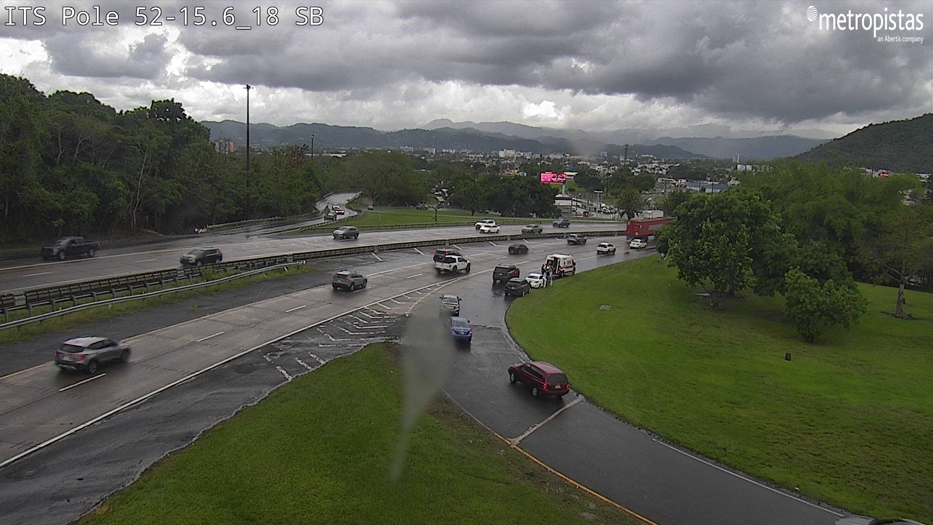
Cerro Las Piñas周辺のライブカメラ



Cerro Las Piñas周辺の歴史
- Masacre de Cayey1994